Ruta Nacional 40 (Argentina)
( National Route 40 (Argentina) )
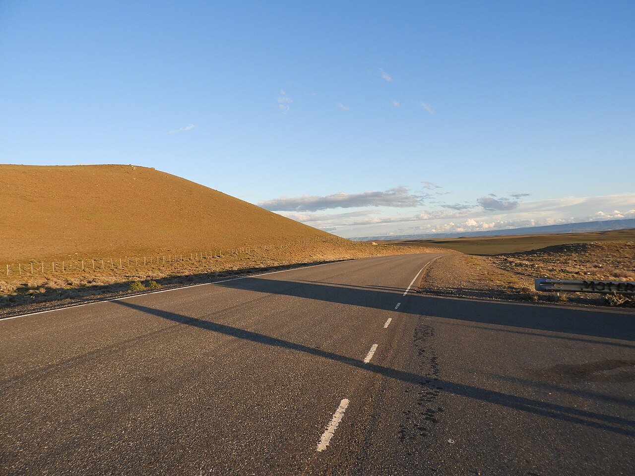
National Route 40, also known as RN40 or "Ruta 40", is a route in western Argentina, stretching from Cabo Vírgenes near Río Gallegos in Santa Cruz Province in the south to La Quiaca in Jujuy Province in the north with approximately 5194 km length. The route parallels the Andes mountains. The southern part of the route, by now largely paved, has become a well-known adventure tourism journey, and there are plans to pave the whole road.
RN40 is the longest route in South America and one of the longest in the world alongside such routes as U.S. Route 66, Canada's Trans-Canada Highway, and Australia's Stuart Highway, more than 5,000 kilometres (3,100 mi) long. At its traditional southern end near the city of Río Gallegos, it starts at sea level. It then crosses 20 national parks, 18 major rivers, and 27 passes in the Andes. Route 40's highest point is 5,000 m (16,404 ft) in Abra del Acay in Salta Province.
The road crosses the provinc...Read more
National Route 40, also known as RN40 or "Ruta 40", is a route in western Argentina, stretching from Cabo Vírgenes near Río Gallegos in Santa Cruz Province in the south to La Quiaca in Jujuy Province in the north with approximately 5194 km length. The route parallels the Andes mountains. The southern part of the route, by now largely paved, has become a well-known adventure tourism journey, and there are plans to pave the whole road.
RN40 is the longest route in South America and one of the longest in the world alongside such routes as U.S. Route 66, Canada's Trans-Canada Highway, and Australia's Stuart Highway, more than 5,000 kilometres (3,100 mi) long. At its traditional southern end near the city of Río Gallegos, it starts at sea level. It then crosses 20 national parks, 18 major rivers, and 27 passes in the Andes. Route 40's highest point is 5,000 m (16,404 ft) in Abra del Acay in Salta Province.
The road crosses the provinces of Santa Cruz, Chubut, Río Negro, Neuquen, Mendoza, San Juan, La Rioja, Catamarca, Tucumán, Salta, and Jujuy.


![[node:title]](/sites/default/files/styles/640x320/public/default_images/default_0.JPG.webp?itok=aqV9zhFR)


Add new comment