Blue Ridge Parkway

Begun during the administration of President Franklin D. Roosevelt, the project was originally called the Appalachian Scenic Highway.
Original plans called for the highway to connect Shenandoah National Park and Great Smoky Mountains National Park with the highway either turning west into Tennessee at Linville, North Carolina, or continuing southward through North Carolina. According to Super-scenic Motorway: A Blue Ridge Parkway History by Anne Mitchell Whisnant, the Tennessee route was recommended. However, Roosevelt had remained friends with Josephus Daniels, Roosevelt's superior as Secretary of the Navy during World War I. Daniels wanted the highway to go through North Carolina and persuaded Secretary of the Interior Harold L. Ickes to choose the North Carolina route.[1] The Bruce Bowers documentary The Blue Ridge Parkway: The Long and Winding Road gives Congressman Robert Doughton the credit for getting the route changed. The documentary claims Doughton worked to pass the Social Security Act only after getting the route changed.[2]
Most construction was carried out by private contractors under federal contracts under an authorization by Ickes in his role as federal public works administrator. Work began on September 11, 1935, near Cumberland Knob in North Carolina; construction in Virginia began the following February. On June 30, 1936, Congress formally authorized the project as the Blue Ridge Parkway and placed it under the jurisdiction of the National Park Service. Some work was carried out by various New Deal public works agencies. The Works Progress Administration did some roadway construction. Crews from the Emergency Relief Administration carried out landscape work and development of parkway recreation areas. Personnel from four Civilian Conservation Corps camps worked on roadside cleanup, roadside plantings, grading slopes, and improving adjacent fields and forest lands. During World War II, the CCC crews were replaced by conscientious objectors in the Civilian Public Service program.
The parkway's construction created jobs in the region, but also displaced many residents and created new rules and regulations for landowners, including requirements related to how farmers could transport crops.[3] Residents could no longer build on their lands without permission, or develop land except for agricultural use.[3] They were not permitted to use the parkway for any commercial travel but were required to transport equipment and materials on side roads.[3]
The Eastern Band of Cherokee Indians were also affected by the parkway, which was built through their lands.[4] From 1935 to 1940, they resisted giving up the right-of-way through the Qualla Boundary, and they were successful in gaining more favorable terms from the U.S. government.[4] Specifically, the revised bill "specified the parkway route, assured the $40,000 payment for the tribe's land, and required the state to build [a] regular highway through the Soco Valley". (The highway referred to is part of U.S. Route 19.)[4] Cherokee leaders participated in the dedications when the Cherokee sections opened in the 1950s.
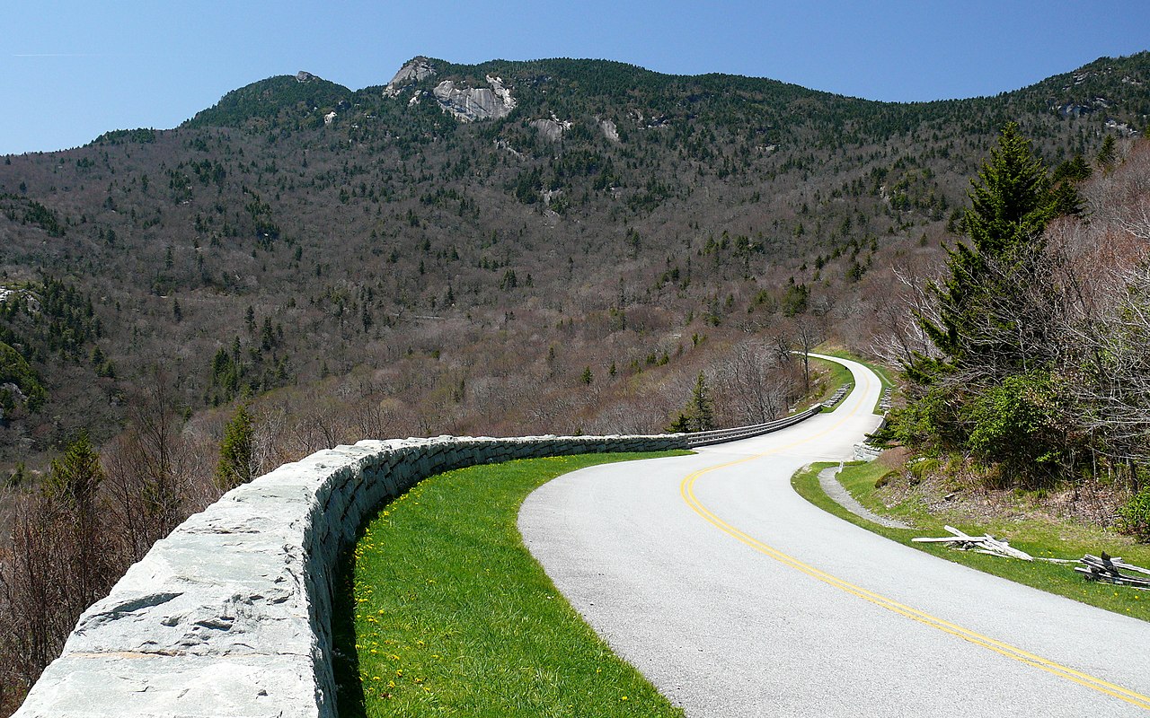
Construction of the parkway was complete by the end of 1966 with one notable exception.[5] The 7.7-mile (12.4 km) stretch including the Linn Cove Viaduct around Grandfather Mountain did not open until 1987.[6] The project took over 52 years to complete.
Due to serious damage in 2004 from Hurricane Frances, then again by Hurricane Ivan, many areas along the parkway were closed until the spring of 2005, with two areas that were not fully repaired until the spring of 2006.
The parkway was on North Carolina's version of the America the Beautiful quarter in 2015.[7]
Proposed extensionAn extension of the parkway from its terminus at Beech Gap, North Carolina to a point north of Atlanta, Georgia, was proposed in 1961 by North Carolina Congressman Roy A. Taylor. The route was proposed to pass Whiteside Mountain, Bridal Veil Falls, Cuilasaja Gorge, and Estatoah Falls, ending between Atlanta and Gainesville, Georgia after crossing the Chattahoochee River and passing to the east of Lake Sidney Lanier. By 1963 the National Park Service had proposed a terminus at Interstate 75 north of Marietta, Georgia, in the vicinity of Kennesaw Mountain National Battlefield Park.[8] President Lyndon B. Johnson signed a bill to extend the parkway in 1967. A five-year schedule was proposed, with a budget of $87,536,000 (equivalent to $529 million in 2020[9]). In 1970 planning was interrupted by the projected commercial development of land in the proposed path. Increasing costs associated with rerouting and the passage of time coincided with efforts to cut national debt and concerns about the project's environmental impact, and the project stalled in 1973. The project was formally cancelled on September 11, 1985; no construction work had ever taken place.[10][11]


 - CC BY-SA 3.0")


![[node:title]](/sites/default/files/styles/640x320/public/default_images/default_0.JPG.webp?itok=aqV9zhFR)


Afegeix un nou comentari