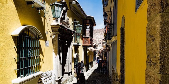
El Alto (Spanish for "The Heights") is the second-largest city in Bolivia, located adjacent to La Paz in Pedro Domingo Murillo Province on the Altiplano highlands. El Alto is today one of Bolivia's fastest-growing urban centers, with an estimated population of 943,558 in 2020. It is also the highest major city in the world, with an average elevation of 4,000 m (13,123 ft).
The El Alto–La Paz metropolitan area, formed by La Paz, El Alto, Achocalla, Viacha, and Mecapaca, constitutes the most populous urban area of Bolivia, with a population of about 2.2 million. It was originally a very poor area with unpaved roads and many improvised buildings, and significant challenges with substandard infrastructure and utilities remain, especially in the outlying areas. Nonetheless, the city is extremely rapidly developing. The construction of an elaborate cable car system connected El Alto directly with central La Paz, dramatically easing transportation into the economic center of t...Read more
El Alto (Spanish for "The Heights") is the second-largest city in Bolivia, located adjacent to La Paz in Pedro Domingo Murillo Province on the Altiplano highlands. El Alto is today one of Bolivia's fastest-growing urban centers, with an estimated population of 943,558 in 2020. It is also the highest major city in the world, with an average elevation of 4,000 m (13,123 ft).
The El Alto–La Paz metropolitan area, formed by La Paz, El Alto, Achocalla, Viacha, and Mecapaca, constitutes the most populous urban area of Bolivia, with a population of about 2.2 million. It was originally a very poor area with unpaved roads and many improvised buildings, and significant challenges with substandard infrastructure and utilities remain, especially in the outlying areas. Nonetheless, the city is extremely rapidly developing. The construction of an elaborate cable car system connected El Alto directly with central La Paz, dramatically easing transportation into the economic center of the metropolitan area. A locally indigenous Neo-Andean architectural style has developed alongside this growth, giving the city a distinct appearance as it has modernized.
The dry and inclement plain above La Paz was uninhabited until 1903 when the newly built railways from Lake Titicaca and Arica reached the rim of the canyon, where the La Paz terminus, railyards and depots were built along with a settlement of railway workers (a spur line down into the canyon opened in 1905). In 1925, the airfield was built as a base for the new air force, which attracted additional settlement. In 1939, El Alto's first elementary school opened. El Alto started to grow tremendously in the 1950s when the settlement was connected to La Paz's water supply (before this, all water had to be transported from La Paz in tanker vehicles) and building land in the canyon became more and more scarce and expensive. In an administrative reform in March 1985, the district of El Alto and its surroundings were politically separated from the City of La Paz (this date is officially referred to and celebrated as the city's "founding day"). In 1987, El Alto was formally incorporated as a city. In 1994, the city became the seat of the Roman Catholic Diocese of El Alto.
DistrictsEl Alto's autonomous government identifies 14 districts composing the city.


Add new comment