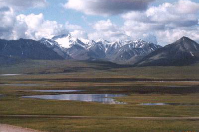
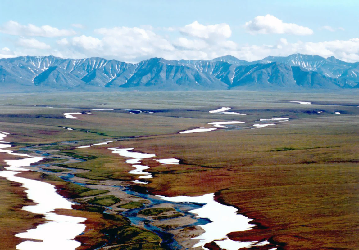
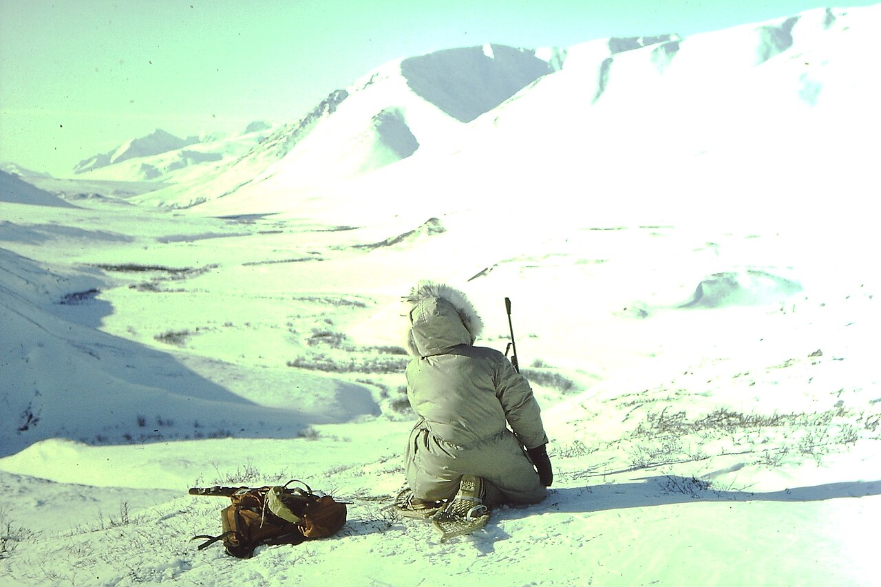
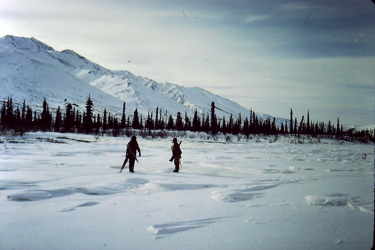
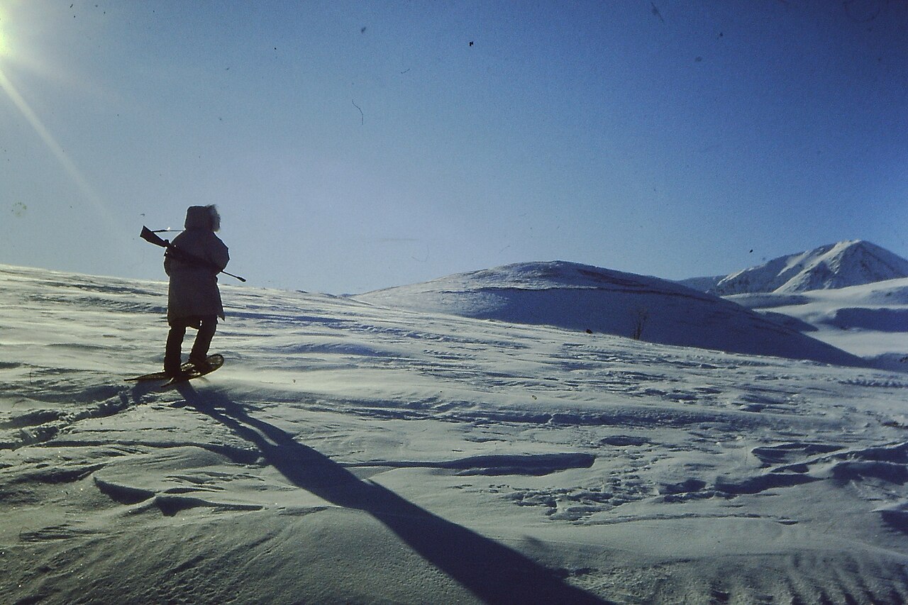
A cordilheira Brooks (em inglês: Brooks Range; gwich’in: Gwazhał) é uma cordilheira situada no extremo norte da América do Norte, estendendo-se por aproximadamente 1.126 quilômetros no sentido oeste-leste, desde o norte do Alasca até o Yukon, no Canadá. Seu ponto mais elevado é o Monte Isto, com 2.735 metros de altitude. Estima-se que a cordilheira tenha se formado há cerca de 126 milhões de anos, durante o período Cretáceo.
Nos Estados Unidos, a Cordilheira Brooks é geralmente considerada uma subcordilheira das Montanhas Rochosas. No entanto, no Canadá, ela é tratada como uma cadeia distinta, uma vez que o limite norte das Montanhas Rochosas canadenses é tradicionalmente situado bem mais ao sul, na região do rio Liard, na província da Colúmbia Britânica.
Apesar de ser uma região majoritariamente despovoada, a cordilheira é atravessada pela Dalton Highway e pelo Oleoduto Trans-Alasca, que passam pelo Passo de Atigun, um desfi...Ler mais
A cordilheira Brooks (em inglês: Brooks Range; gwich’in: Gwazhał) é uma cordilheira situada no extremo norte da América do Norte, estendendo-se por aproximadamente 1.126 quilômetros no sentido oeste-leste, desde o norte do Alasca até o Yukon, no Canadá. Seu ponto mais elevado é o Monte Isto, com 2.735 metros de altitude. Estima-se que a cordilheira tenha se formado há cerca de 126 milhões de anos, durante o período Cretáceo.
Nos Estados Unidos, a Cordilheira Brooks é geralmente considerada uma subcordilheira das Montanhas Rochosas. No entanto, no Canadá, ela é tratada como uma cadeia distinta, uma vez que o limite norte das Montanhas Rochosas canadenses é tradicionalmente situado bem mais ao sul, na região do rio Liard, na província da Colúmbia Britânica.
Apesar de ser uma região majoritariamente despovoada, a cordilheira é atravessada pela Dalton Highway e pelo Oleoduto Trans-Alasca, que passam pelo Passo de Atigun, um desfiladeiro a 1.415 metros de altitude, rumo aos campos petrolíferos de Prudhoe Bay, no norte do Alasca. As principais comunidades ao longo da cordilheira são as aldeias indígenas de Anaktuvuk Pass e Arctic Village, além de pequenas localidades como Coldfoot, Wiseman, Bettles e Chandalar. No extremo oeste da cordilheira, próximo ao rio Wulik, situam-se as Montanhas De Long e a mina Red Dog, uma das maiores minas de zinco do mundo.


 - CC BY-SA 4.0")

![[node:title]](/sites/default/files/styles/640x320/public/default_images/default_0.JPG.webp?itok=aqV9zhFR)


Adicionar novo comentário