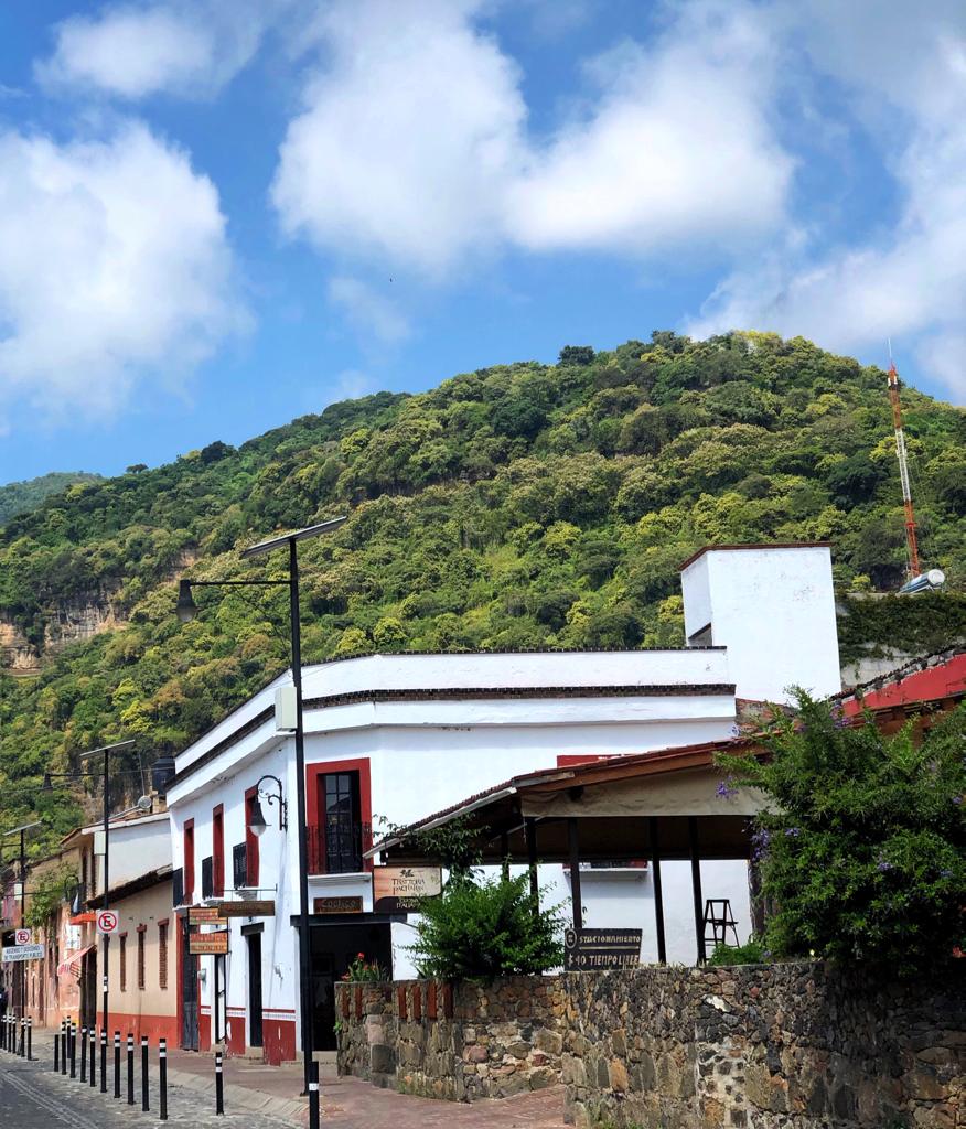
Malinalco (Spanish pronunciation: [maliˈnalko]) is the municipality inside of Ixtapan Region, is a town and municipality located 65 kilometers south of the city of Toluca in the south of the western portion of the State of Mexico. Malinalco is 115 km (71 mi) southwest of Mexico City.
Malinalco has always been associated with magic or sorcery due to the legend that it was the home the goddess Malinalxóchitl. The municipality is home to the famed village of Chalma, where according to legend, an image of a Black Christ miraculously appeared in a cave that was devoted to the god Oxtoteotl. It is the second-most visited shrine in Mexico, after the Basilica of Our Lady of Guadalupe.
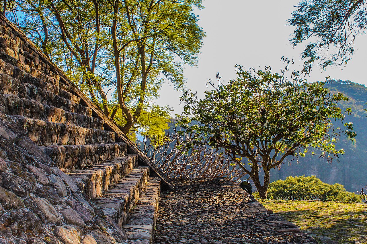
The Aztecs conquered the area in the 1470s, and established a sanctuary for their military elite, the Eagle and Jaguar warriors. The complex was built on the Cerro de los Idolos (Hill of the Idols), over an older ceremonial site. The main at...Read more
Malinalco (Spanish pronunciation: [maliˈnalko]) is the municipality inside of Ixtapan Region, is a town and municipality located 65 kilometers south of the city of Toluca in the south of the western portion of the State of Mexico. Malinalco is 115 km (71 mi) southwest of Mexico City.
Malinalco has always been associated with magic or sorcery due to the legend that it was the home the goddess Malinalxóchitl. The municipality is home to the famed village of Chalma, where according to legend, an image of a Black Christ miraculously appeared in a cave that was devoted to the god Oxtoteotl. It is the second-most visited shrine in Mexico, after the Basilica of Our Lady of Guadalupe.
The Aztecs conquered the area in the 1470s, and established a sanctuary for their military elite, the Eagle and Jaguar warriors. The complex was built on the Cerro de los Idolos (Hill of the Idols), over an older ceremonial site. The main attraction of this archeological site is the Cuauhcalli or House of Eagles, which is a building carved out of the side of the mountain.
The name Malinalco comes from the Nahuatl word malinalli, which is a kind of grass (Poaceae) called zacate del carbonero in Spanish, the word xóchitl, which means flower and co, which means place, which a translation of “where they worship the goddess Malinalxóchitl, the malinalli flower”. The name also refers to one of the time periods on the Aztec calendar, marked by the malinalli plant, according to the Quauhtinchan Annals. In Aztec and early colonial times, the area was represented by a number of glyphs, often with elements of the malinalli plant and/or a human skull to indicate sacrifice.
Unlike most other municipalities in the state of Mexico, Malinalco does not use an Aztec glyph or coat of arms. Instead, it has a logo that was designed by Ernesto Romero Tetazin in 1985. It consists of the seal of the nation of Mexico, from which rises a figure that simulates a low mountain under a malinalli flower. This includes the motto “Your archeology is the perseverance of our race, culture and work” (Tu arqueología constancia de nuestra raza cultura y trabajo). To the left is the word Malinaltepetl.


![[node:title]](/sites/default/files/styles/640x320/public/default_images/default_0.JPG.webp?itok=aqV9zhFR)


Add new comment