Malé is the capital and most populous city of the Maldives. With a population of 211,908 in 2022 within its administrative area and coterminous geographical area of 8.30 square kilometres (3.20 sq mi), Malé is one of the most densely populated cities in the world. The city is geographically located in the southern edge of North Malé Atoll (Kaafu Atoll).
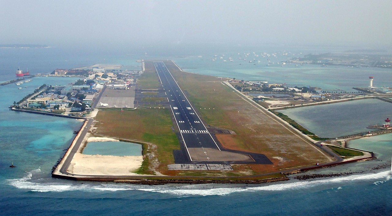
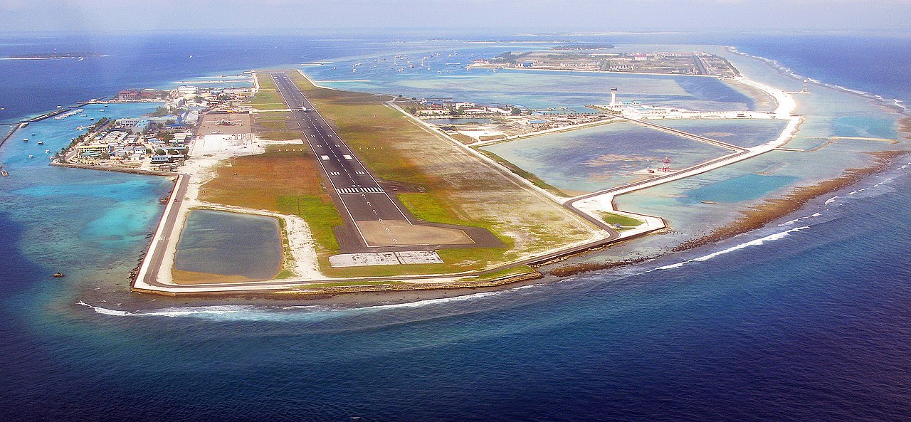
Administratively, the city consists of a central island, an airport island, and five other islands presided over by the Malé City Council.
Traditionally it was the King's Island, from where the ancient royal dynasties ruled and where the palace was located. The city was then called Mahal. Formerly it was a walled city surrounded by fortifications and gates (doroshi). The Royal Palace (Gan'duvaru) was destroyed along with the picturesque forts (koshi) and bastions (buruzu) when the city was remodelled under President Ibrahim Nasir's rule in the afte...Read more
Malé is the capital and most populous city of the Maldives. With a population of 211,908 in 2022 within its administrative area and coterminous geographical area of 8.30 square kilometres (3.20 sq mi), Malé is one of the most densely populated cities in the world. The city is geographically located in the southern edge of North Malé Atoll (Kaafu Atoll).
Administratively, the city consists of a central island, an airport island, and five other islands presided over by the Malé City Council.
Traditionally it was the King's Island, from where the ancient royal dynasties ruled and where the palace was located. The city was then called Mahal. Formerly it was a walled city surrounded by fortifications and gates (doroshi). The Royal Palace (Gan'duvaru) was destroyed along with the picturesque forts (koshi) and bastions (buruzu) when the city was remodelled under President Ibrahim Nasir's rule in the aftermath of the abolition of the monarchy in 1968. However, some buildings remained, namely, the Malé Friday Mosque. In the last few decades, the island has been considerably expanded in size through land reclamation. Over the years, Malé has been the center of political protests and milestone events.
Islam has played a central role in the city's history since 1153 CE, when the Maldives converted from Buddhism to Islam under the influence of North African traders and missionaries. This religious shift deeply influenced Malé’s cultural and architectural identity, visible today in the form of mosques such as the 17th-century Hukuru Miskiy (Friday Mosque), built from coral stone and considered one of the oldest mosques in the country. Over the centuries, Malé has remained not only the capital but also the symbolic and historical core of the Maldives.


Add new comment