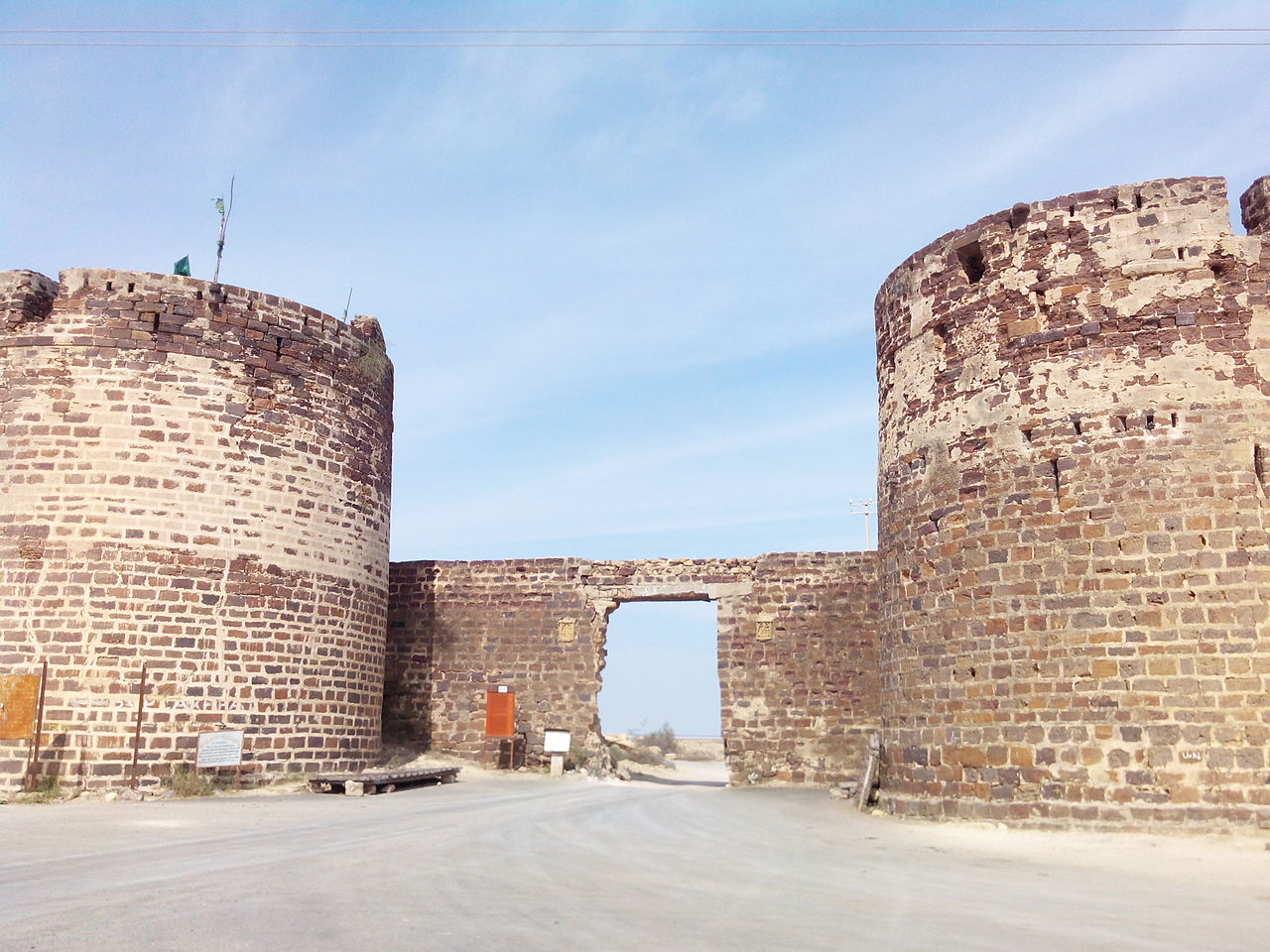
लखपत ( Lakhpat ) Wikipedia body audio Home India Gujarat Lakhpat Description Lakhpat is a town in Kachchh district in the Indian state of Gujarat located at the mouth of the Kori Creek. The town is enclosed by 7km-long, 18th century fort walls. 0 0 0 0 0 0 Submit Reset More information Photographies by: Zones India Gujarat Statistics: Position 5229 Statistics: Rank 65344 Add new comment Comment About text formats CAPTCHA Security Code 378612594Click/tap this sequence: 9497 Esta pregunta es para comprobar si usted es un visitante humano y prevenir envíos de spam automatizado. Save Google street view Google street view Where can you sleep near Lakhpat ? Booking.com What can you do near Lakhpat ? Bhujia Fort Shah Jahan Mosque, Thatta Makli Necropolis रन ऑफ कच्छ Rann of Kutch dholavira kutch road Sunway Lagoon नागेश्वर मंदिर, द्वारका Nageshvara Jyotirlinga Sant Nenuram Ashram Hinglaj Mata Temple Pacco Qillo Tomb of Tharo Khan Tombs of the Talpur Mirs Tomb of Mian Ghulam Kalhoro Chaukhandi tombs Grand Jamia Mosque Mazar-e-Quaid National Museum of Pakistan New Memon Masjid Ranikot Fort View more on the map 9.011.295 visits in total, 407.503 Points of interest, 405 Destinations, 5.064 visits today.


![[node:title]](/sites/default/files/styles/640x320/public/default_images/default_0.JPG.webp?itok=aqV9zhFR)


Add new comment