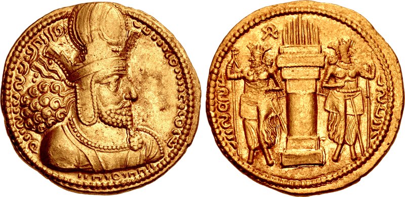
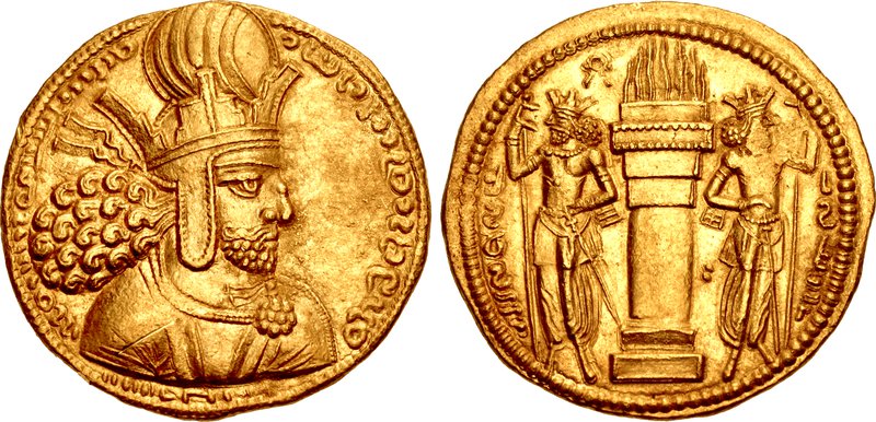
Ctesiphon ( TESS-if-on; Middle Persian: , Tyspwn or Tysfwn; Persian: تیسفون; Ancient Greek: Κτησιφῶν, Attic Greek: [ktɛːsipʰɔ̂ːn]; Syriac: ܩܛܝܣܦܘܢ) was an ancient city in modern Iraq, on the eastern bank of the Tigris, about 35 kilometres (22 mi) southeast of Baghdad. Ctesiphon served as a royal capital of the Iranian empires for over eight hundred years, in the Parthian and Sasanian periods. Ctesiphon was the capital of the Sasanian Empire from 226–637 until the Muslim conquest of Persia in 651 AD.
Ctesiphon developed into a rich commercial metropolis, merging with the surrounding cities along both shores of the river, including the Hellenistic city of Seleucia. Ctesiphon and its environs were therefore sometim...Read more
Ctesiphon ( TESS-if-on; Middle Persian: , Tyspwn or Tysfwn; Persian: تیسفون; Ancient Greek: Κτησιφῶν, Attic Greek: [ktɛːsipʰɔ̂ːn]; Syriac: ܩܛܝܣܦܘܢ) was an ancient city in modern Iraq, on the eastern bank of the Tigris, about 35 kilometres (22 mi) southeast of Baghdad. Ctesiphon served as a royal capital of the Iranian empires for over eight hundred years, in the Parthian and Sasanian periods. Ctesiphon was the capital of the Sasanian Empire from 226–637 until the Muslim conquest of Persia in 651 AD.
Ctesiphon developed into a rich commercial metropolis, merging with the surrounding cities along both shores of the river, including the Hellenistic city of Seleucia. Ctesiphon and its environs were therefore sometimes referred to as "The Cities" (Mahuza, Arabic: المدائن, romanized: al-Mada'in). In the late sixth and early seventh century, it was listed as the largest city in the world by some accounts.
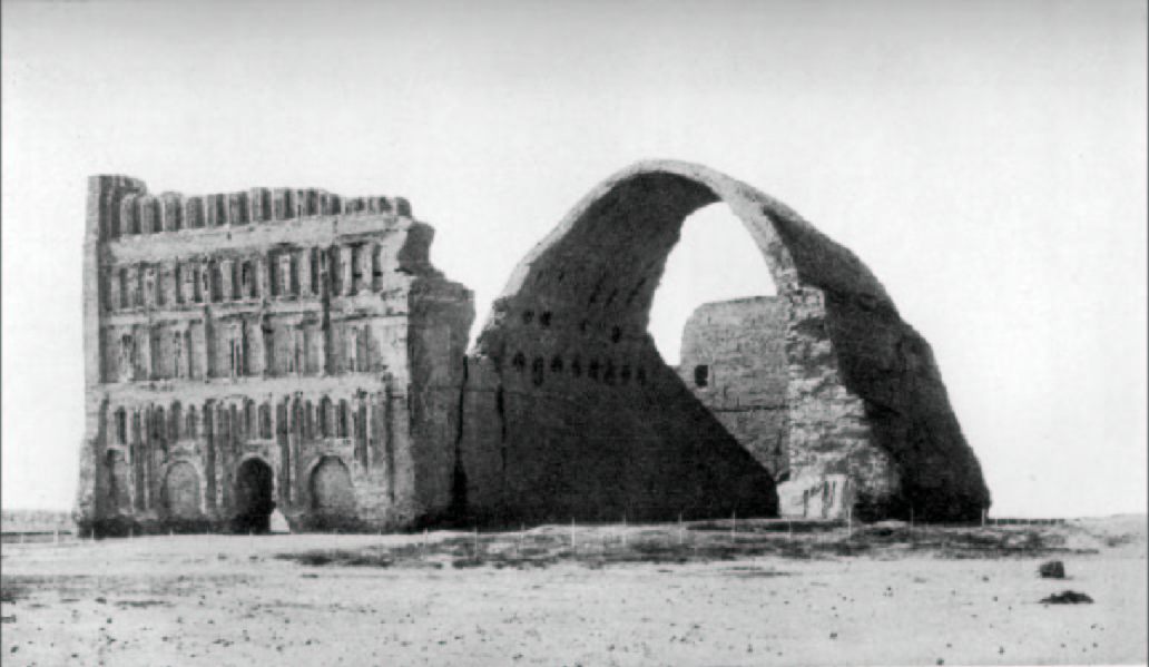
During the Roman–Parthian Wars, Ctesiphon fell three times to the Romans, and later fell twice during Sassanian rule in 283 and 299 respectively. It was also the site of the Battle of Ctesiphon in 363 AD. After the Muslim invasion, the city fell into decay and was depopulated by the end of the eighth century, its place as a political and economic center taken by the Abbasid capital at Baghdad. The most conspicuous structure remaining today is the Taq Kasra, sometimes called the Archway of Ctesiphon.


![[node:title]](/sites/default/files/styles/640x320/public/default_images/default_0.JPG.webp?itok=aqV9zhFR)


Add new comment