Ciudad Mitad del Mundo
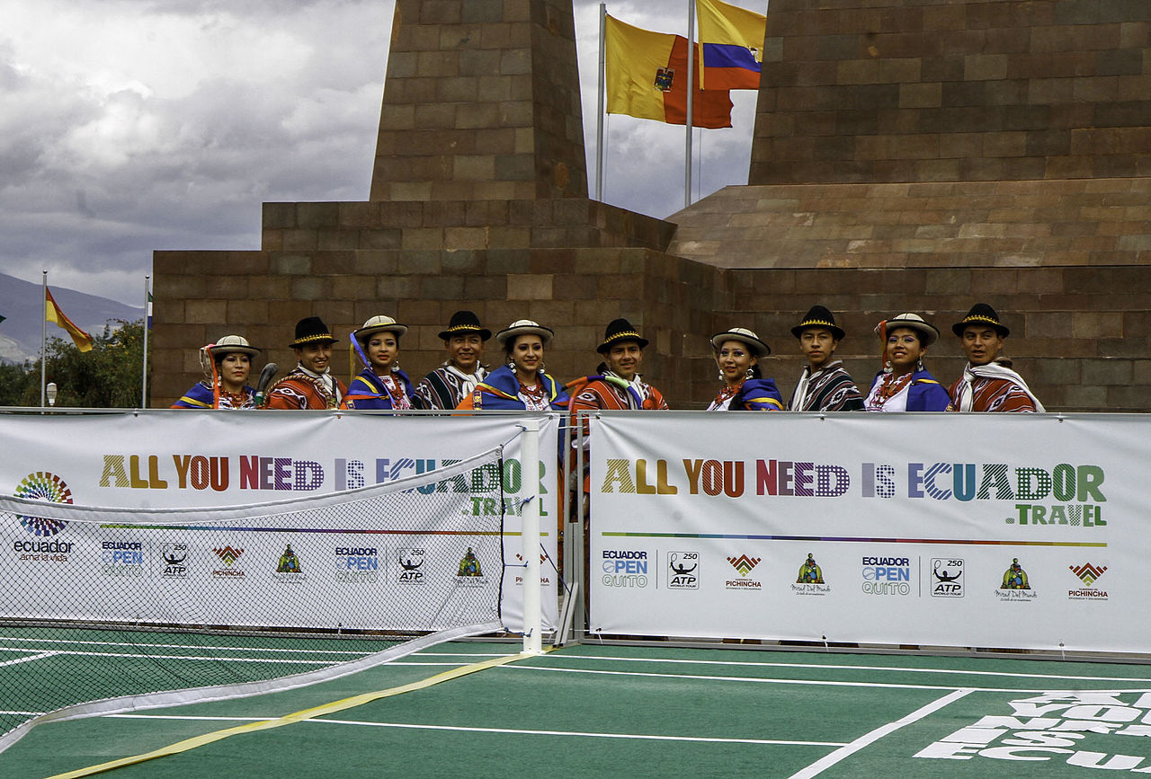
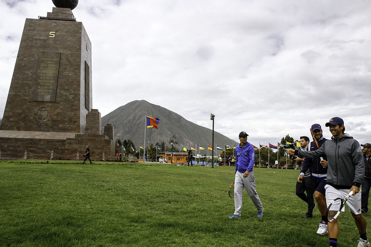
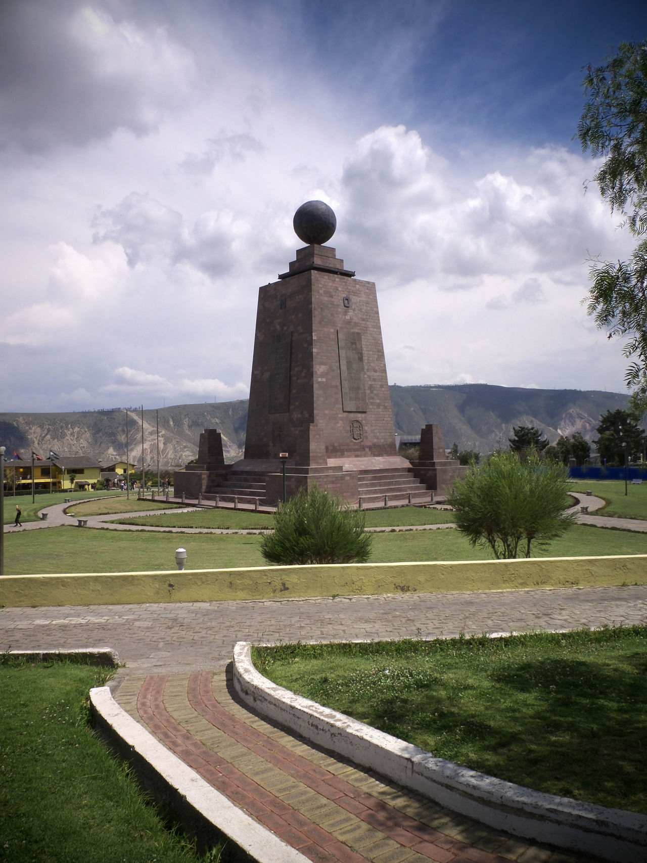
The Ciudad Mitad del Mundo (Middle of the World City) is a tract of land owned by the prefecture of the province of Pichincha, Ecuador. It is located at San Antonio parish of the canton of Quito, 26 km (16 mi) north of the center of Quito. The grounds contain the Monument to the Equator, which highlights the exact location of the Equator (from which the country takes its name) and commemorates the eighteenth-century Franco-Spanish Geodesic Mission which fixed its approximate location; they also contain the Museo Etnográfico Mitad del Mundo, Ethnographic Museum Middle of the Earth, a museum about the indigenous people ethnography of Ecuador.
The 30-metre-tall (98 ft) monument was constructed between 1979 and 1982 by Architect and Contractor Alfredo Fabián Páez with Carlos Mancheno President of Pichincha's Province Council to replace an older, smaller monument built by the Government of Ecuador under the direction of the geographer Luis Tufiño in 193...Read more
The Ciudad Mitad del Mundo (Middle of the World City) is a tract of land owned by the prefecture of the province of Pichincha, Ecuador. It is located at San Antonio parish of the canton of Quito, 26 km (16 mi) north of the center of Quito. The grounds contain the Monument to the Equator, which highlights the exact location of the Equator (from which the country takes its name) and commemorates the eighteenth-century Franco-Spanish Geodesic Mission which fixed its approximate location; they also contain the Museo Etnográfico Mitad del Mundo, Ethnographic Museum Middle of the Earth, a museum about the indigenous people ethnography of Ecuador.
The 30-metre-tall (98 ft) monument was constructed between 1979 and 1982 by Architect and Contractor Alfredo Fabián Páez with Carlos Mancheno President of Pichincha's Province Council to replace an older, smaller monument built by the Government of Ecuador under the direction of the geographer Luis Tufiño in 1936. It is made of iron and concrete and covered with cut and polished andesite stone. The monument was built to commemorate the first Geodesic Mission of the French Academy of Sciences, led by Louis Godin, Pierre Bouguer and Charles Marie de La Condamine, who, in the year 1736, conducted experiments to test the flattening at the poles of the characteristic shape of the Earth, by comparing the distance between a degree meridian in the equatorial zone to another level measured in Sweden. The older monument was moved 7 km (4.3 mi) to a small town near there called Calacalí.
The UNASUR former headquarters is located in this place, but is now in disuse following Ecuador's withdrawal from the organization in 2019. Contrary to popular belief, there are only two points of interest positioned exactly on the equator: the Catequilla archaeological site, and the Quitsato Sundial.


![[node:title]](/sites/default/files/styles/640x320/public/default_images/default_0.JPG.webp?itok=aqV9zhFR)
Add new comment