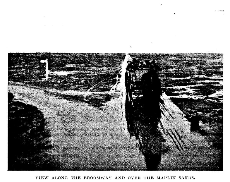
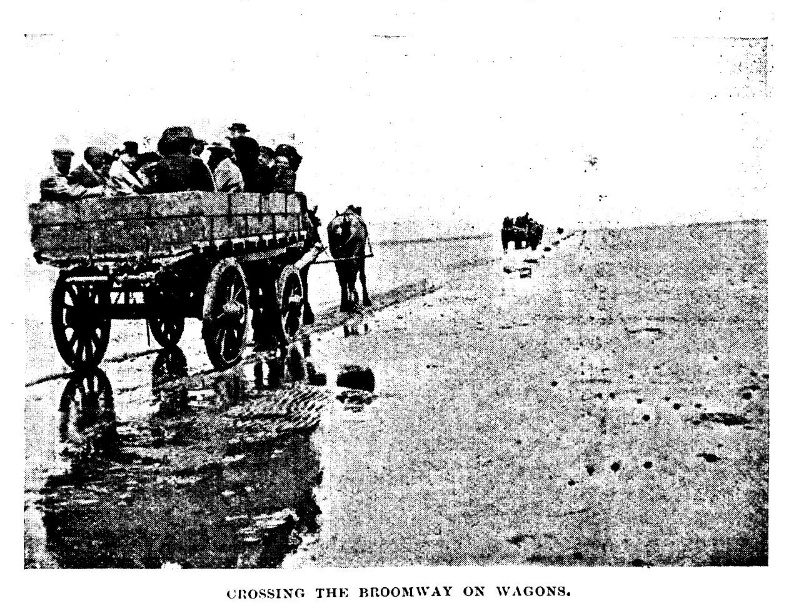
The Broomway, also formerly called the Broom Road, is a public right of way over the foreshore at Maplin Sands off the coast of Essex, England. Most of the route is classed as a byway open to all traffic, with a shorter section of bridleway. When the tide is out, it provides access to Foulness Island, and was the only access to Foulness on foot, and the only access at low tide, until a road bridge was built over Havengore Creek in 1922.
At over 600 years old, recorded as early as 1419, the Broomway runs for 6 miles (9.7 km) along the Maplin Sands, approximately 440 yards (400 m) from the present shoreline. It was named for the "brooms", bundles of twigs attached to short poles, with which the route was once marked. A number of headways or hards ran from the track to the shore, giving access to local farms.
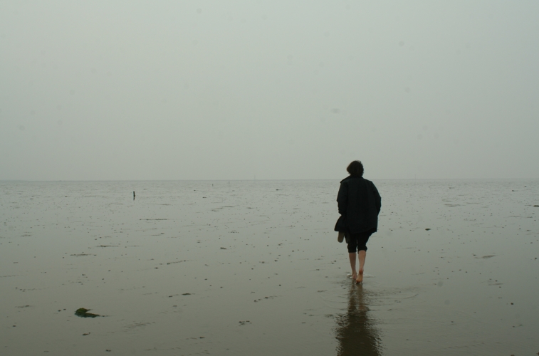
The Broomway is extremely dangerous in misty weather, as the incoming tide floods across the sands at high speed and t...Read more
The Broomway, also formerly called the Broom Road, is a public right of way over the foreshore at Maplin Sands off the coast of Essex, England. Most of the route is classed as a byway open to all traffic, with a shorter section of bridleway. When the tide is out, it provides access to Foulness Island, and was the only access to Foulness on foot, and the only access at low tide, until a road bridge was built over Havengore Creek in 1922.
At over 600 years old, recorded as early as 1419, the Broomway runs for 6 miles (9.7 km) along the Maplin Sands, approximately 440 yards (400 m) from the present shoreline. It was named for the "brooms", bundles of twigs attached to short poles, with which the route was once marked. A number of headways or hards ran from the track to the shore, giving access to local farms.
The Broomway is extremely dangerous in misty weather, as the incoming tide floods across the sands at high speed and the water forms whirlpools from flows of the River Crouch and River Roach. Under such conditions, the direction of the shore cannot be determined. After the road bridge was opened in 1922, the track ceased to be used, except by the military.


. - CC BY-SA 3.0")

![[node:title]](/sites/default/files/styles/640x320/public/default_images/default_0.JPG.webp?itok=aqV9zhFR)


Add new comment