
Eureka Valley (Inyo County)
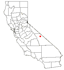
Eureka Valley is located in Inyo County, in eastern California in the southwestern United States. It is approximately 28 miles (45 km) long and up to 10 miles (16 km) wide, with elevations varying from 2870 feet (875 m) up to 8456 feet (2575 m). The southern section of the valley is now part of the Death Valley National Park - Death Valley itself lies just to the southeast. To the north is Deep Springs Valley, Fish Lake Valley, and the White Mountain Range. To the east the Last Chance Range rises over 5500 feet (1675 m) above the valley floor. To the west are the Saline Mountains, and to the southwest lies Saline Valley.
Eureka Valley is a graben, like most other lower-lying areas of the Basin and Range Province. An improved gravel road crosses the valley, connecting the community of Big Pine to the northern Grapevine section of Death Valley. A 10-mile gravel road provides access to the southern end of the valley. More primitive routes exit…Weiterlesen
Eureka Valley is located in Inyo County, in eastern California in the southwestern United States. It is approximately 28 miles (45 km) long and up to 10 miles (16 km) wide, with elevations varying from 2870 feet (875 m) up to 8456 feet (2575 m). The southern section of the valley is now part of the Death Valley National Park - Death Valley itself lies just to the southeast. To the north is Deep Springs Valley, Fish Lake Valley, and the White Mountain Range. To the east the Last Chance Range rises over 5500 feet (1675 m) above the valley floor. To the west are the Saline Mountains, and to the southwest lies Saline Valley.
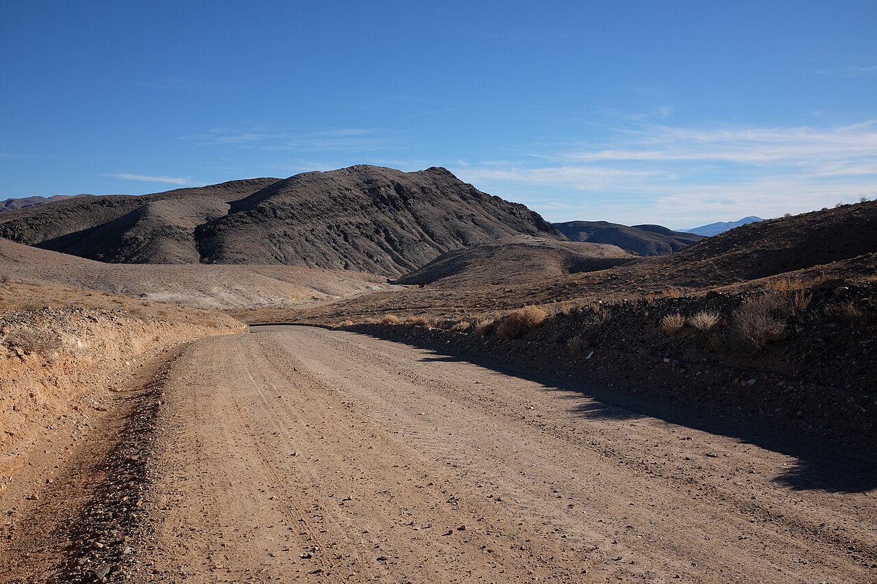
Eureka Valley is a graben, like most other lower-lying areas of the Basin and Range Province. An improved gravel road crosses the valley, connecting the community of Big Pine to the northern Grapevine section of Death Valley. A 10-mile gravel road provides access to the southern end of the valley. More primitive routes exit the valley to the northwest via Soldier Pass, to the northeast via Horse Thief Pass, and to the south via Dedeckera Canyon.
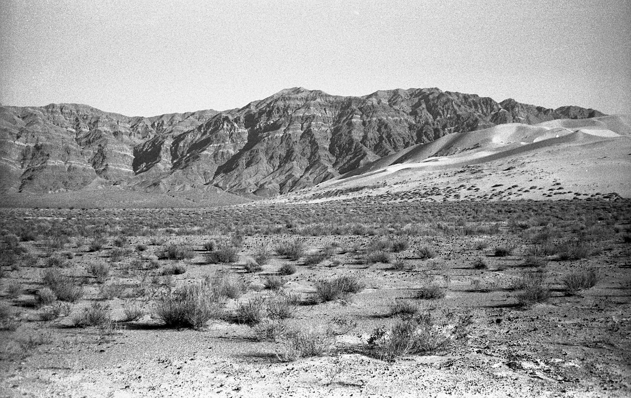
The valley has two distinguishing features. Its shape alters the wind in such a way as to collect sand near its southern end, leading to the unique Eureka Dunes. Just to the east of the dunes, the Last Chance Range climbs over 3500 feet (1070 m) as near-vertical cliffs, displaying colorful rock strata.






Neuen Kommentar hinzufügen