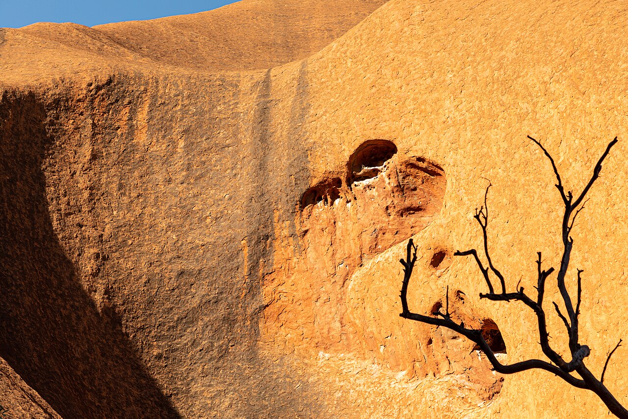
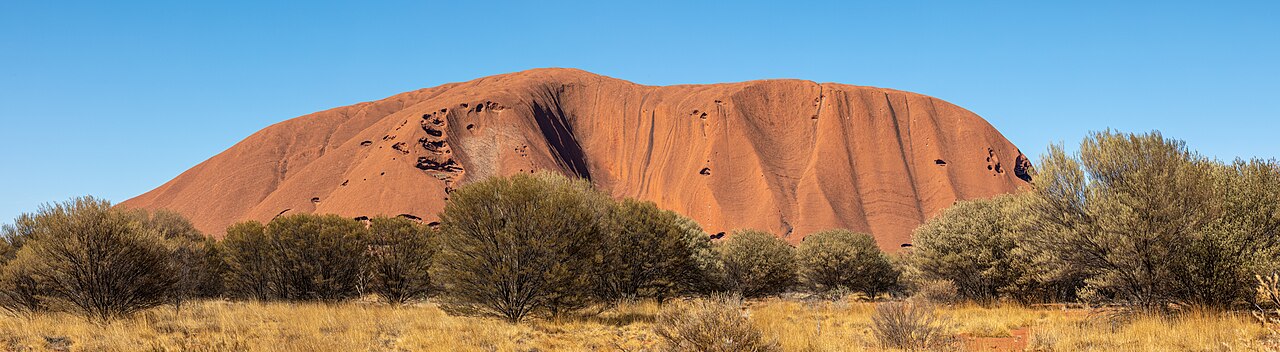
Uluru (; Pitjantjatjara: Uluṟu [ˈʊlʊɻʊ]), also known as Ayers Rock ( AIRS) and officially gazetted as Uluru / Ayers Rock, is a large sandstone monolith. It crops out near the centre of Australia in the southern part of the Northern Territory, 335 km (208 mi) south-west of Alice Springs.
Uluru is sacred to the Pitjantjatjara, the Aboriginal people of the area, known as the Aṉangu. The area around the formation is home to an abundance of springs, waterholes, rock caves and ancient paintings. Uluru is listed as a UNESCO World Heritage Site. Uluru and Kata Tjuta (Also known as the Olgas) are the two major features of the Uluṟu-Kata Tjuṯa National Park.
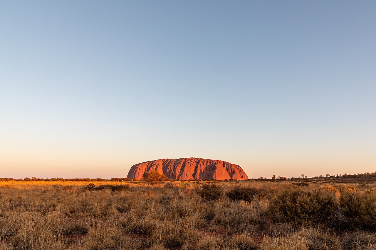
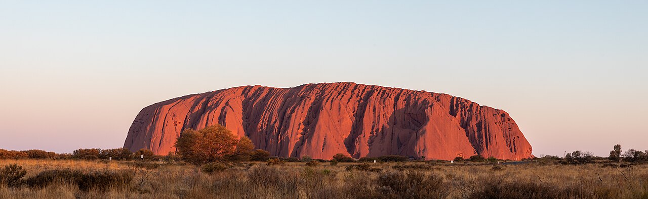
Uluru is one of Australia's most recognisable natural landmarks and has been a popular destination for tourists since the late 1930...Read more
Uluru (; Pitjantjatjara: Uluṟu [ˈʊlʊɻʊ]), also known as Ayers Rock ( AIRS) and officially gazetted as Uluru / Ayers Rock, is a large sandstone monolith. It crops out near the centre of Australia in the southern part of the Northern Territory, 335 km (208 mi) south-west of Alice Springs.
Uluru is sacred to the Pitjantjatjara, the Aboriginal people of the area, known as the Aṉangu. The area around the formation is home to an abundance of springs, waterholes, rock caves and ancient paintings. Uluru is listed as a UNESCO World Heritage Site. Uluru and Kata Tjuta (Also known as the Olgas) are the two major features of the Uluṟu-Kata Tjuṯa National Park.
Uluru is one of Australia's most recognisable natural landmarks and has been a popular destination for tourists since the late 1930s. It is also one of the most important indigenous sites in Australia.


Add new comment