Sundarbans
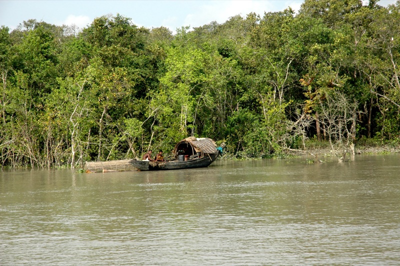
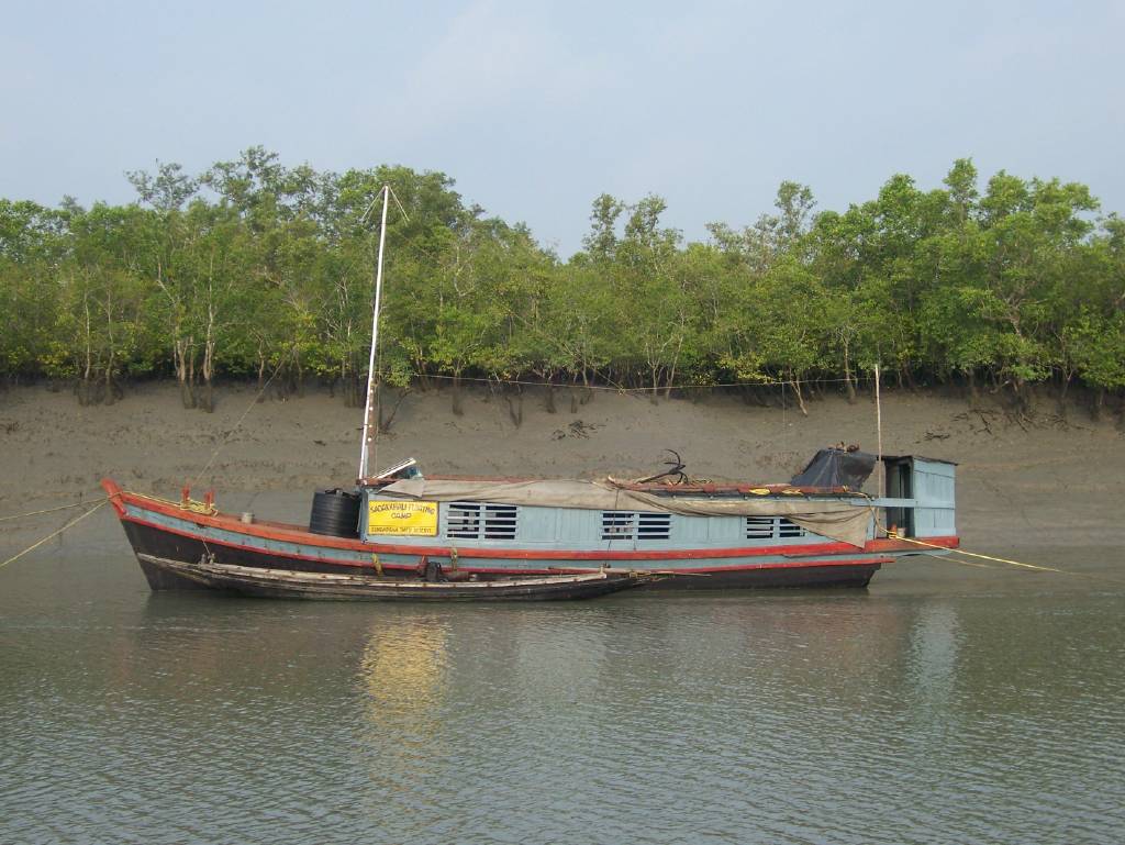
Sundarbans (Bengali: সুন্দরবন; pronounced ) is a mangrove forest area in the Ganges Delta formed by the confluence of the Ganges, Brahmaputra and Meghna Rivers in the Bay of Bengal. It spans the area from the Hooghly River in India's state of West Bengal to the Baleswar River in Bangladesh's Khulna Division. It comprises closed and open mangrove forests, land used for agricultural purpose, mudflats and barren land, and is intersected by multiple tidal streams and channels. Spread across 10,000 km2 (3,900 sq mi), it is the world's largest mangrove forest. The islands are also of great economic importance as a storm barrier, shore stabiliser, nutrient and sediment trap, a source of timber and natural resources, and support a wide variety of aquatic, benthic and terrestrial organisms. They are an excellent example of the ecological processes of monsoon rain flooding, de...Read more
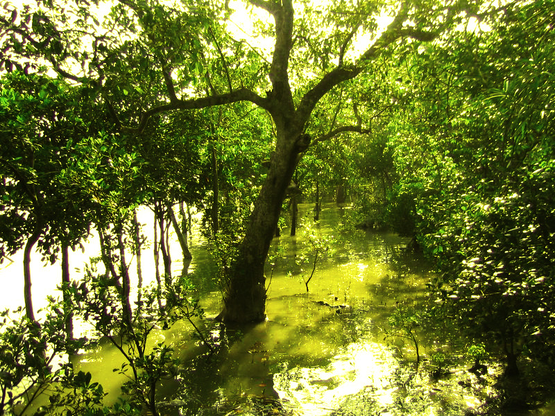
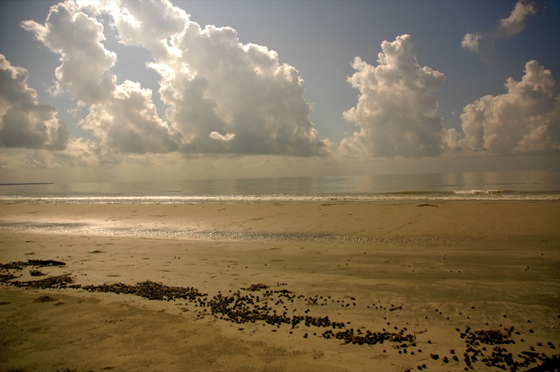
Sundarbans (Bengali: সুন্দরবন; pronounced ) is a mangrove forest area in the Ganges Delta formed by the confluence of the Ganges, Brahmaputra and Meghna Rivers in the Bay of Bengal. It spans the area from the Hooghly River in India's state of West Bengal to the Baleswar River in Bangladesh's Khulna Division. It comprises closed and open mangrove forests, land used for agricultural purpose, mudflats and barren land, and is intersected by multiple tidal streams and channels. Spread across 10,000 km2 (3,900 sq mi), it is the world's largest mangrove forest. The islands are also of great economic importance as a storm barrier, shore stabiliser, nutrient and sediment trap, a source of timber and natural resources, and support a wide variety of aquatic, benthic and terrestrial organisms. They are an excellent example of the ecological processes of monsoon rain flooding, delta formation, tidal influence and plant colonisation. Covering 133,010 ha, the area is estimated to comprise about 55% forest land and 45% wetlands in the form of tidal rivers, creeks, canals and vast estuarine mouths of the river. About 66% of the entire mangrove forest area is estimated to occur in Bangladesh, with the remaining 34% in India.[2]
Four protected areas in the Sundarbans are enlisted as UNESCO World Heritage Sites, viz. Sundarbans West, Sundarbans South, Sundarbans East in Bangladesh and Sundarbans National Park in India. The Indian Sundarbans were considered endangered in a 2020 assessment under the IUCN Red List of Ecosystems framework. The most abundant tree species are sundri (Heritiera fomes) and gewa (Excoecaria agallocha). The forests provide habitat to 453 fauna wildlife, including 290 bird, 120 fish, 42 mammal, 35 reptile and eight amphibian species. Despite a total ban on all killing or capture of wildlife other than fish and some invertebrates, there has been a consistent pattern of depleted biodiversity or loss of species in the 20th century, with the ecological quality of the forest declining.
The Sundarbans are under threat from both natural and human-made causes. In 2007, the landfall of Cyclone Sidr damaged around 40% of the Sundarbans. The forest is also suffering from increased salinity caused by sea level rise due to effects of climate change and reduced freshwater supply. In May 2009, Cyclone Aila devastated the Sundarbans with massive casualties. At least 100,000 people were affected by this cyclone. Climate change is expected to continue to negatively affect both natural systems and human populations in the region, resulting in further ecosystem degradation and climate migration. Experts examining the region recommend further focus on mangrove restoration and management and advocating for adaptation of human populations, through processes like managed retreat and investments in resilient infrastructure. The proposed coal-fired Rampal power station is anticipated to further damage this unique mangrove forest according to a 2016 report by UNESCO.


Add new comment