
藏北高原
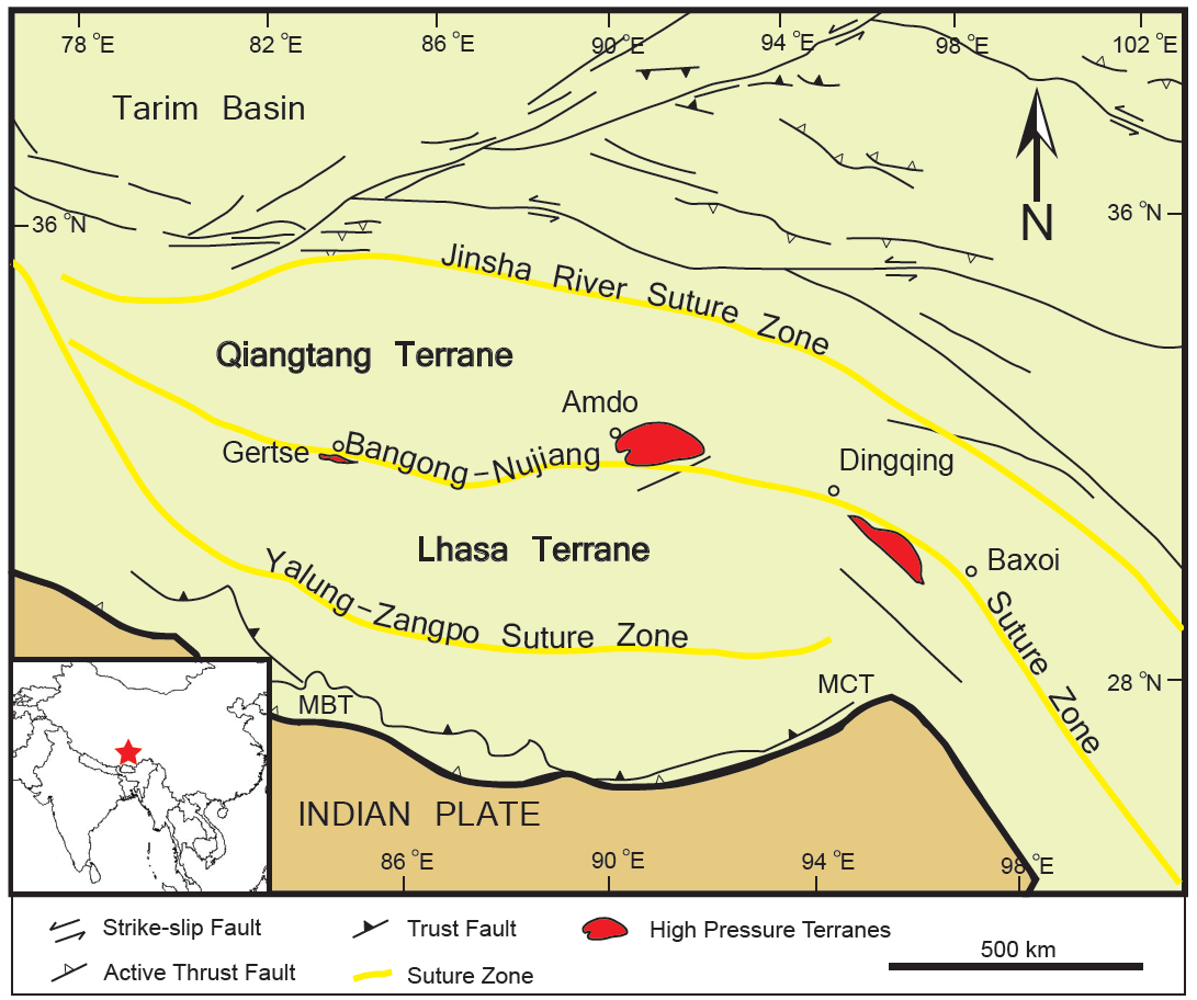
( Changtang )The Changtang (alternatively spelled Changthang or Qangtang) is a part of the high altitude Tibetan Plateau in western and northern Tibet extending into the southern edges of Xinjiang as well as southeastern Ladakh, India, with vast highlands and giant lakes. From eastern Ladakh, the Changtang stretches approximately 1,600 kilometres (990 mi) east into Tibet as far as modern Qinghai. The Changtang is home to the Changpa, a nomadic Tibetan people. The two largest settlements within the Tibetan Changtang are Rutog Town, which is the seat of Rutog County, and Domar Township, the seat of Shuanghu County.




Add new comment