Lake Taupō
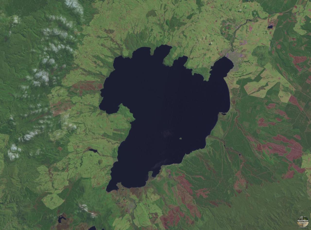
Lake Taupō (also spelled Taupo; Māori: Taupō-nui-a-Tia or Taupōmoana) is a large crater lake in New Zealand's North Island, located in the caldera of Taupō Volcano. The lake is the namesake of the town of Taupō, which sits on a bay in the lake's northeastern shore. With a surface area of 616 km2 (238 sq mi), it is the largest lake by surface area in New Zealand, and the second largest freshwater lake by surface area in geopolitical Oceania after Lake Murray in Papua New Guinea. Motutaiko Island lies in the southeastern area of the lake.
Photographies by:
QFSE Media - CC BY-SA 3.0 nz
Zones


Statistics: Position
1698
Statistics: Rank
158255


![[node:title]](/sites/default/files/styles/640x320/public/default_images/default_0.JPG.webp?itok=aqV9zhFR)


Add new comment