喀喇昆仑山脉
( Karakoram )
The Karakoram () is a mountain range in the Kashmir region spanning the border of Pakistan, China, and India, with the northwestern extremity of the range extending to Afghanistan and Tajikistan. Most of the Karakoram mountain range is within Pakistan's Gilgit-Baltistan region, the northern subdivision of Kashmir.
Karakoram's highest and the world's second-highest peak, K2, is located in Gilgit-Baltistan. The mountain range begins in the Wakhan Corridor in Afghanistan in the west, encompasses the majority of Gilgit-Baltistan, controlled by Pakistan and then extends into Ladakh, controlled by India and Aksai Chin, controlled by China. It is part of the larger Trans-Himalayan mountain ranges.
The Karakoram is the second-highest mountain range on Earth and part of a complex of ranges that includes the Pamir Mountains, Hindu Kush, and the Indian Himalayas.
The range contains 18 summits higher than 7,500 m (24,600 ft...Read more
The Karakoram () is a mountain range in the Kashmir region spanning the border of Pakistan, China, and India, with the northwestern extremity of the range extending to Afghanistan and Tajikistan. Most of the Karakoram mountain range is within Pakistan's Gilgit-Baltistan region, the northern subdivision of Kashmir.
Karakoram's highest and the world's second-highest peak, K2, is located in Gilgit-Baltistan. The mountain range begins in the Wakhan Corridor in Afghanistan in the west, encompasses the majority of Gilgit-Baltistan, controlled by Pakistan and then extends into Ladakh, controlled by India and Aksai Chin, controlled by China. It is part of the larger Trans-Himalayan mountain ranges.
The Karakoram is the second-highest mountain range on Earth and part of a complex of ranges that includes the Pamir Mountains, Hindu Kush, and the Indian Himalayas.
The range contains 18 summits higher than 7,500 m (24,600 ft) in elevation, with four above 8,000 m (26,000 ft): K2 (8,611 m (28,251 ft) AMSL) (the second-highest peak on Earth), Gasherbrum I, Broad Peak, and Gasherbrum II.
The range is about 500 km (311 mi) in length and is the most glaciated place on Earth outside the polar regions. The Siachen Glacier (76 km (47 mi) long) and Biafo Glacier (63 km (39 mi) long) are the second- and third-longest glaciers outside the polar regions.
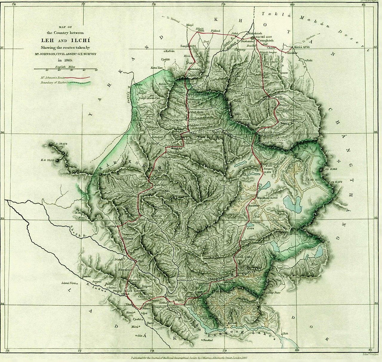
The Karakoram is bounded on the east by the Aksai Chin plateau, on the northeast by the edge of the Tibetan Plateau and on the north by the river valleys of the Yarkand and Karakash rivers beyond which lie the Kunlun Mountains. At the northwest corner are the Pamir Mountains. The southern boundary of the Karakoram is formed, west to east, by the Gilgit, Indus and Shyok rivers, which separate the range from the northwestern end of the Himalaya range proper. These rivers flow northwest before making an abrupt turn southwestward towards the plains of Pakistan. Roughly in the middle of the Karakoram range is the Karakoram Pass, which was part of a historic trade route between Ladakh and Yarkand that is now inactive.
The Tashkurghan National Nature Reserve and the Pamir Wetlands National Nature Reserve in the Karalorun and Pamir mountains have been nominated for inclusion in UNESCO in 2010 by the National Commission of the People's Republic of China for UNESCO and have been tentatively added to the list.


Add new comment