Kakadu National Park
Kakadu National Park is a protected area in the Northern Territory of Australia, 171 km (106 mi) southeast of Darwin. It is a World Heritage Site. Kakadu is also gazetted as a locality, covering the same area as the national park, with 313 people recorded living there in the 2016 Australian census.
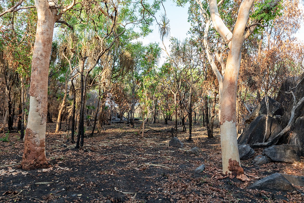
Kakadu National Park is located within the Alligator Rivers Region of the Northern Territory, covering an area of 19,804 km2 (7,646 sq mi), extending nearly 200 kilometres (124 mi) from north to south and over 100 kilometres (62 mi) from east to west. It is roughly the size of Wales or one-third the size of Tasmania, and is the second-largest national park in Australia, after the Munga-Thirri–Simpson Desert National Park. Most of the region is owned by the Aboriginal traditional owners, who have occupied the land for around 60,000 years and, today, manage the park jointly with Parks Australia. It is highly ecologically and bi...Read more
Kakadu National Park is a protected area in the Northern Territory of Australia, 171 km (106 mi) southeast of Darwin. It is a World Heritage Site. Kakadu is also gazetted as a locality, covering the same area as the national park, with 313 people recorded living there in the 2016 Australian census.
Kakadu National Park is located within the Alligator Rivers Region of the Northern Territory, covering an area of 19,804 km2 (7,646 sq mi), extending nearly 200 kilometres (124 mi) from north to south and over 100 kilometres (62 mi) from east to west. It is roughly the size of Wales or one-third the size of Tasmania, and is the second-largest national park in Australia, after the Munga-Thirri–Simpson Desert National Park. Most of the region is owned by the Aboriginal traditional owners, who have occupied the land for around 60,000 years and, today, manage the park jointly with Parks Australia. It is highly ecologically and biologically diverse, hosting a wide range of habitats and flora and fauna. It also includes a rich heritage of Aboriginal rock art, including highly significant sites, such as Ubirr. Kakadu is fully protected by the EPBC Act.
The Ranger Uranium Mine site, one of the most productive uranium mines in the world until it ceased operations in January 2021, is surrounded by the park.
Domestic Asian water buffalo, which are now an established feral population and invasive environmental pests, were released into the area in the late 19th century. Feral pigs, cats, red foxes and rabbits are further examples of invasive species, all of which compete with and wreak havoc upon the sensitive, unique ecosystems of the Northern Territory, and of the whole of Australia. These species were intentionally brought to the continent by the early settlers, pastoralists, and missionaries. The European presence, albeit less than in more populated regions (on the east and west coasts), was still felt. In Kakadu, missionaries established a mission at Oenpelli (present-day Gunbalanya) in 1925. A few pastoralists, crocodile-hunters and wood cutters also made a living in the area at various times up until the early 20th century. The area was progressively given protected status from the 1970s onward.


Add new comment