Highway 1 (Australia)
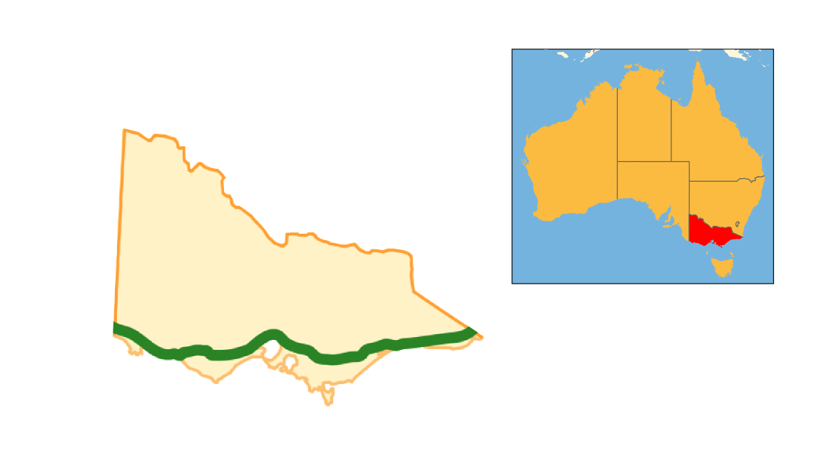
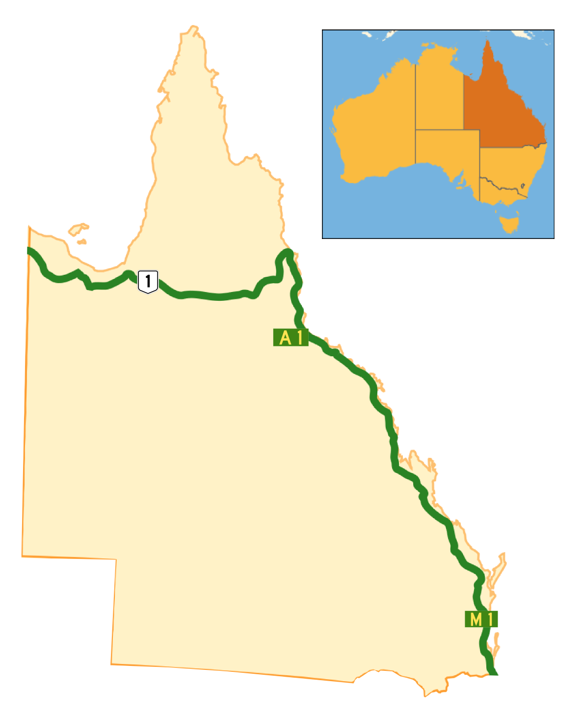
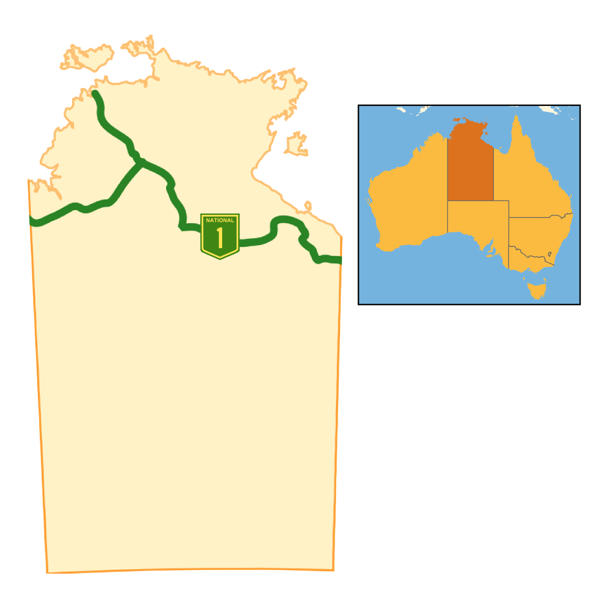
Australia's Highway 1 is a network of highways that circumnavigate the country, joining all mainland capital cities except the national capital of Canberra. At a total length of approximately 14,500 km (9,000 mi) it is the longest national highway in the world, surpassing the Trans-Siberian Highway (over 11,000 km or 6,800 mi) and the Trans-Canada Highway (8,030 km or 4,990 mi). Over a million people traverse some part of the highway network every day. It is the longest continuing highway in the world as the Pan-American Highway is separated by the Darién Gap and AH1 is separated by the Sea of Japan. However it is not the longest continuous stretch of highway as both the northern section of the Pan-American Highway and the continental section of AH1 still out-measure it.


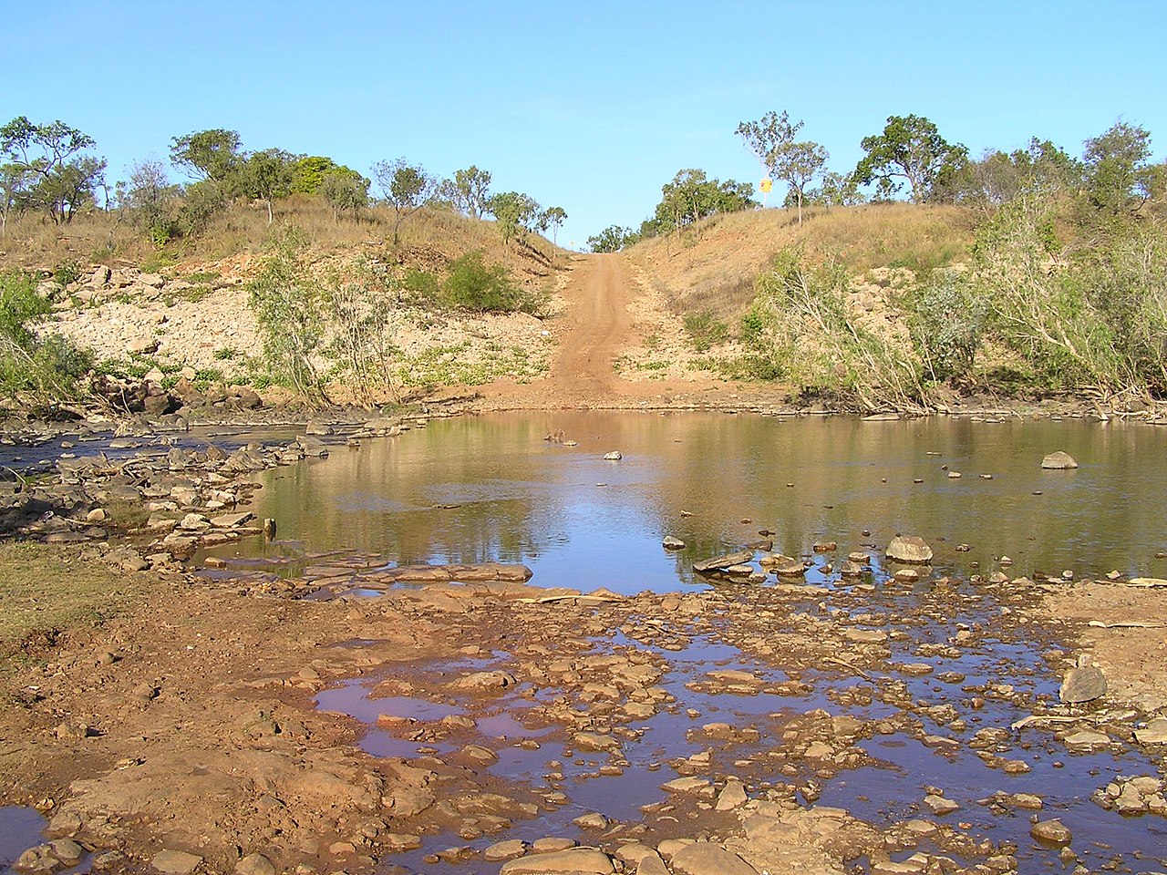
![[node:title]](/sites/default/files/styles/640x320/public/default_images/default_0.JPG.webp?itok=aqV9zhFR)


. - CC BY-SA 3.0")
Add new comment