제주도
( Jeju Island )
Jeju Island (Jeju/Korean: 제주도; RR: Jejudo; [tɕeːdʑudo]) is South Korea's largest island, covering an area of 1,833.2 km2 (707.8 sq mi), which is 1.83% of the total area of the country. Alongside outlying islands, it is part of Jeju Province and makes up the majority of the province.
The island lies in the Korea Strait, 82.8 km (51.4 mi) south of the nearest point on the Korean Peninsula. The Jeju people are indigenous to the island, and it has been populated by modern humans since the early Neolithic period. The Jeju language is considered critically endangered by UNESCO. It is also one of the regions of Korea where Shamanism is most intact.
Jeju Island has an oval shape and is 73 km (45 mi) east–west and 31 km (19 mi) north–south, wi...Read more
Jeju Island (Jeju/Korean: 제주도; RR: Jejudo; [tɕeːdʑudo]) is South Korea's largest island, covering an area of 1,833.2 km2 (707.8 sq mi), which is 1.83% of the total area of the country. Alongside outlying islands, it is part of Jeju Province and makes up the majority of the province.
The island lies in the Korea Strait, 82.8 km (51.4 mi) south of the nearest point on the Korean Peninsula. The Jeju people are indigenous to the island, and it has been populated by modern humans since the early Neolithic period. The Jeju language is considered critically endangered by UNESCO. It is also one of the regions of Korea where Shamanism is most intact.
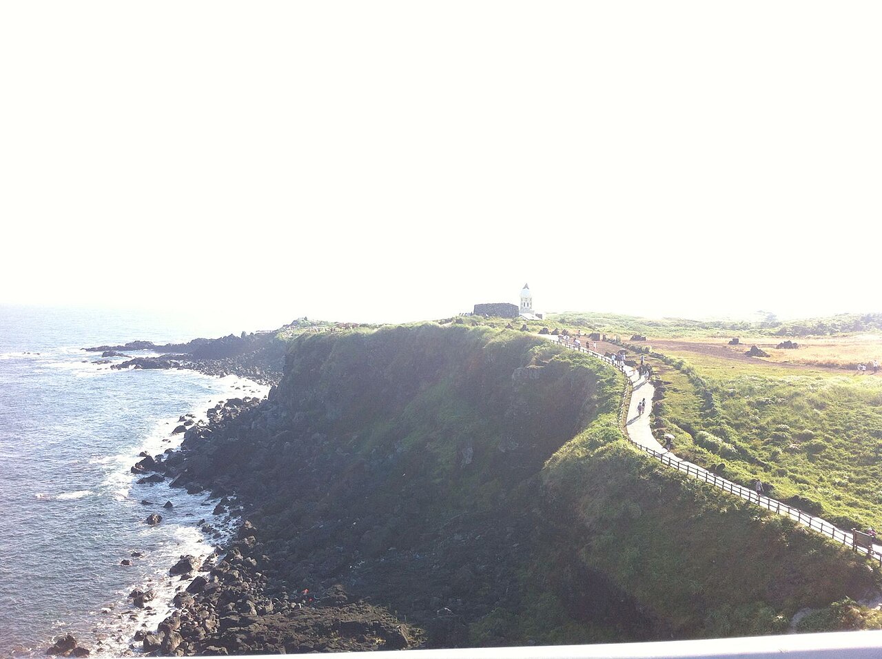
Jeju Island has an oval shape and is 73 km (45 mi) east–west and 31 km (19 mi) north–south, with a gentle slope around Hallasan in the center. The length of the main road is 181 km (112 mi) and the coastline is 258 km (160 mi). On the northern end of Jeju Island is Gimnyeong Beach, on the southern end Songak Mountain, the western end Suwol Peak, and the eastern end Seongsan Ilchulbong.
The island was formed by the eruption of a submarine volcano approximately 2 million years ago. It contains a natural World Heritage Site, the Jeju Volcanic Island and Lava Tubes. Jeju Island has a subtropical climate; even in winter, the temperature rarely falls below 0 °C (32 °F). Jeju is a popular holiday destination and a sizable portion of the economy relies on tourism and related economic activity.


![[node:title]](/sites/default/files/styles/640x320/public/default_images/default_0.JPG.webp?itok=aqV9zhFR)


Add new comment