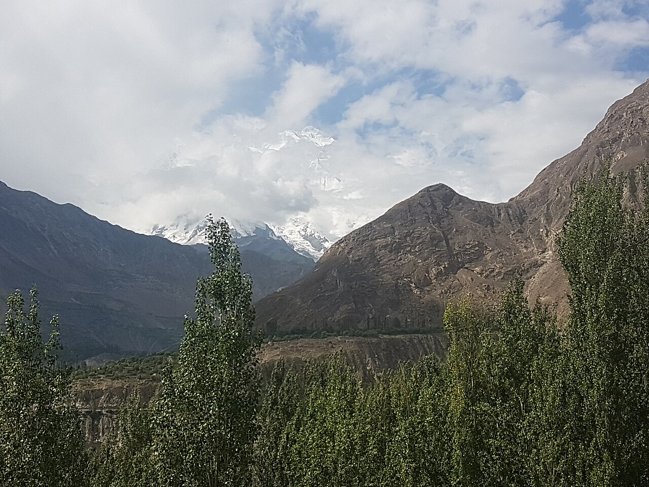
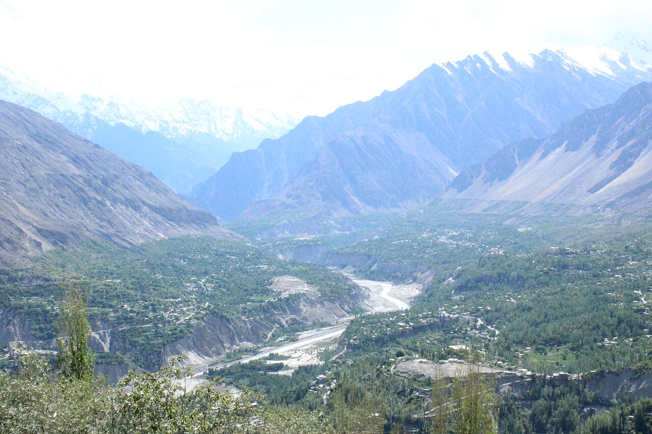
Hunza Valley

The Hunza Valley (Burushaski: ہُنزا دِش, romanized: Hunza Dish; Wakhi/Urdu: وادی ہنزہ) is a mountainous valley in the northern part of the Gilgit-Baltistan region of Pakistan.

 Baltit Fort, the former residence of the Mirs of Hunza

Buddhism and, to a lesser extent, Bön were the primary religions in the area. The region holds several surviving Buddhist archaeological sites, such as the Sacred Rock of Hunza. Hunza Valley was central in the network of trading routes connecting Central Asia to the subcontinent. It also provided protection to Buddhist missionaries and monks visiting the subcontinent, and the region played a significant role in the transmission of Buddhism throughout Asia.[1]

Before the arrival of Islam, the majority of the region practiced Buddhism. Since then, most of the population has converted to Islam.[citation needed] The region has many works of graffiti in the ancient Brahmi script written on rocks, produced by Buddhist monks as a form of worship and culture.[2] With most locals converting to Islam, they had been mainly left ignored, destroyed, or forgotten, but are now being restored.[3]

"Hunza was formerly a princely state bordering Xinjiang (autonomous region of China) to the northeast and Pamir to the northwest, which survived until 1974, when it was finally dissolved by Zulfikar Ali Bhutto. The state bordered the Gilgit Agency to the south and the former princely state of Nagar to the east. The state capital was the town of Baltit (also known as Karimabad); another old settlement is Ganish Village which means 'Baba Ganesh village' (a Buddhist name).[4] Hunza was an independent principality for more than 900 years and then in the early 1800s, Hunza played a vital role in the British "Great Game". In 1891 Hunza was captured by the British Empire, and the ruler of Hunza, Mir Safdar Ali Khan, fled to Kashgar, China, and the British army installed his brother Mir Nazim Khan (1892-1938) as a puppet ruler of Hunza Valley, but all orders were passed by British officers who were appointed in the capital Gilgit."[5]

Mir/Tham  Attabad Lake in August 2020.

According to an account written by John Biddulph in his book Tribes of the Hindoo Koosh:

The ruling family of Hunza is called Ayesha "aya-sha" (heavenly). The two states of Hunza and Nagar were formerly one, ruled by a branch of the Shahreis, the ruling family of Gilgit, whose seat of government was Nagar. First [M]uslim came to Hunza-Nagar Valley some 1000 years (At the time of Imam Islām Shāh 30th Imam Ismaili Muslims). After the introduction of Islam to Gilgit, married a daughter of Trakhan of Gilgit, who bore him twin sons, named Moghlot and Girkis. From the former, the present ruling family of Nager is descended. The twins are said to have shown hostility to one another from birth. Thereupon their father, unable to settle the question of succession, divided his state between them, giving Girkis the north/west, and to Moghlot the south/east bank of the river.[6]

2010 landslide

On 4 January 2010, a landslide blocked the river and created Attabad Lake (also called Shishket Lake), resulting in 20 deaths and 8 injuries and effectively blocked about 26 kilometres (16 mi) of the Karakoram Highway.[7][8][9][10] The new lake extends 30 kilometres (19 mi) and rose to a depth of 400 feet (120 m) when it was formed as the Hunza River backed up.[11] The landslide completely covered sections of the Karakoram Highway.[8][11]

^ Behrendt, Kurt (2003). The Buddhist Architecture of Gandhāra. BRILL. p. 25. ISBN 978-90-474-1257-1. ^ Susan E. Alcock; John Bodel; Richard J. A. Talbert (15 May 2012). Highways, Byways, and Road Systems in the Pre-Modern World. John Wiley & Sons. pp. 21–. ISBN 978-0-470-67425-3. ^ Zara Khan, Vandalized Buddhist inscriptions in Gilgit-Baltistan are now being restored, Mashable Pakistan, 28 May 2020. ^ History of Hunza, archived from the original on 22 December 2021, retrieved 2 October 2021 ^ Valley, Hunza. "Hunza Valley". skardu.pk. Archived from the original on 11 November 2016. Retrieved 23 November 2016. ^ Tribes of the Hindoo Koosh by John Biddulph page 26 ^ Waheed, Abdul (4 January 2013). "The Attabad Landslide Disaster". Pamir Times. Archived from the original on 12 October 2019. Retrieved 12 October 2019. ^ a b Ahmed, Kamran (23 May 2010). "Pakistan: The water bomb". ReliefWeb. Dawn. Retrieved 27 August 2022. ^ "Annual Report 2011". Yumpu. National Disaster Management Authority, Government of Pakistan. pp. 40–41. Retrieved 27 August 2022. ^ "SHISHKET LAKE CRISES – 2010 – CHRONOLOGY OF EVENTS" (PDF). ndma.gov.pk. NDMA. 27 July 2010. Retrieved 12 October 2019.[dead link] ^ a b Michael Bopp; Judie Bopp (May 2013). "Needed: a second green revolution in Hunza" (PDF). HiMaT. p. 4. Archived (PDF) from the original on 27 November 2015. Retrieved 26 November 2015. Karakorum Area Development Organization (KADO), Aliabad
Photographies by:
Statistics: Position
1794
Statistics: Rank
69428

Add new comment

Esta pregunta es para comprobar si usted es un visitante humano y prevenir envíos de spam automatizado.

Security
956187324Click/tap this sequence: 1659

Google street view

Where can you sleep near Hunza Valley ?

Booking.com
489.833 visits in total, 9.196 Points of interest, 404 Destinations, 1 visits today.