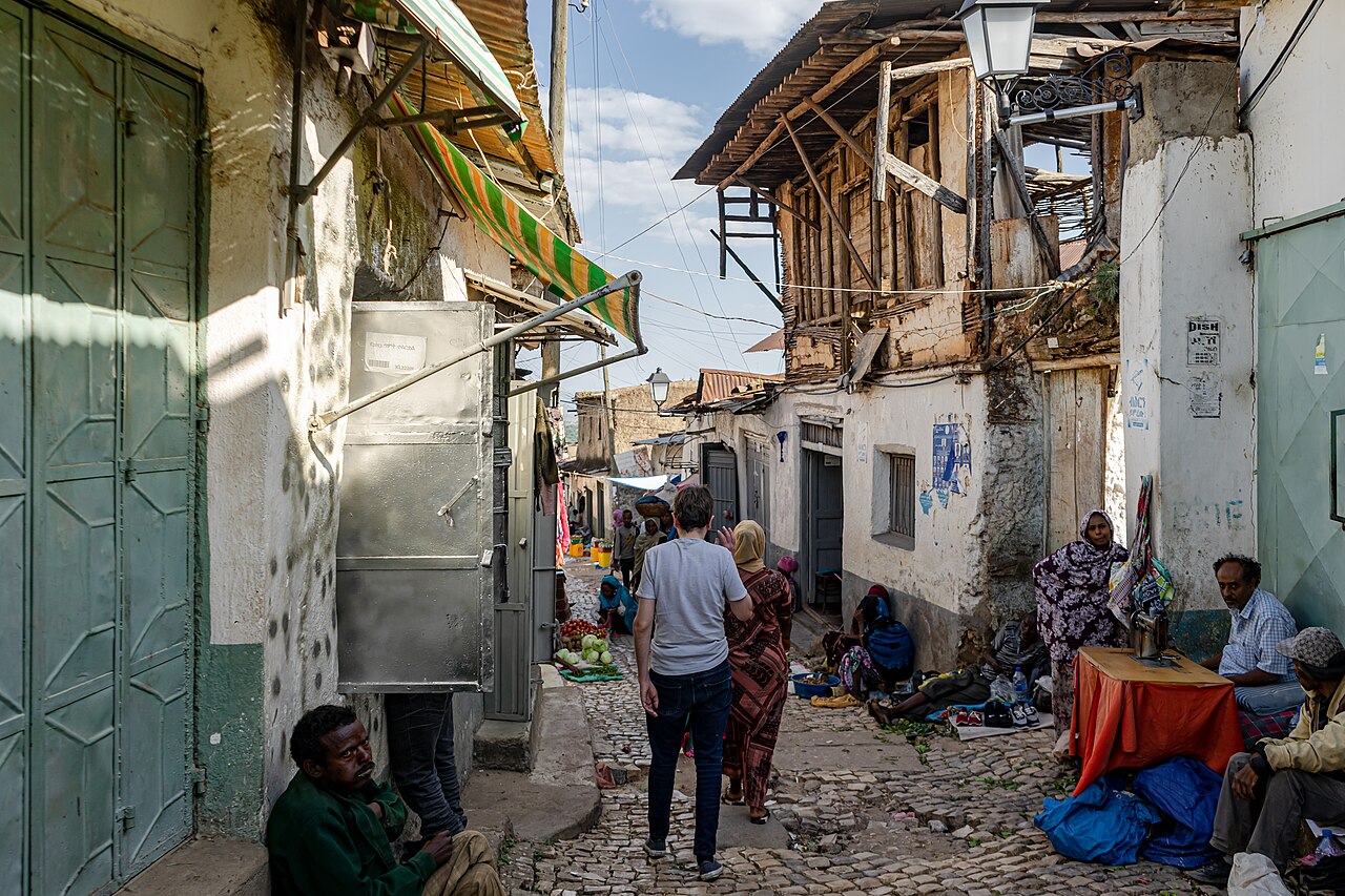
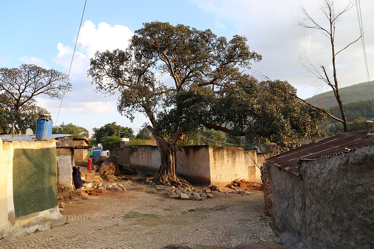
Harar (Amharic: ሐረር; Harari: ሀረር / هَرَرْ; Oromo: Adare Biyyo; Somali: Herer; Arabic: هرر), known historically by the indigenous as Harar-Gey or simply Gey (Harari: ጌይ, ݘٛىيْ, Gēy, lit. 'the city'), is a walled city in eastern Ethiopia. It is also known in Arabic as the City of Saints (Arabic: مدينة الأولياء, romanized: Madīna al-ʾAwliyāʾ).
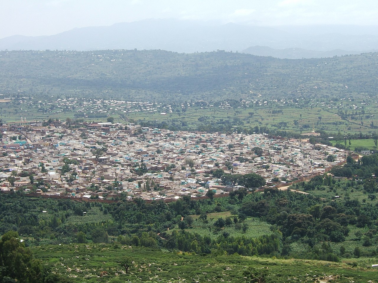
Harar is the capital city of the Harari Region. The ancient city is located on a hilltop in the eastern part of the country and is about 500 kilometres (310 mi) from the Ethiopian capital Addis Ababa at an elevation of 1,885 metres...Read more
Harar (Amharic: ሐረር; Harari: ሀረር / هَرَرْ; Oromo: Adare Biyyo; Somali: Herer; Arabic: هرر), known historically by the indigenous as Harar-Gey or simply Gey (Harari: ጌይ, ݘٛىيْ, Gēy, lit. 'the city'), is a walled city in eastern Ethiopia. It is also known in Arabic as the City of Saints (Arabic: مدينة الأولياء, romanized: Madīna al-ʾAwliyāʾ).
Harar is the capital city of the Harari Region. The ancient city is located on a hilltop in the eastern part of the country and is about 500 kilometres (310 mi) from the Ethiopian capital Addis Ababa at an elevation of 1,885 metres (6,184 ft).
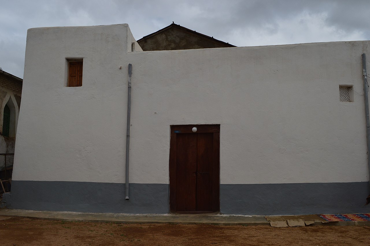
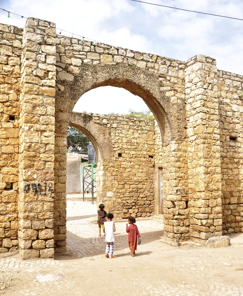
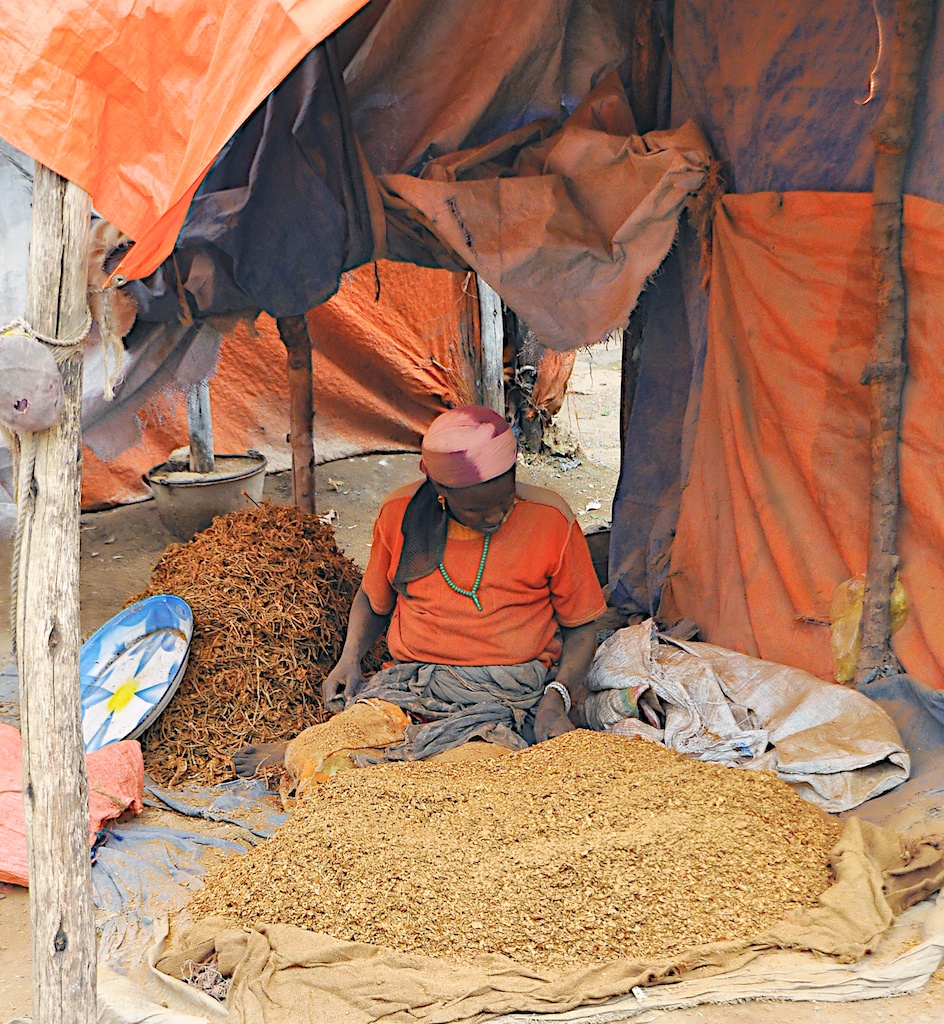
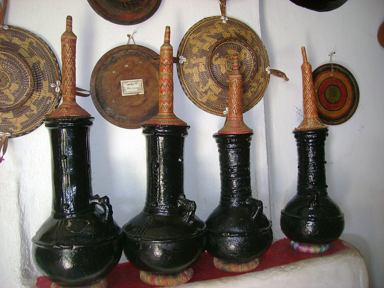
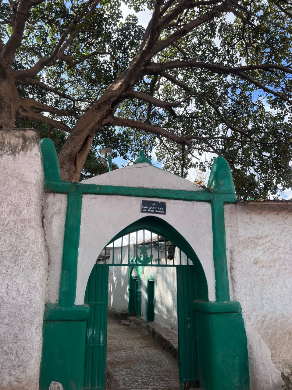
For centuries, Harar has been a major commercial center, linked by the trade routes with the rest of Ethiopia, the entire Horn of Africa, the Arabian Peninsula, Asia, and through its ports, the outside world. Harar Jugol, the old walled city, was listed as a World Heritage Site in 2006 by UNESCO in recognition of its cultural heritage. Because of Harar's long history of involvement during times of trade in the Arabian Peninsula, the Government of Ethiopia has made it a criminal offence to demolish or interfere with any historical sites or fixtures in the city. These include stone homes, museums and items discarded from war. According to UNESCO, it is "considered 'the fourth holiest city' of Islam" with 82 mosques, three of which date from the 10th century, and 102 shrines.
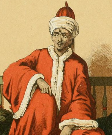
Yahyá Naṣrallāh's Fatḥ Madīnat Harar, an unpublished history of the city in the 13th century, records that the legendary saint Abadir Umar ar-Rida and several other religious leaders settled in the Harar plateau c. 1216 (612 AH). Harar was later made the new capital of the Adal Sultanate in 1520 by the Sultan Abu Bakr ibn Muhammad. The city saw a political decline during the ensuing Emirate of Harar, only regaining some significance in the Khedivate of Egypt period. During the Ethiopian Empire, the city decayed while maintaining a certain cultural prestige.


Add new comment