Great Smoky Mountains National Park
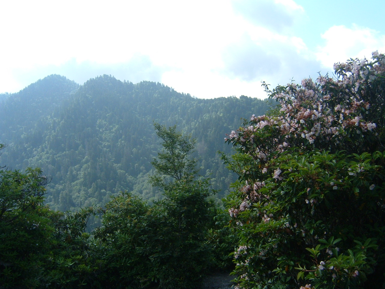
Great Smoky Mountains National Park is a national park of the United States in the southeast, with parts in North Carolina and Tennessee. The park straddles the ridgeline of the Great Smoky Mountains, part of the Blue Ridge Mountains, which are a division of the larger Appalachian Mountain chain. The park contains some of the highest mountains in eastern North America, including Kuwohi, Mount Guyot, and Mount Le Conte. The border between the two states runs northeast to southwest through the center of the park. The Appalachian Trail passes through the center of the park on its route from Georgia to Maine. With 13 million visitors in 2023, the Great Smoky Mountains National Park is the most visited national park in the United States.
The park encompasses 522,419 acres (816.28 sq mi; 211,415.47 ha; 2,114.15 km2), making it one of the largest protected areas in the eastern United States. The main park entrances are located along...Read more
Great Smoky Mountains National Park is a national park of the United States in the southeast, with parts in North Carolina and Tennessee. The park straddles the ridgeline of the Great Smoky Mountains, part of the Blue Ridge Mountains, which are a division of the larger Appalachian Mountain chain. The park contains some of the highest mountains in eastern North America, including Kuwohi, Mount Guyot, and Mount Le Conte. The border between the two states runs northeast to southwest through the center of the park. The Appalachian Trail passes through the center of the park on its route from Georgia to Maine. With 13 million visitors in 2023, the Great Smoky Mountains National Park is the most visited national park in the United States.
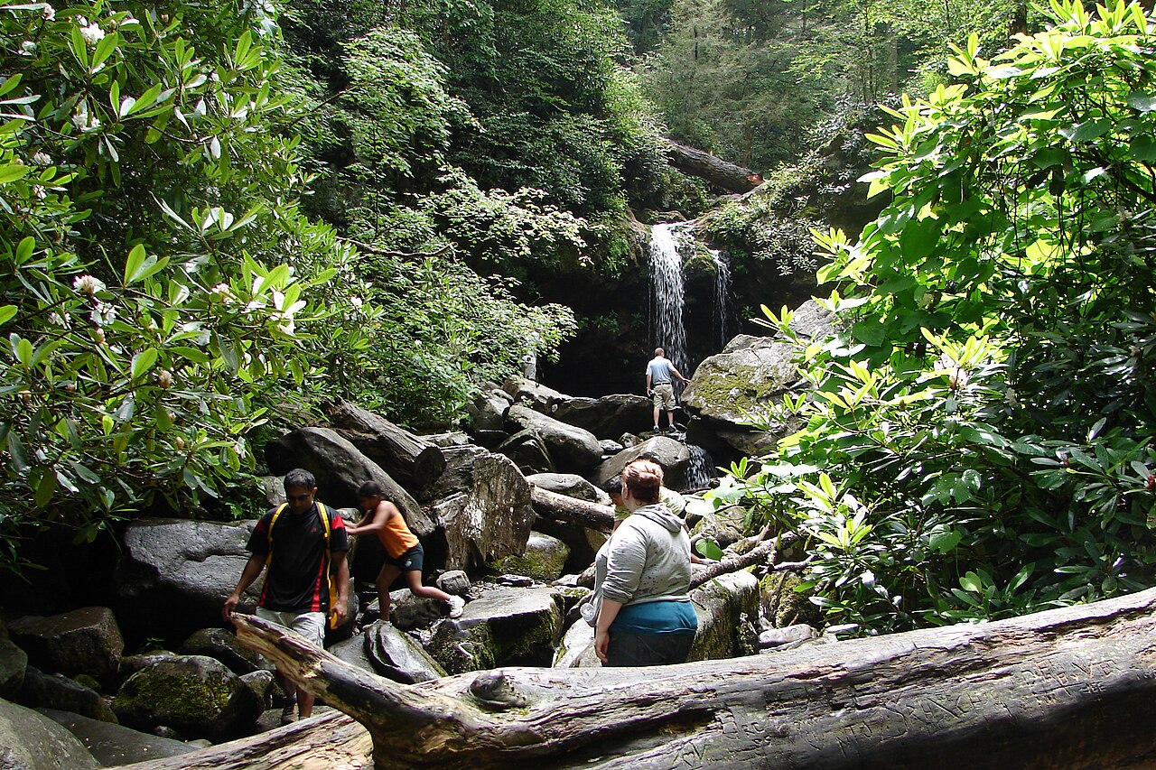
The park encompasses 522,419 acres (816.28 sq mi; 211,415.47 ha; 2,114.15 km2), making it one of the largest protected areas in the eastern United States. The main park entrances are located along U.S. Highway 441 (Newfound Gap Road) in Gatlinburg, Tennessee, and Cherokee, North Carolina, and also in Townsend, Tennessee. The park is internationally recognized for its mountains, waterfalls, biodiversity, and forests. In addition, the park preserves multiple historical structures that were part of communities occupied by early European-American settlers of the area.
The park was chartered by the United States Congress in 1934 and officially dedicated by President Franklin D. Roosevelt in 1940. The Great Smoky Mountains was the first national park having land and other costs paid in part with federal funds; previous parks were funded wholly with state money or private funds. The park was designated as a UNESCO World Heritage Site in 1983 and an International Biosphere Reserve in 1988.
The park anchors a large tourism industry based in Sevier County, Tennessee, adjacent to the park. Major attractions include Dollywood, the second-most visited tourist attraction in Tennessee, Ober Gatlinburg, and Ripley's Aquarium of the Smokies. Tourism to the park contributes an estimated $2.5 billion annually into the local economy.


![[node:title]](/sites/default/files/styles/640x320/public/default_images/default_0.JPG.webp?itok=aqV9zhFR)


Add new comment