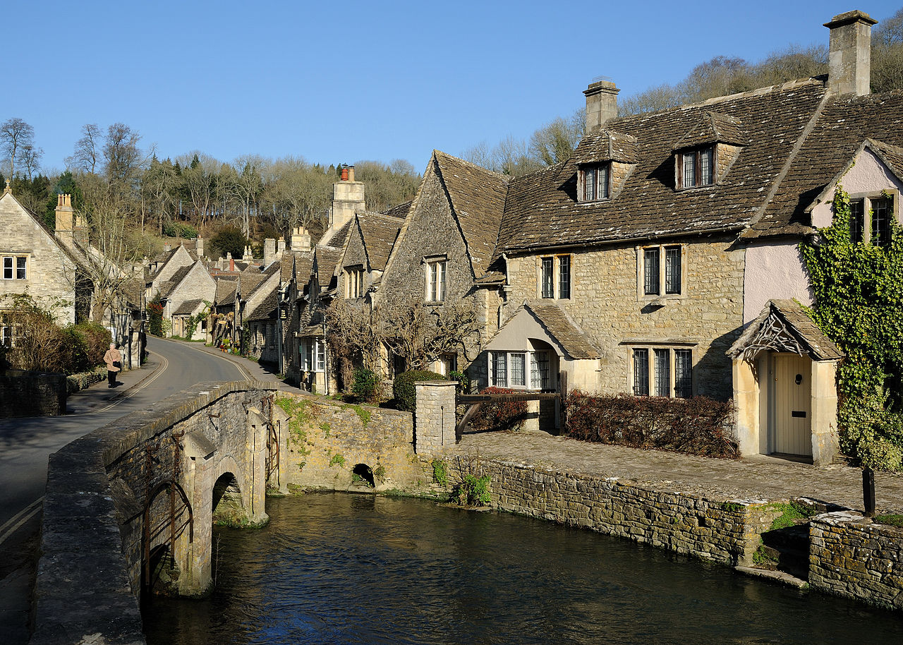
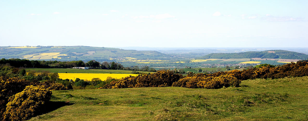
Cotswolds
The Cotswolds ( KOTS-wohldz, KOTS-wəldz) is a region of central South West England, along a range of rolling hills that rise from the meadows of the upper River Thames to an escarpment above the Severn Valley and the Vale of Evesham. The area is defined by the bedrock of Jurassic limestone that creates a type of grassland habitat that is quarried for the golden-coloured Cotswold stone. It lies across the boundaries of several English counties: mainly Gloucestershire and Oxfordshire, and parts of Wiltshire, Somerset, Worcestershire, and Warwickshire. The highest point is Cleeve Hill at 1,083 ft (330 m), just east of Cheltenham. The predominantly rural landscape contains stone-built villages, towns, stately homes and gardens featuring the local stone.
A large area within the Cotswolds has been designated as a National Landscape (formerly known as Area of...Read more
The Cotswolds ( KOTS-wohldz, KOTS-wəldz) is a region of central South West England, along a range of rolling hills that rise from the meadows of the upper River Thames to an escarpment above the Severn Valley and the Vale of Evesham. The area is defined by the bedrock of Jurassic limestone that creates a type of grassland habitat that is quarried for the golden-coloured Cotswold stone. It lies across the boundaries of several English counties: mainly Gloucestershire and Oxfordshire, and parts of Wiltshire, Somerset, Worcestershire, and Warwickshire. The highest point is Cleeve Hill at 1,083 ft (330 m), just east of Cheltenham. The predominantly rural landscape contains stone-built villages, towns, stately homes and gardens featuring the local stone.
A large area within the Cotswolds has been designated as a National Landscape (formerly known as Area of Outstanding Natural Beauty, or AONB) since 1966. The designation covers 787 square miles (2,038 km2), with boundaries roughly 25 miles (40 km) across and 90 miles (140 km) long, stretching south-west from just south of Stratford-upon-Avon to just south of Bath, making it the largest National Landscape area and England's third-largest protected landscape.
The Cotswold local government district is within Gloucestershire. Its main town is Cirencester. In 2021, the population of the 450-square-mile (1,200 km2) district was 91,000. The much larger area referred to as the Cotswolds encompasses nearly 800 square miles (2,100 km2). The population of the National Landscape area was 139,000 in 2016.


 - CC BY-SA 3.0")


. - Public domain")


Add new comment