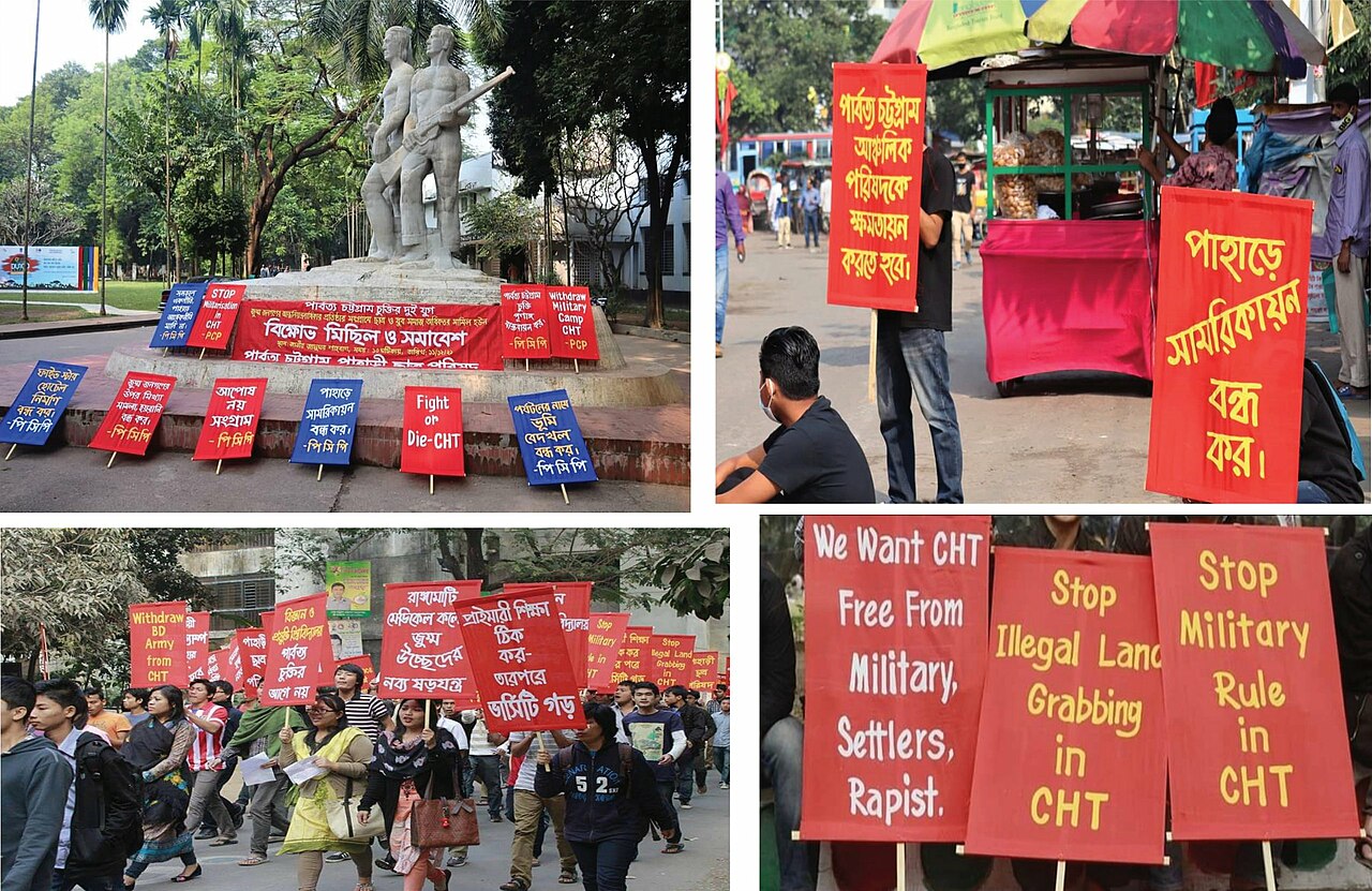
Chittagong Hill Tracts
The Chittagong Hill Tracts (Bengali: পার্বত্য চট্টগ্রাম, romanized: Pārbôṭṭô Chôṭṭôgrām), often shortened to simply the Hill Tracts and abbreviated to CHT, refers to the three hilly districts within the Chittagong Division in southeastern Bangladesh, bordering India and Myanmar (Burma) in the east: Khagrachhari, Rangamati, and Bandarban. Covering 13,295 square kilometres (5,133 sq mi), CHT is an extensively hilly area and home to a variety of tribal peoples in Bangladesh. The CHT were divided by the British in the 19th century into three tribal chieftaincies, the Chakma Circle, the Mong Circle and the Bohmong Circle. They formed a single district until 1984, when they were divided into three separate districts.
Photographies by:
Shakhawat Hossen Shafat - CC BY-SA 4.0
Zones


Statistics: Position
6177
Statistics: Rank
59218


Add new comment