Yonaguni Monument
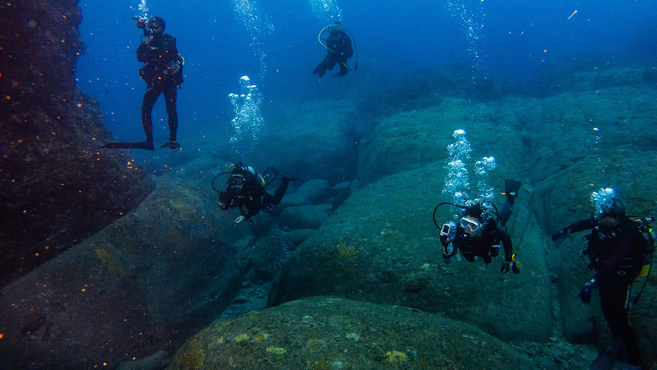
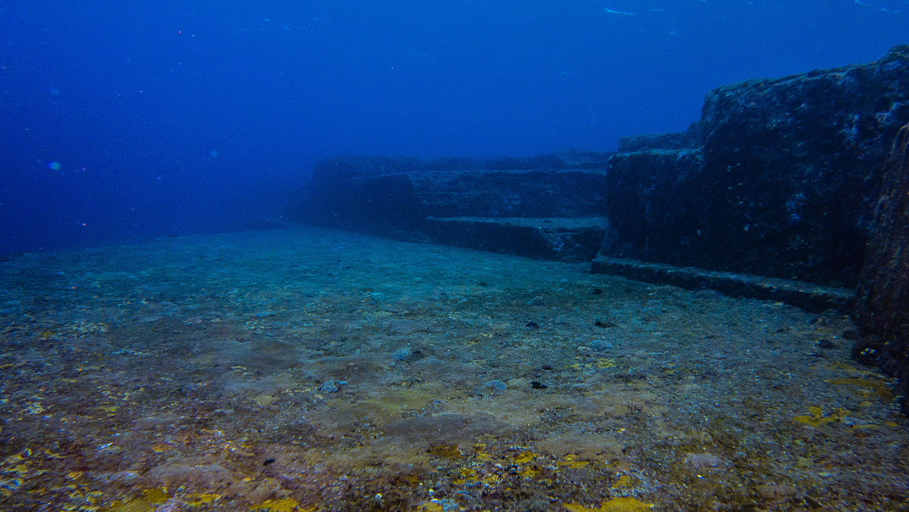
The Yonaguni Monument (Japanese: 与那国島海底地形, Hepburn: Yonaguni-jima Kaitei Chikei, lit. 'Yonaguni Island Submarine Topography'), also known as the Yonaguni (Island) Submarine Ruins (与那国(島)海底遺跡, Yonaguni(-jima) Kaitei Iseki), is a submerged rock formation off the coast of Yonaguni, the southernmost of the Ryukyu Islands, in Japan. It lies approximately 100 kilometres (54 nmi; 62 mi) east of Taiwan.
Marine geologist Masaaki Kimura claims that the formations are man-made stepped monoliths. These claims have been described as pseudoarchaeological. Neither the Japanese Agency for Cultural Affairs n...Read more
The Yonaguni Monument (Japanese: 与那国島海底地形, Hepburn: Yonaguni-jima Kaitei Chikei, lit. 'Yonaguni Island Submarine Topography'), also known as the Yonaguni (Island) Submarine Ruins (与那国(島)海底遺跡, Yonaguni(-jima) Kaitei Iseki), is a submerged rock formation off the coast of Yonaguni, the southernmost of the Ryukyu Islands, in Japan. It lies approximately 100 kilometres (54 nmi; 62 mi) east of Taiwan.
Marine geologist Masaaki Kimura claims that the formations are man-made stepped monoliths. These claims have been described as pseudoarchaeological. Neither the Japanese Agency for Cultural Affairs nor the government of Okinawa Prefecture recognise the features as important cultural artifacts and neither government agency has carried out research or preservation work on the site.


Add new comment