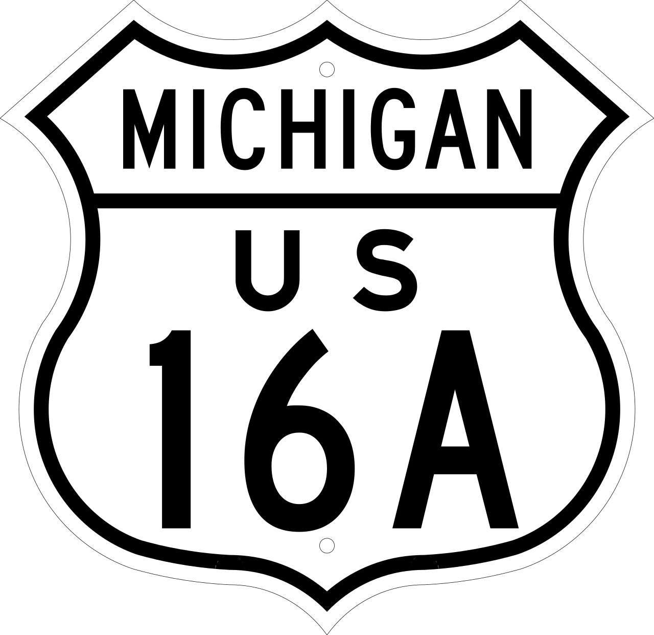
U.S. Route 16A
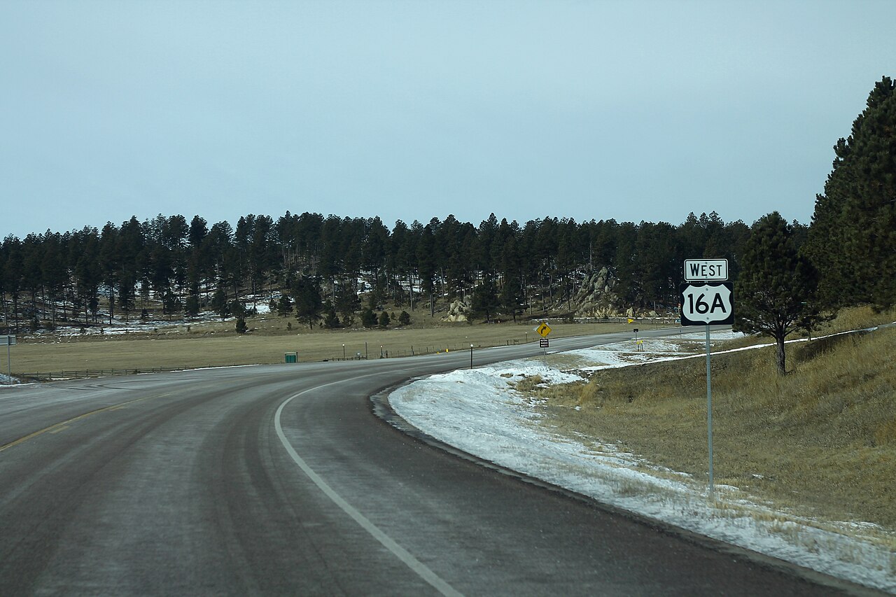
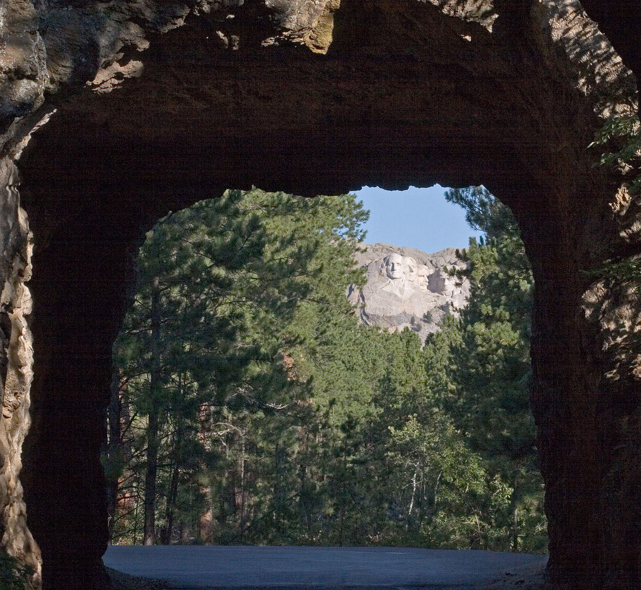
U.S. Highway 16A (US 16A) is a 36.971-mile (59.499 km) scenic United States Numbered Highway. It is an alternate route for US 16. It splits from US 16 in the Black Hills of the southwestern part of the U.S. state of South Dakota. The highway's western terminus is an intersection with US 16, US 385, and South Dakota Highway 89 (SD 89) in Custer. The eastern terminus is at an interchange with US 16 called Keystone Wye south of Rapid City. Portions of US 16A are known as the Iron Mountain Road, named after the peak it summits.
Photographies by:
Kimon Berlin, user:Gribeco - CC BY 2.5


Statistics: Position
4775
Statistics: Rank
75554


![[node:title]](/sites/default/files/styles/640x320/public/default_images/default_0.JPG.webp?itok=aqV9zhFR)


Add new comment