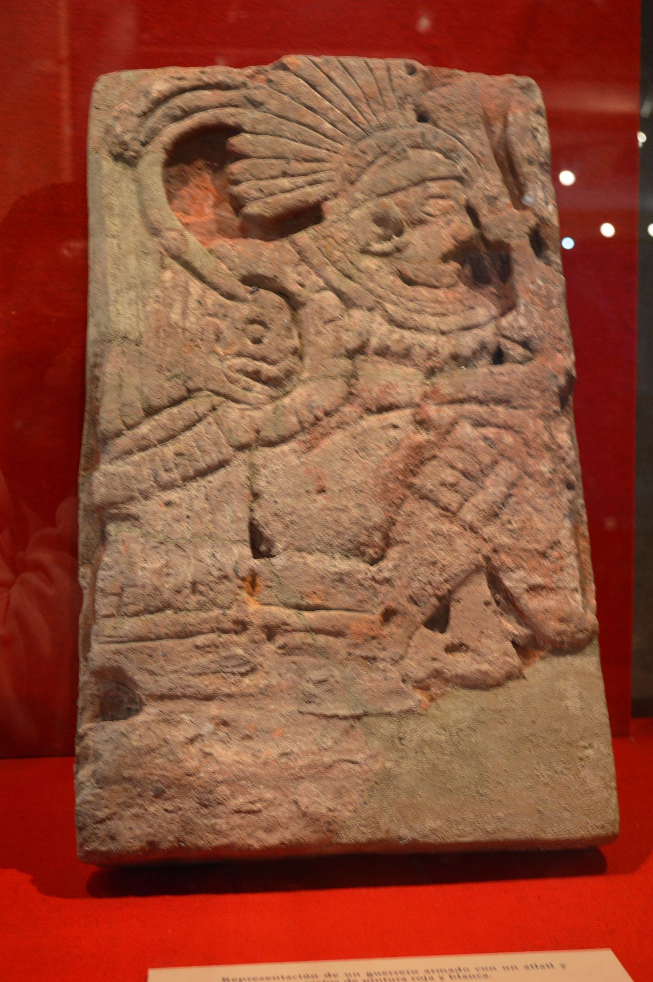
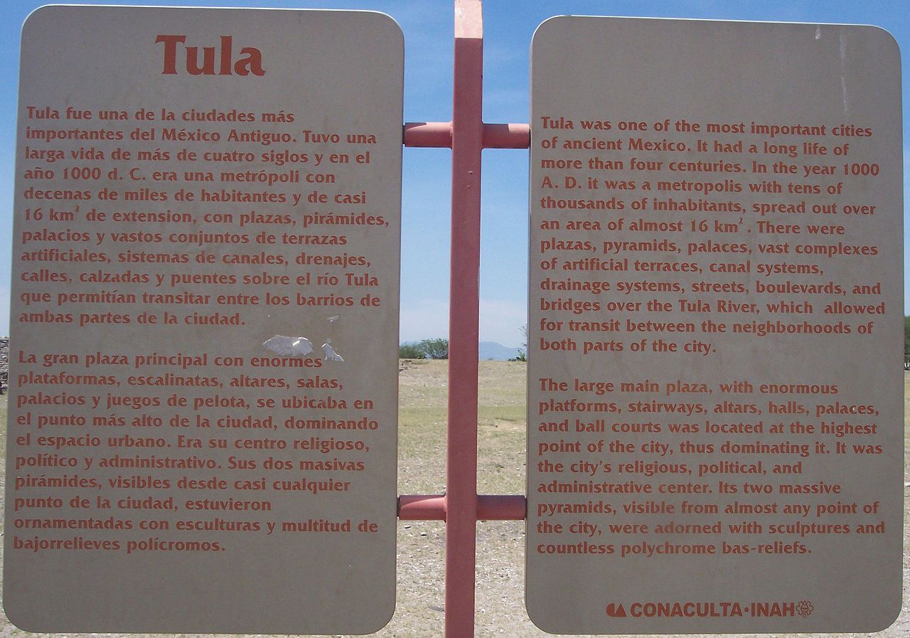
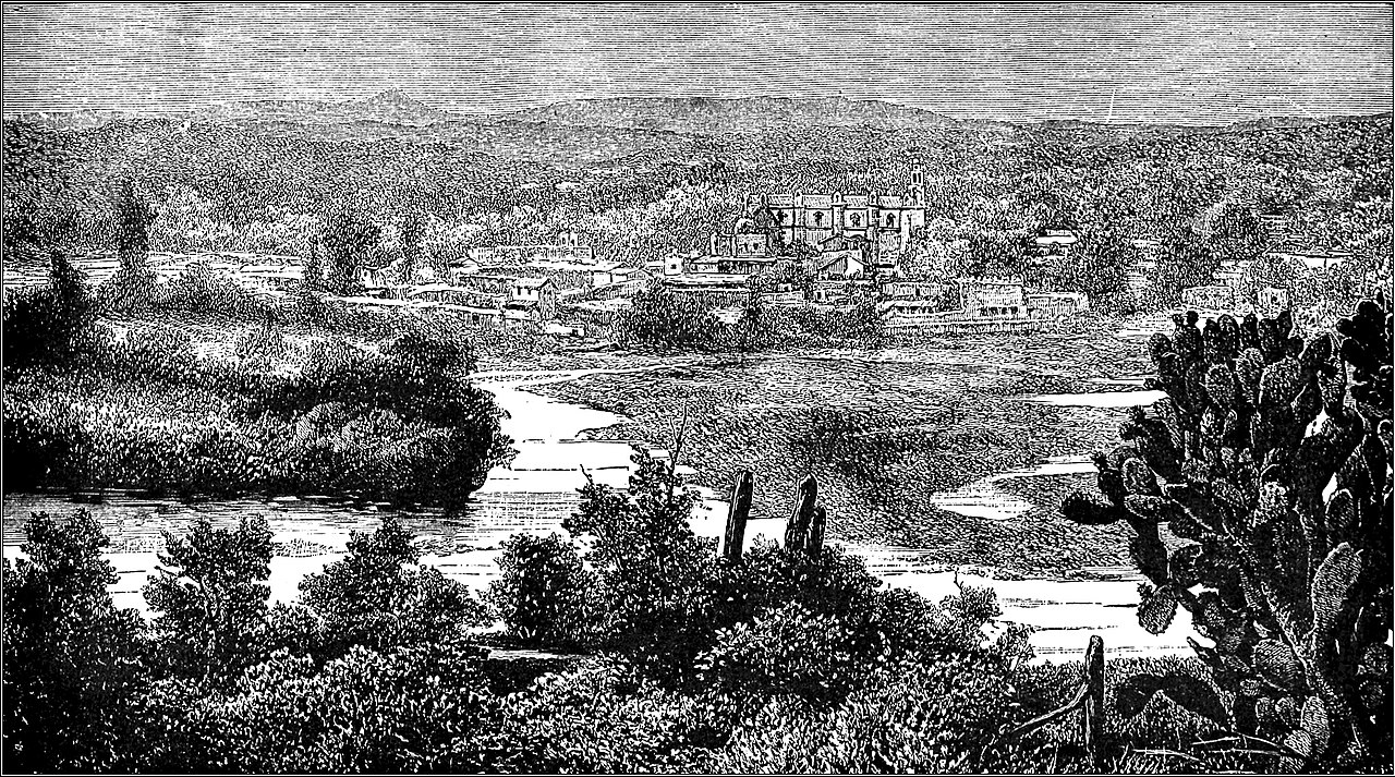
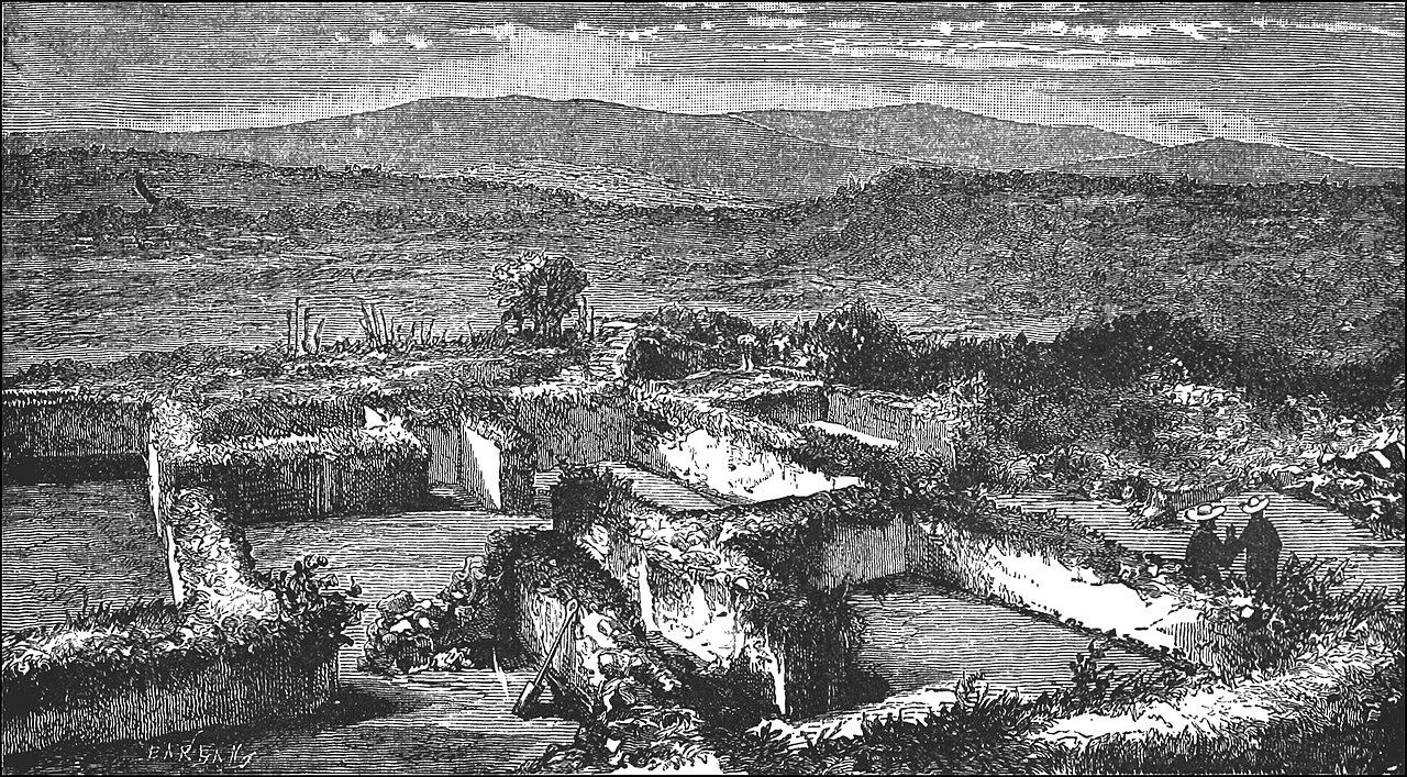
Tollan-Xicocotitlan
( Tula (Mesoamerican site) )


Tula is a Mesoamerican archeological site, which was an important regional center which reached its height as the capital of the Toltec Empire between the fall of Teotihuacan and the rise of Tenochtitlan. It has not been well studied in comparison to these other two sites, and disputes remain as to its political system, area of influence and its relations with contemporary Mesoamerican cities, especially with Chichen Itza. The site is located in the city of Tula de Allende in the Tula Valley, in what is now the southwest of the Mexican state of Hidalgo, northwest of Mexico City. The archeological site consists of a museum, remains of an earlier settlement called Tula Chico as well as the main ceremonial site called Tula Grande. The main attraction is the Pyramid of Quetzalcoatl, which is topped by four 4-metre-high (13 ft) basalt columns carved in the shape of Toltec warriors. Tula fell around 1150, but it had significant influence in the following Aztec...Read more
Tula is a Mesoamerican archeological site, which was an important regional center which reached its height as the capital of the Toltec Empire between the fall of Teotihuacan and the rise of Tenochtitlan. It has not been well studied in comparison to these other two sites, and disputes remain as to its political system, area of influence and its relations with contemporary Mesoamerican cities, especially with Chichen Itza. The site is located in the city of Tula de Allende in the Tula Valley, in what is now the southwest of the Mexican state of Hidalgo, northwest of Mexico City. The archeological site consists of a museum, remains of an earlier settlement called Tula Chico as well as the main ceremonial site called Tula Grande. The main attraction is the Pyramid of Quetzalcoatl, which is topped by four 4-metre-high (13 ft) basalt columns carved in the shape of Toltec warriors. Tula fell around 1150, but it had significant influence in the following Aztec Empire, with its history written about heavily in myth. The feathered serpent god Quetzalcoatl is linked to this city, whose worship was widespread from central Mexico to Central America at the time the Spanish arrived.

The earliest well-defined settlements in the Tula area appear around 400 BCE. Tula was probably settled by people of various ethnic backgrounds which may have included the Nonoalcas and the Chichimecas from the south and north respectively.[1] The area probably was under the political control of Teotihuacan in the Epiclassic period, according to Teotihuacan designs found on Tula pottery. The area's lime deposits were probably an important source for the plaster used in construction.[2] At this time Tula was a small urban settlement with modest public architecture concentrated at Tula Chico (Small Tula). The constructions at Tula Chico are smaller than those in other Epiclassic sites, and was probably a minor player in the political and economic activity of the time.[3] Tula Chico's occupation is from 650 to 900. From 650 to 750, Tula Chico developed, and at its height spanned five to six km2, parts of which may be buried under Tula Grande.[2] The population was somewhere between 19,000 and 27,000 at its height.[4] Tula Chico was abandoned between 850 and 900CE, and Tula Grande began to develop.[2] After the decline of Teotihuacan, there was a power vacuum with city states dominating small regions.[1] Tula ceramics change during this period, as styles and techniques come under new influences. At the same time, settlement patterns of the area significantly changed with occupation mostly on hilltops and high hillsides. Architecture and pottery show influence from the west and north, with some from the east, suggesting a multiethnic population.[2]
The city rose to prominence after the fall of Teotihuacan and reached its height between 900 and 1150.[5] Although Tula Grande (Big Tula) grew to be larger than anything contemporary with it, it never grew to the size of Teotihuacan.[4] The city at its height probably covered 14 km2 with a population of about 60,000 with another 20,000 to 25,000 in the surrounding 1000 km2, dominated by the ceremonial center of Tula Grande.[2][4] Urban and rural house units indicated the importance of extended family groups but the scale of these seemed to have become smaller over time.[2] Tula had defensive fortification at Las Ranas and Toluquilla against the Chichimecas.[1] Its political sphere is thought to include most of the present state of Hidalgo, into the Valley of Mexico and possibly into the Toluca Valley and the Bajío. Much of this is done by comparison of ceramics but this can indicate political or economic influence.[4]
At that time, Tula was a fertile region near obsidian mines and on an important trade route. Its economic base was agriculture and the mining and crafting of obsidian. It appears the craft was practiced by about half of the occupants, along with the working of travertine and ceramics, taking over this function from Teotihuacan.[1] Tula probably did not rule an empire but may have ruled a regional state.[3] Long range contacts are indicated by the appearance of ceramics from eastern Mesoamerica, grey-green plumbate from southern Guatemala and polychrome ceramics from Costa Rica. Tula probably traded obsidian in return.[1] The socioeconomics of Tula society is thought to have consisted of a ruling elite class, a craftsmen class, a merchant class and a large number of farm workers. Most of the farm workers were outside Tula proper with most of the other classes in the city. Excavations in the area have found evidence of the cultivation of chili peppers, amaranth, squash and maguey along with corn and beans. A number of wild plants were harvested including mesquite beans and cactus fruit. There is evidence of domesticated turkey and dog.[4] Irrigated corn was the most important crop with anywhere from 3000 to 10000 hectares cultivated. It may not have been enough to feed the large population. There is an unoccupied area varying from one to three km wide which was probably agricultural.[2] It has been proposed that the area received more rainfall during the Classic period than now which may have allowed for more large scale agricultural production without irrigation.[4]
It is probable that they had a form of hieroglyphic writing system, but no evidence exists except for an occasional glyph on a structure.[4]
Tula did not last as long as other Mesoamerican dominions.[2] Around 1000, there were problems created by the leaching of soil and the drying of the climate. This moved Chichimecas south from their drying homelands creating ethnic strife which eventually resulted in the city's collapse. Many of the living quarters appear to have been abandoned by 1150. It is not known when the ceremonial center fell but it was burned and the pyramids destroyed.[1] There is evidence of the ceremonial center being burned in the 12th century.[5] Ethnohistoric sources mention other rulers and a king list was developed from them. The chronology dates the destruction of Tula around 1179 while under the rule of Ce Acatl Topilitzin. However this story has been disputed.[4]
After the end of Tula, the site was looted, but it continued to be occupied through the rest of the Mesoamerican period and on into the colonial period.[2][5] According to Bernardino de Sahagún, craftspeople were still found in Tula at the time of the conquest including scribes, stonecutters, masons, feather workers, potters and more.[4]
The site was determined to be that of Tollan and the Toltecs after ethnographic studies and archeological work from the 1950s to the 1970s.[4] However, Tula is not well understood, especially in its relation to its predecessor of Teotihuacan and little has been published.[3] No detailed archeological map of the city exists.[2] Most studies have Tula remaining after the Epiclassic cities such as Teotihuacan collapsed, becoming the major power in the early post classic, but some archeologists dispute this, putting its height earlier with the other cities.[3] Several misconceptions about the site include that it has no system of avenues, was relatively poor, had no walled residential complexes and had only small mound clusters. It did have a grid system but it had several major reorientations. Large residential complexes have been unearthed just outside the ceremonial center. The elite also had access to much of the finest handcrafted items then available in Mesoamerica. The size and nature of the city's political sphere is in dispute. There are no written records and the archeological evidence is scant.[4]