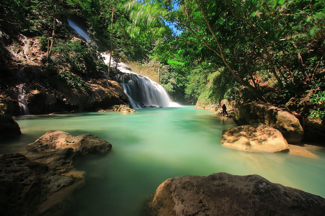
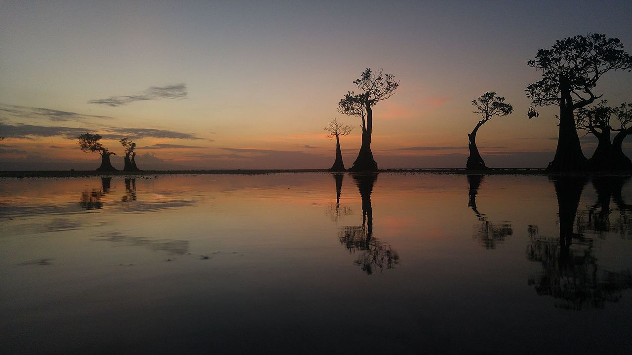
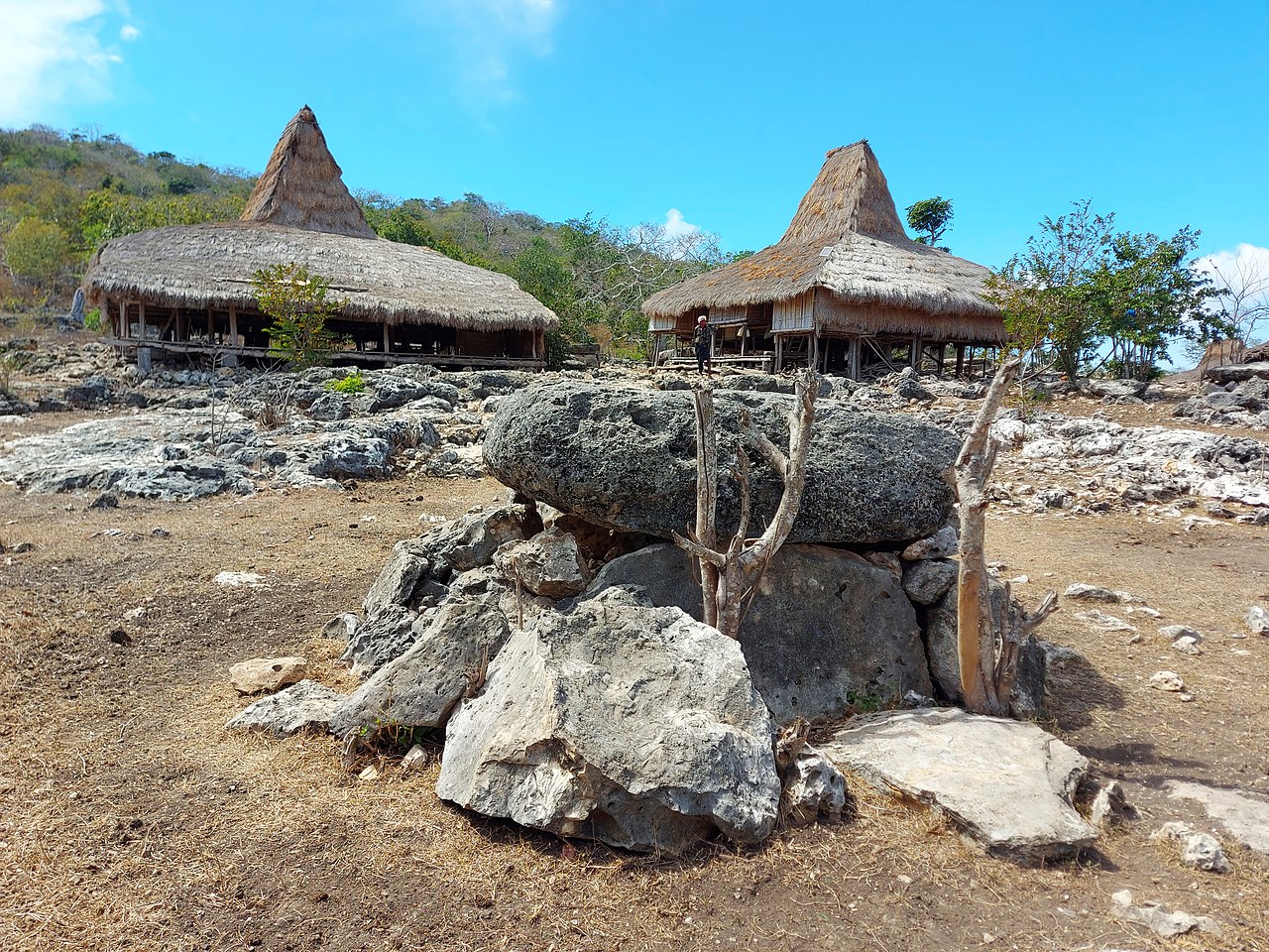
Sumba (Petjo: Soemba-eiland; Indonesian: pulau Sumba), natively also spelt as Humba or Hubba (in Sumba languages) is an Indonesian island (part of the Lesser Sunda Archipelago group) located in the Eastern Indonesia and administratively part of the East Nusa Tenggara provincial territory. Sumba has an area of 11,005.62 square kilometres (4,249.29 square miles), and the population was 686,113 at the 2010 Census and 779,049 at the 2020 Census; the official estimate as of mid-2022 was 799,771. To the northwest of Sumba is Sumbawa, to the northeast, across the Sumba Strait (Selat Sumba), is Flores, to the east, across the Savu Sea, is Timor, and to the south, across part of the Indian Ocean, is Australia.

Oral

According to native Sumba historians, Sumba Island was once connected to its neighbouring islands to the north of Sumba, namely Flores and Sumbawa; and to reach the Flores Island itself specifically, it was connected by the ancient stone bridge built by the native of Sumba–Flores which was known as Kataka Lindiwatu in Sumba languages.[1] Due to the high level of socialization around the Kataka Lindiwatu which connected both islands, the civilization was thought to arise from around those regions (which nowadays corresponds to northern Sumba, and part of East Sumba regency territory); this information was examined through the Sumba oral traditions as was later written in the 21st century by Umbu Pura Woha (2007) in his book Sejarah, Musyawarah dan Adat Istiadat Sumba Timur (lit.'History, Deliberation and Customs of East Sumba').[1]

Ancient civilization ruins  One of the monolith structures in West Sumba.

The ruins of the historical civilization of the Sumba people dates back to the BC era; for instance, megalithic burials were found on the central regions of the island (Central Sumba) which goes back to thousands of years ago. These stone-based burial traditions are still kept alive by the Sumba people and have become a 'living ancient tradition' that still can be observed by scholars in modern days.[2] The megalithic remains found on Sumba Island include dolmen tombs, upright stones, megalithic statues, stone enclosures, and levelled terraces.[3] The Sumba megalithic tradition itself was characterized by the old megaliths built and carved in high quality.[3] Some ancient tools are also found on the island, some notable findings have been at the Anakalang land (a cultural region of Anakalang Sumba, a subethnic group of Sumba people), where quadrangular adzes have been unearthed.[4]

Javanese power

Around the 12th century, the kingdom of Singhasari in eastern Java gained more power over the maritime Southeast Asian territory after the kingdom defeated the Mongols; since then, this kingdom evolved into the empire known as Majapahit. Sumba Island was a subject of Majapahit's dominion, and the word "Sumba" itself was first officially used during the Majapahit era (mentioned in the ancient Javanese manuscripts of Pararaton and Sumpah Palapa oath of Gajah Mada); the word itself was thought as the closest substitution in Javanese for the native name of the island according to native Sumba people, which is Humba or Hubba. The Javanese people was predicted to arrived on the Sumba Island via the Madura and Kangean route, it was examined through the analysis on the DNA of chicken species on Sumba that are naturally only endemic to the eastern regions of Java and its neighbouring islands (which in these case, most probably Kangean Island).[5]

European colonizations

In 1522, the native Sumba came into contact with the Europeans (Portuguese) who arrived on the island by ships to exploit the natural resources of the island. Later, it also attracted the Dutch VOC to come in the region in circa 1600s era. Historically, sandalwood was the main commodity exported to Europe from this island, thus the Sumba Island back then colloquially also known as the Sandalwood Island[6] or Sandel Island (in English).

 The governmental seal of Dutch colonization at Watuhadang of Umalulu district in East Sumba.

As the time goes by, in 1866, the island of Sumba was later transferred to and dominated by the following Dutch East Indies colonization power. The well-known Christianization of the natives of Sumba Island was started in 1886 by the Dutch under the Douwe Wielenga Jesuits missionary program in the district of Laura in West Sumba.[7]

^ a b "Kampung Wunga, Tanah Kelahiran Masyarakat Sumba" [Wunga Settlement, The Birthplace of Sumba Community] (in Indonesian). 2014. ^ Richter, Anne; Carpenter, Bruce W.; Carpenter, Bruce; Sundermann, Jorg (16 May 2012). Gold Jewellery of the Indonesian Archipelago. Editions Didier Millet. p. 119. ISBN 978-981-4260-38-1. Retrieved 2 February 2013. ^ a b "Kampung Tarung Sumba" [Tarung Settlement of Sumba] (in Indonesian). 2018. ^ Simanjuntak, Truman (2006). Archaeology: Indonesian Perspective : R.P. Soejono's Festschrift. Yayasan Obor Indonesia. p. 288. ISBN 978-979-26-2499-1. Retrieved 2 February 2013. ^ "Antara Majapahit, Sumba, dan Ayam Jantan Merah" [(Connecting the Dots) Between Majapahit, Sumba, and the Red Rooster]. Indonesian Institute of Sciences (in Indonesian). 2016. ^ Goodall, George (editor) (1943) Philips' International Atlas, London, George Philip and Son map 'East Indies' pp.91-92 ^ Barker, Joshua (1 July 2009). State of Authority: The State in Society in Indonesia. SEAP Publications. p. 123. ISBN 978-0-87727-780-4. Retrieved 2 February 2013.
Photographies by:
monica renata from jakarta - CC BY 2.0
- Public domain
Statistics: Position
7158
Statistics: Rank
8168

Add new comment

Esta pregunta es para comprobar si usted es un visitante humano y prevenir envíos de spam automatizado.

Security
491786325Click/tap this sequence: 6466

Google street view

Where can you sleep near Sumba ?

Booking.com
489.956 visits in total, 9.198 Points of interest, 404 Destinations, 5 visits today.