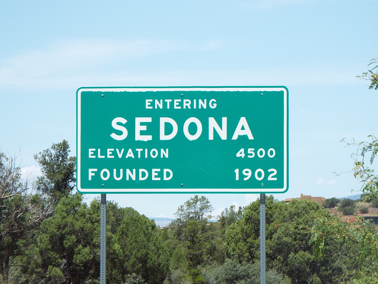
Sedona ( si-DOH-nə) is a city that straddles the county line between Coconino and Yavapai counties in the northern Verde Valley region of the U.S. state of Arizona. As of the 2010 census, its population was 10,031. The city is within the Coconino National Forest.
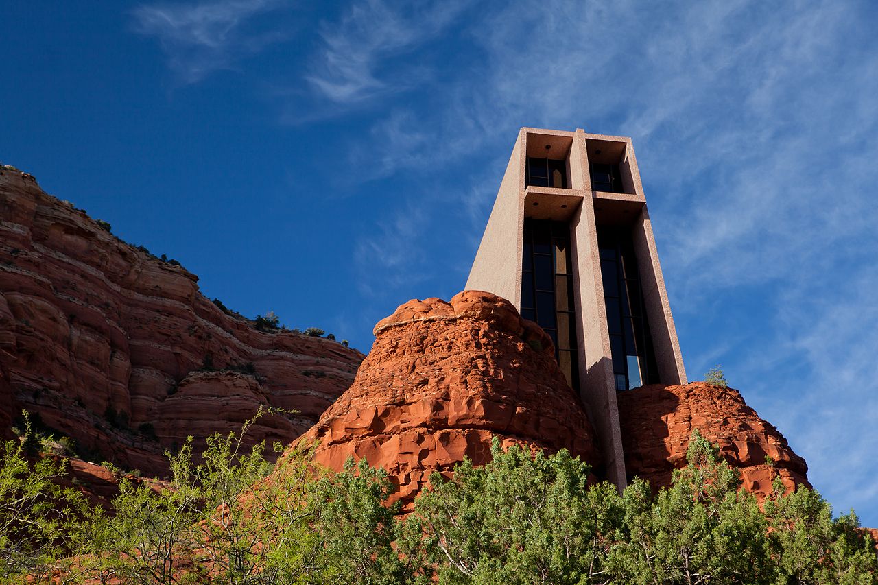
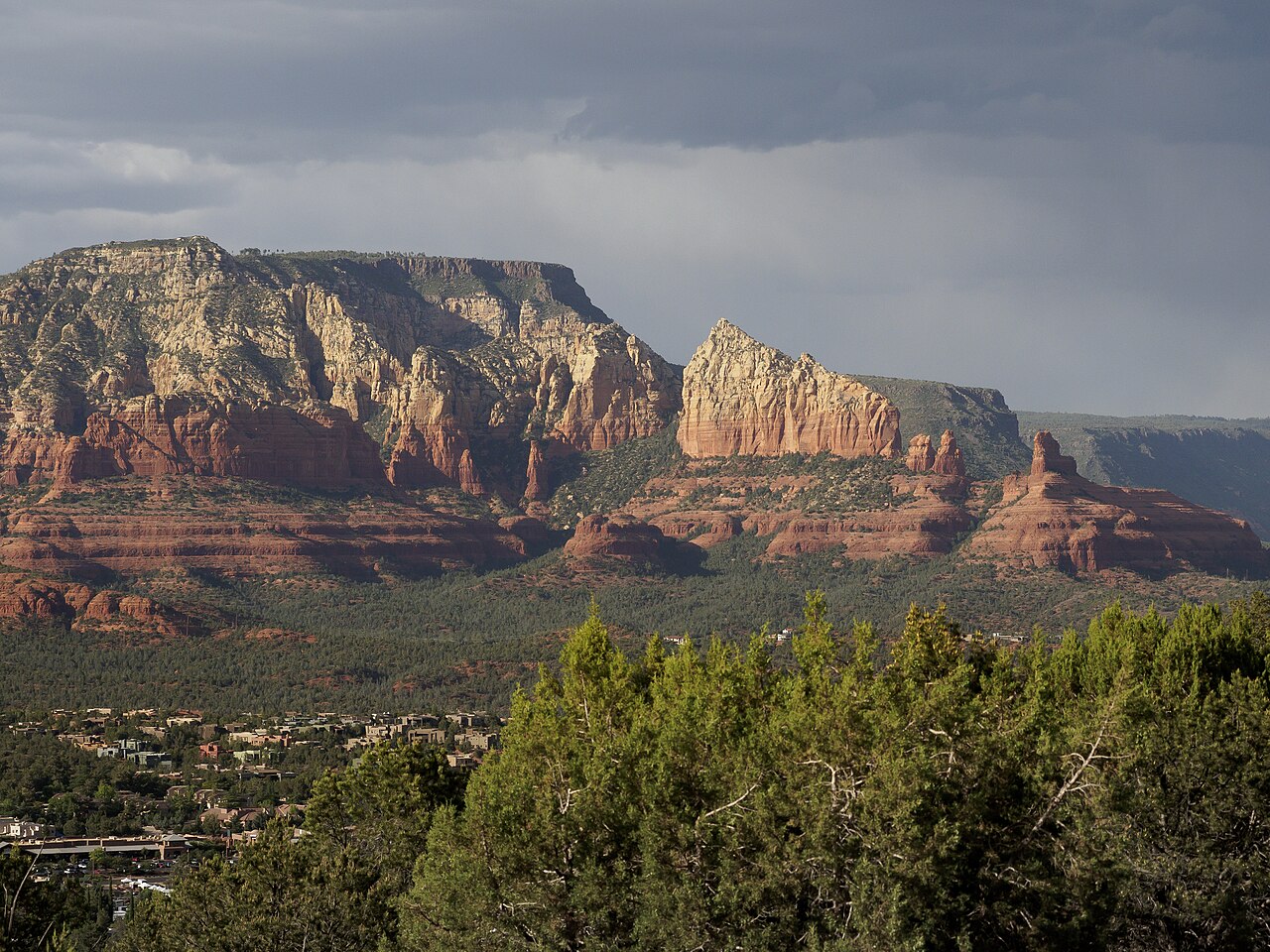
Sedona's main attraction is its array of pink sandstone formations. The formations appear to glow in pink when illuminated by the rising or setting sun. The pink rocks form a popular backdrop for many activities, ranging from spiritual pursuits to the hundreds of hiking and mountain biking trails.
Sedona was named after Sedona Schnebly whose husband, Theodore Carlton Schnebly, was the city's first postmaster. She was celebrated for her hospitality and industriousness. Her mother, Amanda Miller, claimed to have made the name up because "it sounded pretty".


Add new comment