Salar de Uyuni
Salar de Uyuni (or "Salar de Tunupa") is the world's largest salt flat, or playa, at 10,582 square kilometres (4,086 sq mi) in area. It is in the Daniel Campos Province in Potosí in southwest Bolivia, near the crest of the Andes at an elevation of 3,656 m (11,995 ft) above sea level.
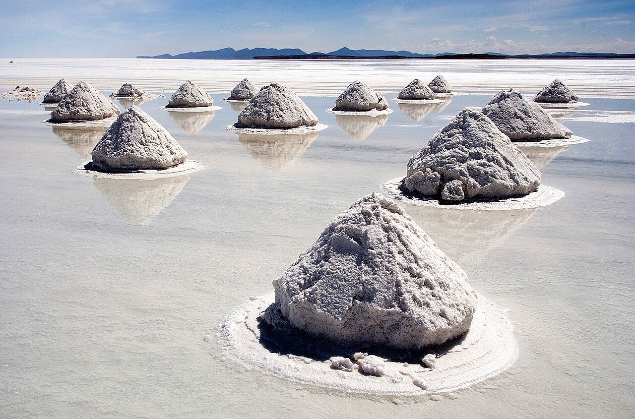
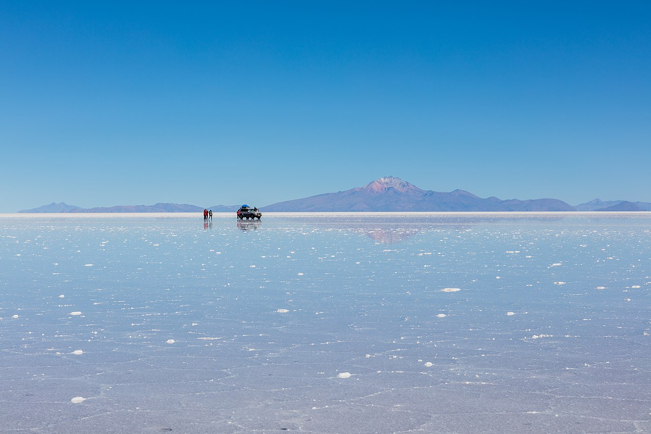
The Salar was formed as a result of transformations between several prehistoric lakes that existed around forty thousand years ago but had all evaporated over time. It is now covered by a few meters of salt crust, which has an extraordinary flatness with the average elevation variations within one meter over the entire area of the Salar. The crust serves as a source of salt and covers a pool of brine, which is exceptionally rich in lithium. The large area, clear skies, and exceptional flatness of the surface make the Salar ideal for calibrating the altimeters of Earth observation satellites. Following rain, a thin layer of dead calm water transforms the flat...Read more
Salar de Uyuni (or "Salar de Tunupa") is the world's largest salt flat, or playa, at 10,582 square kilometres (4,086 sq mi) in area. It is in the Daniel Campos Province in Potosí in southwest Bolivia, near the crest of the Andes at an elevation of 3,656 m (11,995 ft) above sea level.
The Salar was formed as a result of transformations between several prehistoric lakes that existed around forty thousand years ago but had all evaporated over time. It is now covered by a few meters of salt crust, which has an extraordinary flatness with the average elevation variations within one meter over the entire area of the Salar. The crust serves as a source of salt and covers a pool of brine, which is exceptionally rich in lithium. The large area, clear skies, and exceptional flatness of the surface make the Salar ideal for calibrating the altimeters of Earth observation satellites. Following rain, a thin layer of dead calm water transforms the flat into the world's largest mirror, 129 km (80 miles) across.
The Salar serves as the major transport route across the Bolivian Altiplano and is a prime breeding ground for several species of flamingos. Salar de Uyuni is also a climatological transitional zone since the towering tropical cumulus congestus and cumulonimbus incus clouds that form in the eastern part of the salt flat during the summer cannot permeate beyond its drier western edges, near the Chilean border and the Atacama Desert.
The Salar has been used as a filming location for movies such as Star Wars: The Last Jedi (2017; as planet Crait), The Fall (2006), Salt and Fire (2016), The Unseen (2017), and several others.


 - CC BY-SA 2.0")


Add new comment