Poverty Point
Poverty Point State Historic Site/Poverty Point National Monument (French: Pointe de Pauvreté; 16 WC 5) is a prehistoric earthwork constructed by the Poverty Point culture, located in present-day northeastern Louisiana. Evidence of the Poverty Point culture extends throughout much of the Southeastern Woodlands of the Southern United States. The culture extended 100 miles (160 km) across the Mississippi Delta and south to the Gulf Coast.
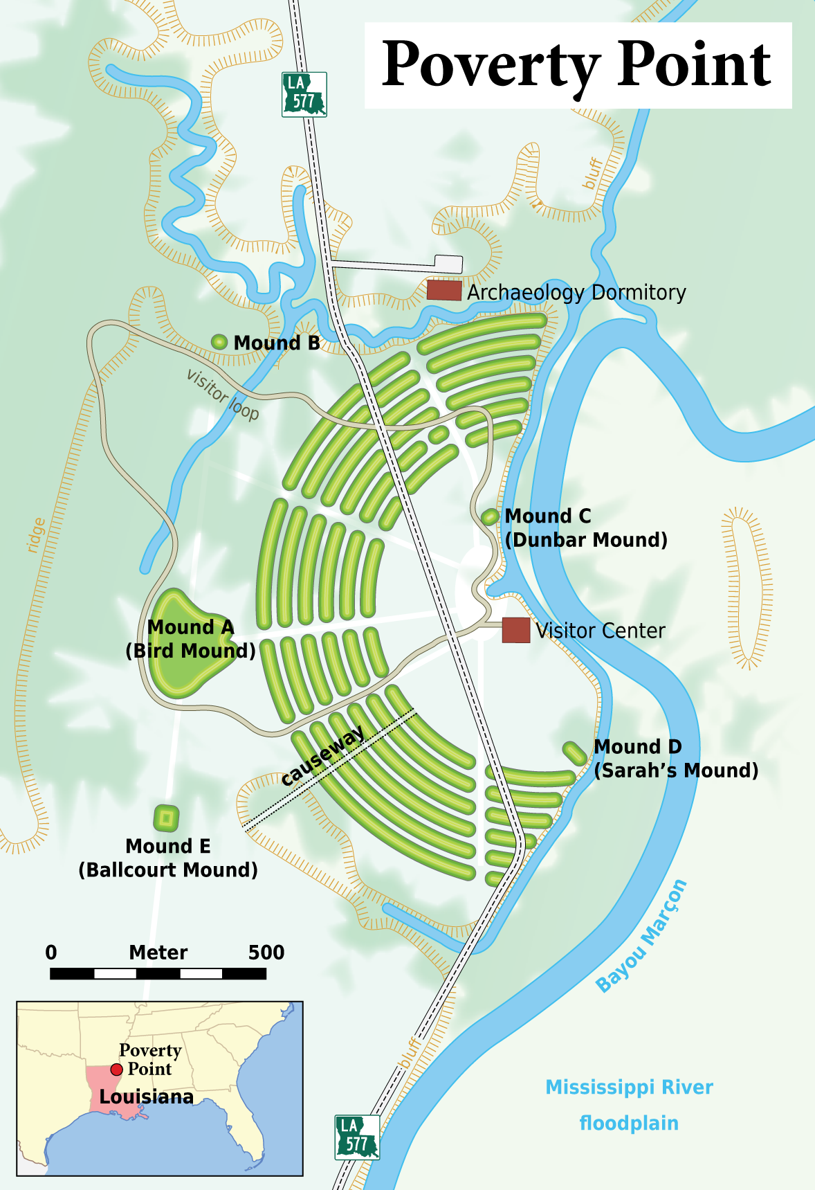
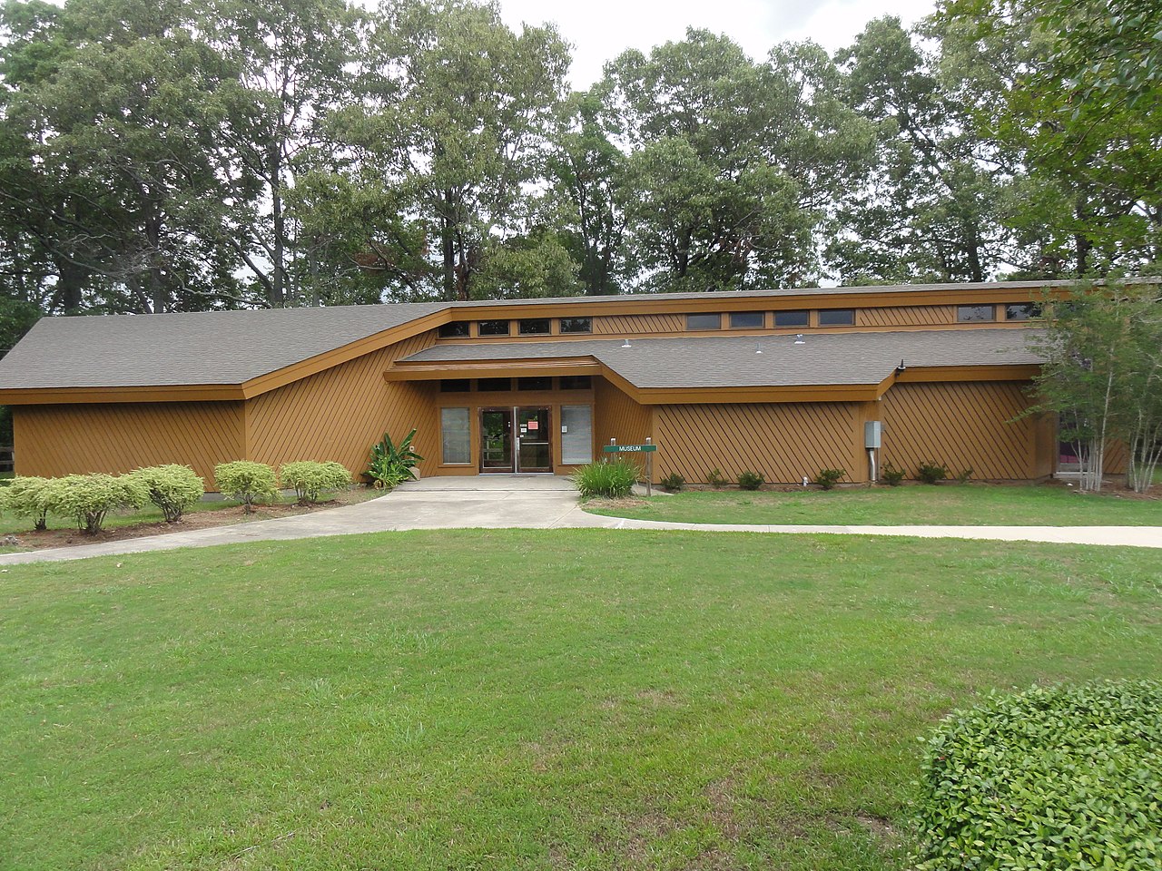
The Poverty Point site has been designated as a state historic site, U.S. National Monument, a U.S. National Historic Landmark, and UNESCO World Heritage Site. The site is 15.5 miles (24.9 km) from the current flow of the Mississippi River, and is situated on the edge of Macon Ridge. The village of Epps developed in the historic period in West Carroll Parish, Louisiana.
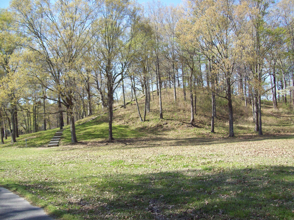
The Poverty Point site contains earthen ridges and mounds, built by indigenous people between 1700 and 1100 BCE d...Read more
Poverty Point State Historic Site/Poverty Point National Monument (French: Pointe de Pauvreté; 16 WC 5) is a prehistoric earthwork constructed by the Poverty Point culture, located in present-day northeastern Louisiana. Evidence of the Poverty Point culture extends throughout much of the Southeastern Woodlands of the Southern United States. The culture extended 100 miles (160 km) across the Mississippi Delta and south to the Gulf Coast.
The Poverty Point site has been designated as a state historic site, U.S. National Monument, a U.S. National Historic Landmark, and UNESCO World Heritage Site. The site is 15.5 miles (24.9 km) from the current flow of the Mississippi River, and is situated on the edge of Macon Ridge. The village of Epps developed in the historic period in West Carroll Parish, Louisiana.
The Poverty Point site contains earthen ridges and mounds, built by indigenous people between 1700 and 1100 BCE during the Late Archaic period in North America. Archaeologists have proposed a variety of possible functions for the site, including as a settlement, a trading center, and/or a ceremonial religious complex.
The 402-acre (163 ha) property now operated as the Poverty Point State Historic Site contains "the largest and most complex Late Archaic earthwork occupation and ceremonial site yet found in North America". Euroamericans described the site in the 19th century. Since the 1950s Poverty Point has been the focus of professional archaeological excavations. The earthworks are named after a 19th-century plantation on the property.


. - CC BY-SA 3.0")


![[node:title]](/sites/default/files/styles/640x320/public/default_images/default_0.JPG.webp?itok=aqV9zhFR)

Add new comment