Mù Cang Chải
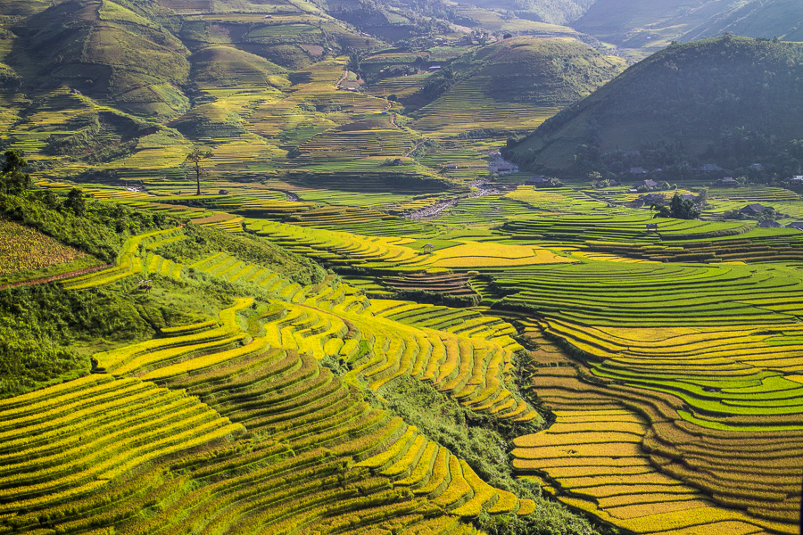
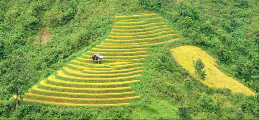
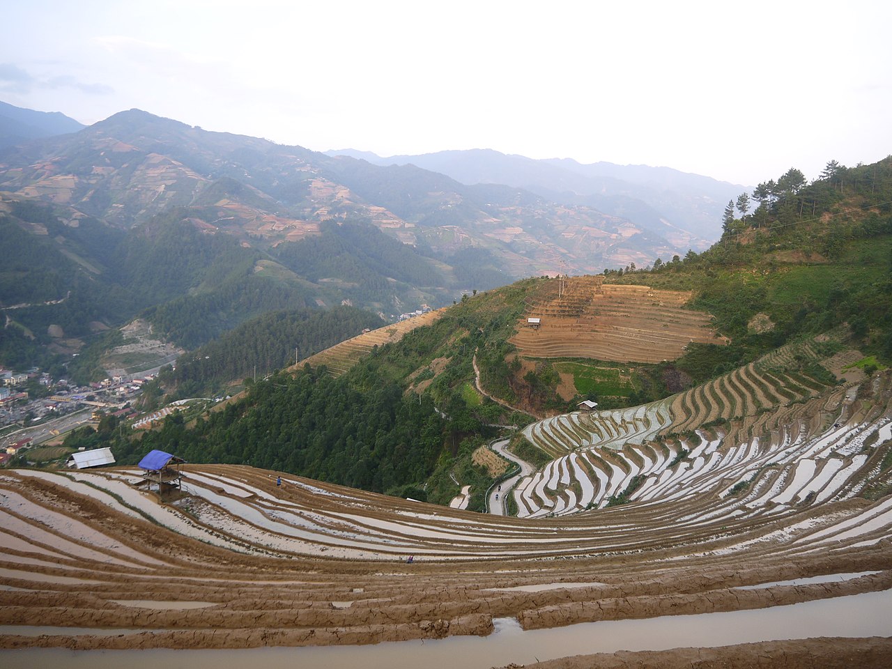
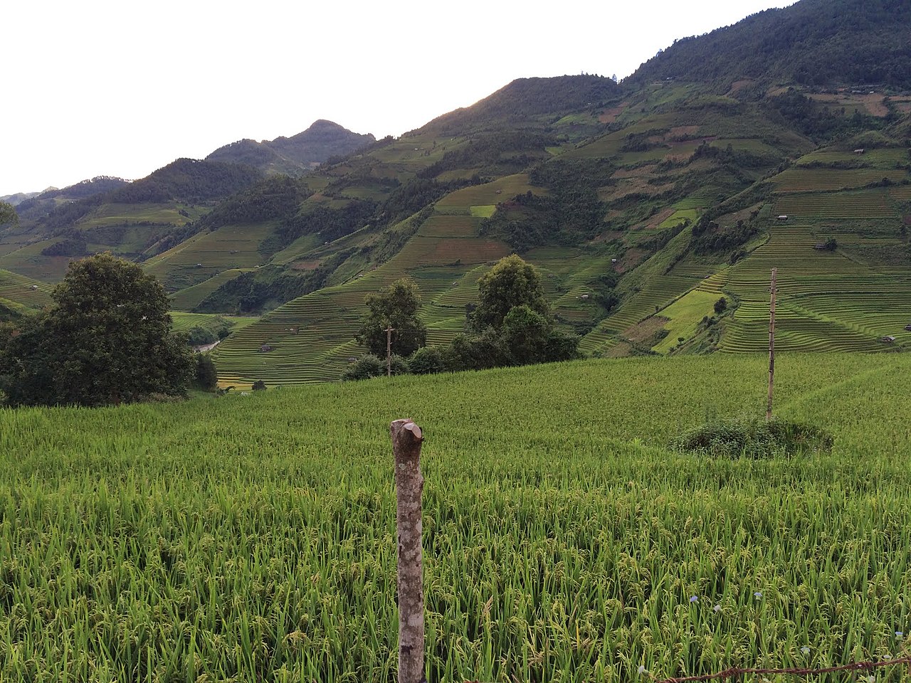
( Mù Cang Chải district )Mù Cang Chải is a rural district of Yên Bái province, in the Northwest region of Vietnam. As of 2019, the district had a population of 63,961, covering an area of 1199 km2. The district capital lies at Mù Cang Chải.
Mù Cang Chải is a landlocked district that borders Van Ban district of Lao Cai province to the north, Muong La district of Son La province to the south, Than Uyen of Lai Chau province to the west, and Van Chan district of Yen Bai province to the east. The district is located at the foot of Hoang Lien Son mountain range, at an altitude of 1,000 m above sea level. To get to Mù Cang Chải district, travellers must pass through Khau Phạ Pass, which is one of four imposing passes in northwest Vietnam.
Photographies by:
Sasint - CC0
Doan Tuan danny_pham93 - CC0
VŨ HÙNG - CC BY-SA 3.0
VŨ HÙNG - CC BY-SA 3.0
VŨ HÙNG - CC BY-SA 3.0
Zones


Statistics: Position
5676
Statistics: Rank
59218


![[node:title]](/sites/default/files/styles/640x320/public/default_images/default_0.JPG.webp?itok=aqV9zhFR)


Add new comment