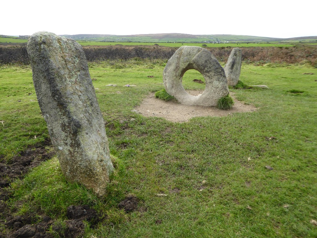
Mên-an-Tol Wikipedia body audio Home United Kingdom Cornwall British Isles England Mên-an-Tol Description The Mên-an-Tol (Cornish: Men an Toll) is a small formation of standing stones in Cornwall, England (grid reference SW426349). It is about three miles northwest of Madron. It is also known locally as the "Crick Stone". 0 0 0 0 0 0 Submit Reset More information Photographies by: Zones United Kingdom British Isles England Cornwall Statistics: Position 3575 Statistics: Rank 91890 Add new comment Comment About text formats CAPTCHA Security Code 294813675Click/tap this sequence: 4337 Esta pregunta es para comprobar si usted es un visitante humano y prevenir envíos de spam automatizado. Save Google street view Google street view Where can you sleep near Mên-an-Tol ? Booking.com What can you do near Mên-an-Tol ? Cornwall and West Devon Mining Landscape Egyptian House, Penzance St Ives, Cornwall St Michael's Mount Minack Theatre Porthleven Lost Gardens of Heligan Lost Gardens of Heligan Eden Project Restormel Castle Polperro Barcelona Cross King Arthur Statue Tintagel Castle Tinside Lido Wistman's Wood Clovelly Verity (statue) Lynton and Lynmouth Cliff Railway View more on the map 9.011.153 visits in total, 407.503 Points of interest, 405 Destinations, 4.922 visits today.


![[node:title]](/sites/default/files/styles/640x320/public/default_images/default_0.JPG.webp?itok=aqV9zhFR)


Add new comment