Karijini National Park
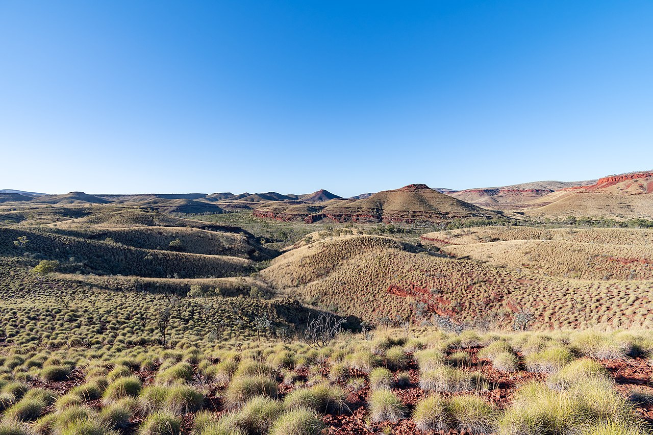
Karijini National Park is an Australian national park centred in the Hamersley Ranges of the Pilbara region in the northwestern section of Western Australia. The park is located north of the Tropic of Capricorn, 1,055 kilometres (656 mi) from the state's capital city, Perth. Formerly known as Hamersley Range National Park, the park was officially renamed in 1991.
At 627,422 hectares (1,550,390 acres), Karijini is the second largest national park in Western Australia (behind Karlamilyi National Park), with rock formations that are estimated at 2.5 billion years old. The ideal time to visit Karijini National Park is between May and September, during Australia's late autumn, winter and early spring. The days are warm but the nights are cold. Summer temperatures which regularly reach in excess of 38 °C (100 °F) make it less practical to visit, with added risk of bushfires.
The park is physically split into a northern and a sout...Read more
Karijini National Park is an Australian national park centred in the Hamersley Ranges of the Pilbara region in the northwestern section of Western Australia. The park is located north of the Tropic of Capricorn, 1,055 kilometres (656 mi) from the state's capital city, Perth. Formerly known as Hamersley Range National Park, the park was officially renamed in 1991.
At 627,422 hectares (1,550,390 acres), Karijini is the second largest national park in Western Australia (behind Karlamilyi National Park), with rock formations that are estimated at 2.5 billion years old. The ideal time to visit Karijini National Park is between May and September, during Australia's late autumn, winter and early spring. The days are warm but the nights are cold. Summer temperatures which regularly reach in excess of 38 °C (100 °F) make it less practical to visit, with added risk of bushfires.
The park is physically split into a northern and a southern half by a corridor containing the Hamersley and Robe River railway and the Marandoo iron ore mine. Tourist attractions such as gorges and waterfalls are located in the northern half of the park, accessible via sealed and gravel roads. There are no sealed access roads in the southern half.
The park is served by the Paraburdoo Airport (PBO) located 100 kilometres (62 mi) from Karijini National Park and Newman Airport (ZNE) is 263 kilometres (163 mi) from Karijini National Park. Hire cars are available from both airports. Solomon Airport, located 15 kilometres (9.3 mi) to the west services some of the nearby iron ore mines.


 - CC BY-SA 3.0")

 Inas at wts wikivoyage - Public domain")


Add new comment