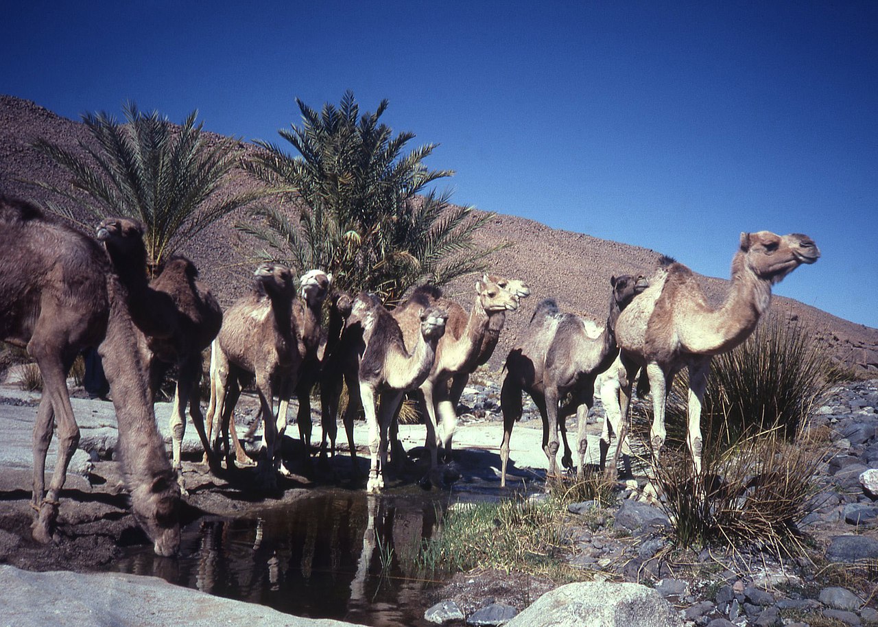
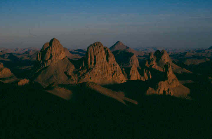
The Hoggar Mountains (Arabic: جبال هقار, romanized: Jibāl Haqqār; Berber: idurar n Ahaggar) are a highland region in the central Sahara in southern Algeria, along the Tropic of Cancer. The mountains cover an area of approximately 550,000 km2.
The Hoggar Mountains are home to the Ahaggar National Park. The tallest peak in the range and Algeria, Mount Tahat, is located in the park area, which covers approximately 450,000 square kilometres (170,000 sq mi).
Photographies by:
Zones


Statistics: Position
2151
Statistics: Rank
133751


Add new comment