Drakensberg
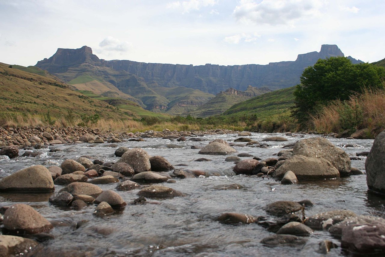
The Drakensberg (Zulu: uKhahlamba, Sotho: Maloti, Afrikaans: Drakensberge) is the eastern portion of the Great Escarpment, which encloses the central Southern African plateau. The Great Escarpment reaches its greatest elevation – 2,000 to 3,482 metres (6,562 to 11,424 feet) within the border region of South Africa and Lesotho.
The Drakensberg escarpment stretches for more than 1,000 kilometres (600 miles) from the Eastern Cape Province in the South, then successively forms, in order from south to north, the border between Lesotho and the Eastern Cape and the border between Lesotho and KwaZulu-Natal Province. Thereafter it forms the border between KwaZulu-Natal and the Free State, and next as the border between KwaZulu-Natal and Mpumalanga Province. The escarpment winds north from there, through Mpumalanga, where it includes features such as the Blyde River Canyon, Three Rondavels, and God's Window. It then extends farther north to Hoed...Read more
The Drakensberg (Zulu: uKhahlamba, Sotho: Maloti, Afrikaans: Drakensberge) is the eastern portion of the Great Escarpment, which encloses the central Southern African plateau. The Great Escarpment reaches its greatest elevation – 2,000 to 3,482 metres (6,562 to 11,424 feet) within the border region of South Africa and Lesotho.
The Drakensberg escarpment stretches for more than 1,000 kilometres (600 miles) from the Eastern Cape Province in the South, then successively forms, in order from south to north, the border between Lesotho and the Eastern Cape and the border between Lesotho and KwaZulu-Natal Province. Thereafter it forms the border between KwaZulu-Natal and the Free State, and next as the border between KwaZulu-Natal and Mpumalanga Province. The escarpment winds north from there, through Mpumalanga, where it includes features such as the Blyde River Canyon, Three Rondavels, and God's Window. It then extends farther north to Hoedspruit in southeastern Limpopo where it is known as 'Klein Drakensberg' by the Afrikaner. From Hoedspruit it extends west to Tzaneen, also in Limpopo Province, where it is known as the Wolkberg Mountains and Iron Crown Mountain. At 2,200 m (7,200 ft) above sea level, the Wolkberg is the highest elevation in Limpopo. The escarpment extends west again and at Mokopane it is known as the Strydpoort Mountains.


Add new comment