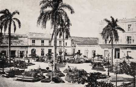
Camagüey (Spanish pronunciation: [kamaˈ(ɣ)wej]) is a city and municipality in central Cuba and is the nation's third-largest city with more than 333,000 inhabitants. It is the capital of the Camagüey Province.
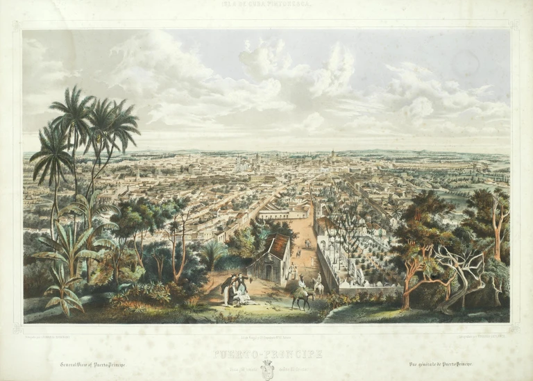
It was founded as Santa María del Puerto del Príncipe in 1514, by Spanish colonists on the northern coast and moved inland in 1528, to the site of a Taino village named Camagüey. It was one of the seven original settlements (villas) founded in Cuba by the Spanish. After Henry Morgan burned the city in the 17th century, it was redesigned like a maze so attackers would find it hard to move around inside the city.
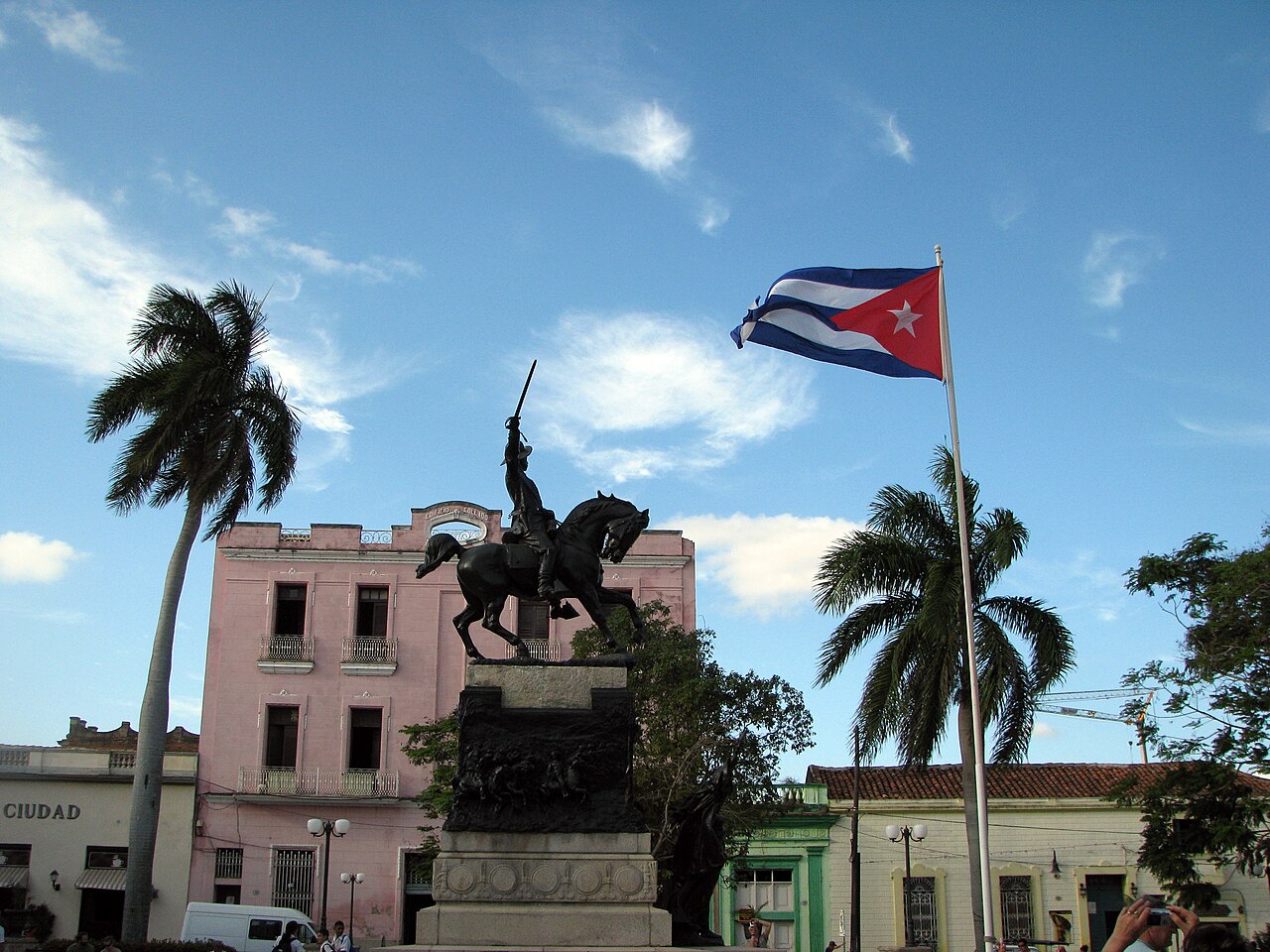
The symbol of the city of Camagüey is the clay pot or tinajón, used to capture rain water and keep it fresh. Camagüey is also the birthplace of Ignacio Agramonte (1841), an important figure of the Ten Years' War against Spain. A monument by Italian sculptor Salvatore Buemi, erected...Read more
Camagüey (Spanish pronunciation: [kamaˈ(ɣ)wej]) is a city and municipality in central Cuba and is the nation's third-largest city with more than 333,000 inhabitants. It is the capital of the Camagüey Province.
It was founded as Santa María del Puerto del Príncipe in 1514, by Spanish colonists on the northern coast and moved inland in 1528, to the site of a Taino village named Camagüey. It was one of the seven original settlements (villas) founded in Cuba by the Spanish. After Henry Morgan burned the city in the 17th century, it was redesigned like a maze so attackers would find it hard to move around inside the city.
The symbol of the city of Camagüey is the clay pot or tinajón, used to capture rain water and keep it fresh. Camagüey is also the birthplace of Ignacio Agramonte (1841), an important figure of the Ten Years' War against Spain. A monument by Italian sculptor Salvatore Buemi, erected in the center of the area to Ignacio Agramonte, was unveiled by his wife in 1912. It is composed of an equestrian statue, reliefs in bronze that reveal fragments of the life of Agramonte, and a sculpture of a woman that symbolizes the motherland.
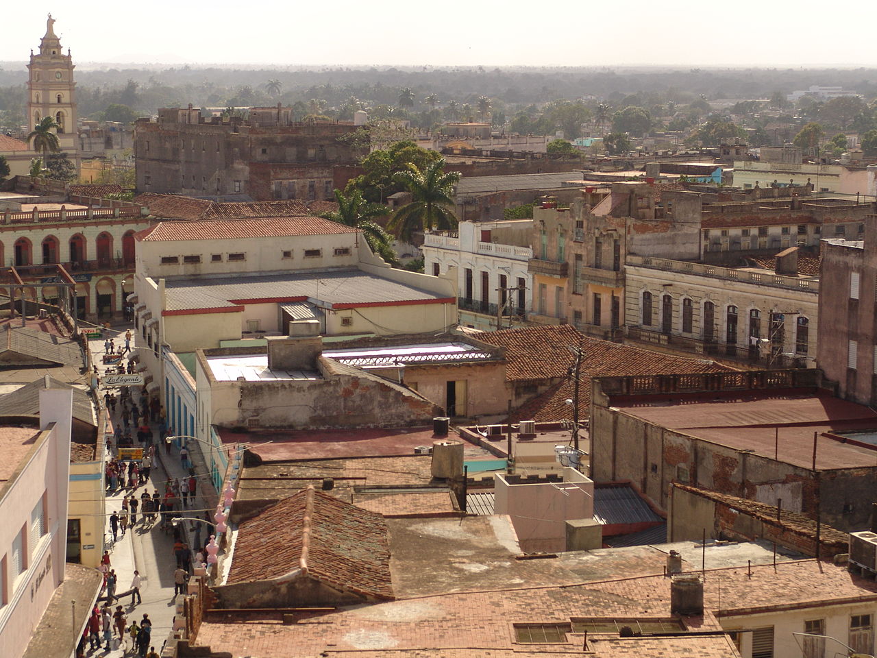
In July 2008, the old town was designated a UNESCO World Heritage Site, because of its irregular, maze-like city planning, its prominent role in early Spanish colonization and agriculture, and its rich architecture showing a variety of influences.


![[node:title]](/sites/default/files/styles/640x320/public/default_images/default_0.JPG.webp?itok=aqV9zhFR)


Add new comment