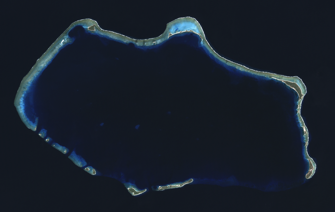
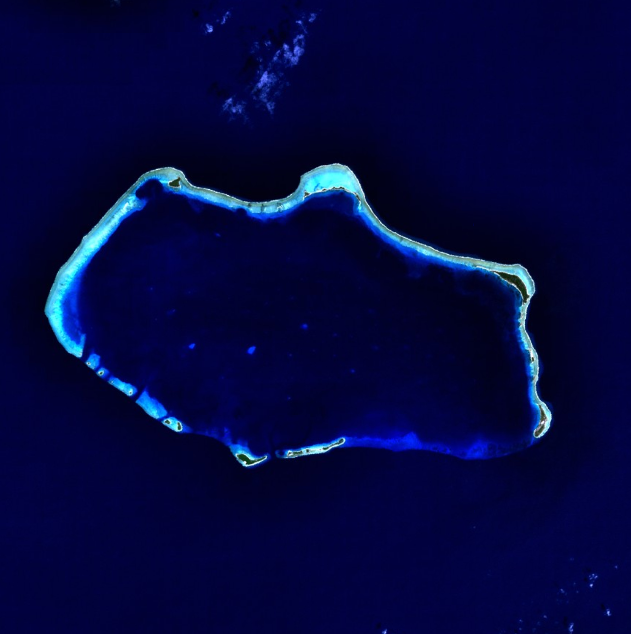
Bikini Atoll ( or ; Marshallese: Pikinni, [pʲiɡinnʲi], lit. 'coconut place'), known as Eschscholtz Atoll between the 19th century and 1946, is a coral reef in the Marshall Islands consisting of 23 islands surrounding a 229.4-square-mile (594.1 km2) central lagoon. The atoll is at the northern end of the Ralik Chain, approximately 530 miles (850 km) northwest of the capital Majuro.
After the Second World War, the atoll was chosen by the United States as a nuclear weapon testing site. It would be the site of the fourth nuclear bomb detonation and would go on to be the site of many more tests. The people that lived on Bikini—all 167 of the atoll's inhabitants—agreed to relocate after be...Read more
Bikini Atoll ( or ; Marshallese: Pikinni, [pʲiɡinnʲi], lit. 'coconut place'), known as Eschscholtz Atoll between the 19th century and 1946, is a coral reef in the Marshall Islands consisting of 23 islands surrounding a 229.4-square-mile (594.1 km2) central lagoon. The atoll is at the northern end of the Ralik Chain, approximately 530 miles (850 km) northwest of the capital Majuro.
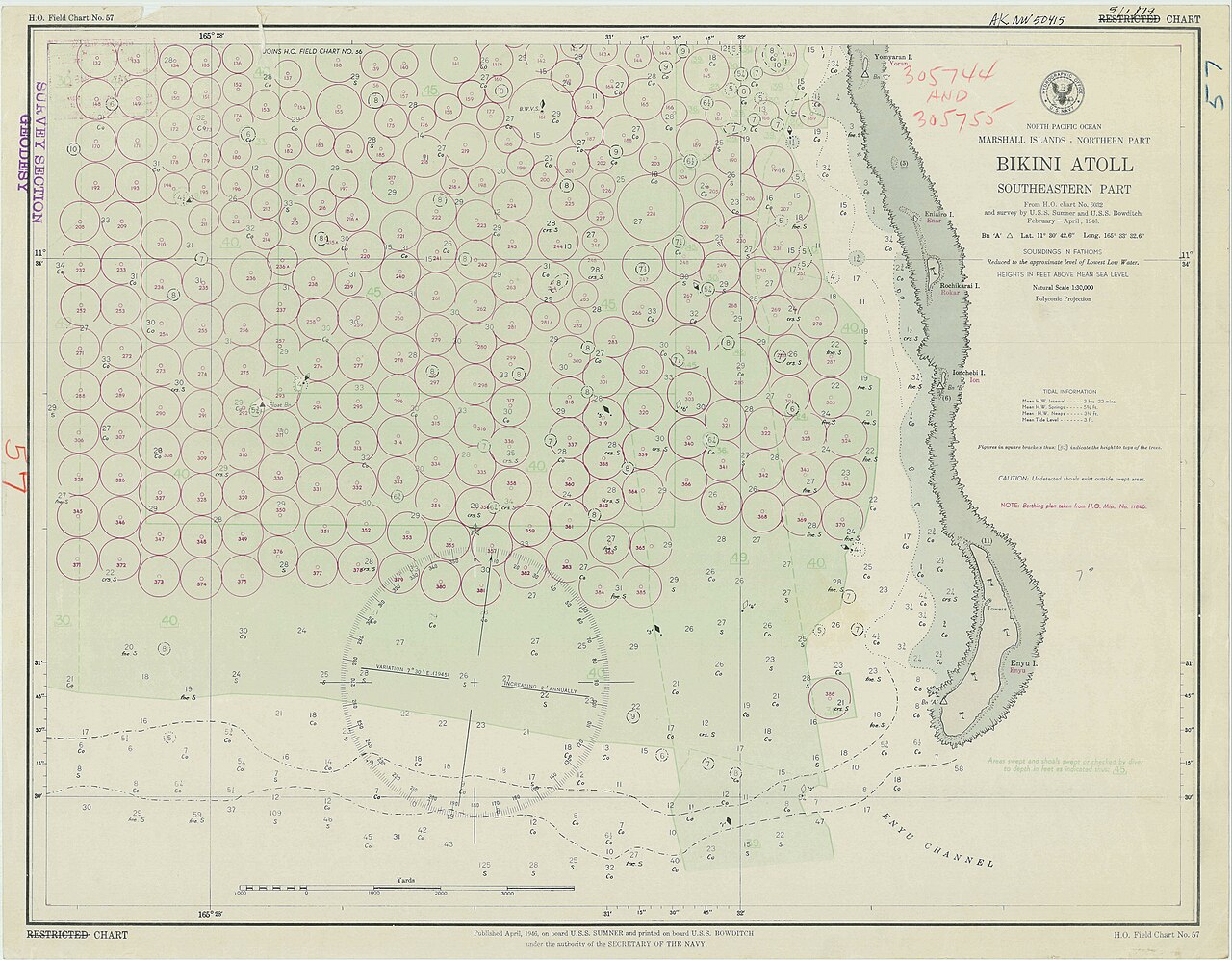
After the Second World War, the atoll was chosen by the United States as a nuclear weapon testing site. It would be the site of the fourth nuclear bomb detonation and would go on to be the site of many more tests. The people that lived on Bikini—all 167 of the atoll's inhabitants—agreed to relocate after being informed of the plan to test then-new nuclear weapons, of great importance to humankind, though it is sometimes considered a forced relocation. In 1946 they moved to Rongerik, a small island east of Bikini Atoll, but it turned out to have inadequate resources to support the population. The islanders began experiencing starvation by early 1948, and they were moved again, this time to Kwajalein Atoll. The United States used the islands and lagoon as the site of 23 nuclear tests until 1958, when it was discovered that the fallout from nuclear testing was much more dangerous than was previously thought. To this day, the Bikini islanders have not been able to return home due to nuclear contamination. There are some signs of recovery as the amount of radiation slowly decreases.
In 1972, about 100 residents were voluntarily returned to their home island. But scientists found dangerously high levels of strontium-90 in well water in May 1978, and the residents' bodies were carrying abnormally high concentrations of caesium-137. They were evacuated again in September 1978. The atoll is occasionally visited today by divers and a few scientists, and it is occupied by a handful of caretakers. The people of the atoll, which now number in the thousands, have spread out to other Marshallese islands and the United States. A multi-million dollar trust fund, which had been supporting services for many Bikini since the 1980s, was drained in the late 2010s.
In the 21st century, the atoll is a World Heritage Site, remembered for its role in the Cold War and the post-nuclear age. It is noted as an enclave of nature, and the radiation has decreased enough that tourism is possible. However, the lingering radioactive contamination makes it unfit to return from what was expected to be short-term evacuation, especially as it is not recommended to eat plants or wildlife.


Add new comment