Bandiagara Escarpment
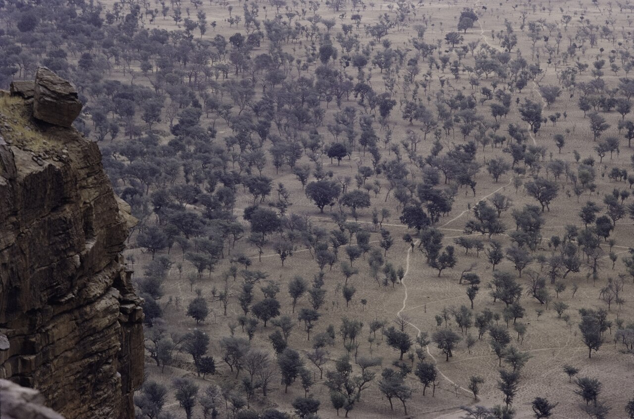
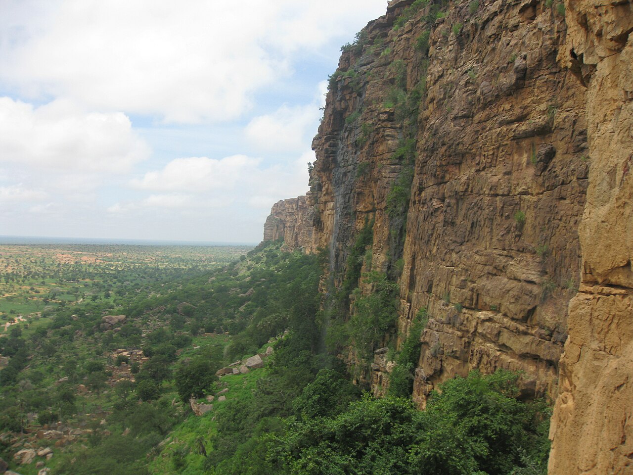
The Bandiagara Escarpment (Arabic: منحدرات باندياغارا الصخرية, French: falaise de Bandiagara) is a sandstone cliff in the Dogon country of Mali. It rises about 500 m (1,600 ft) above the lower sandy flats to the south, and has a length of approximately 150 km (90 mi).
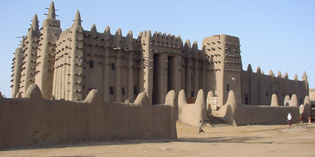
The area of the escarpment is inhabited today by the Dogon people. Before the Dogon, the escarpment was inhabited by the Tellem and Toloy peoples. Many structures remain from the Tellem. The Bandiagara Escarpment was listed in the UNESCO World Heritage List in 1989.
The Cliffs of Bandiagara are a sandstone chain ranging from south to northeast over 200 km (120 mi) and extending to the Grandamia massif. The end of the massif is marked by the Hombori Tondo, Mali's highest peak at 1,155 m (3,789 ft). Because of its archaeological, ethnological and geological characteristics, the entire site is a point of interest.


![[node:title]](/sites/default/files/styles/640x320/public/default_images/default_0.JPG.webp?itok=aqV9zhFR)


Add new comment