Venice, Los Angeles
Venice is a neighborhood of the City of Los Angeles within the Westside region of Los Angeles County, California, United States.
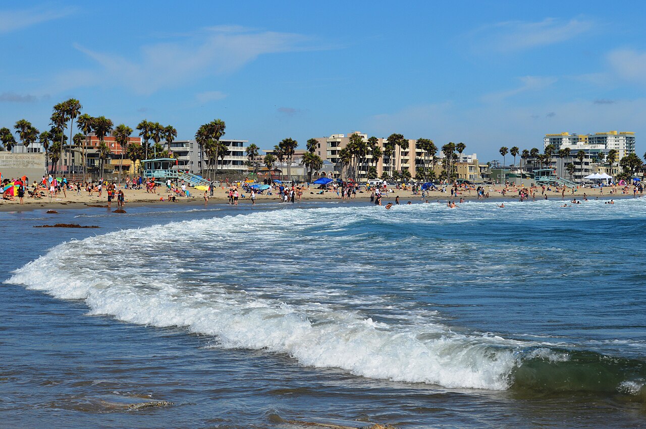
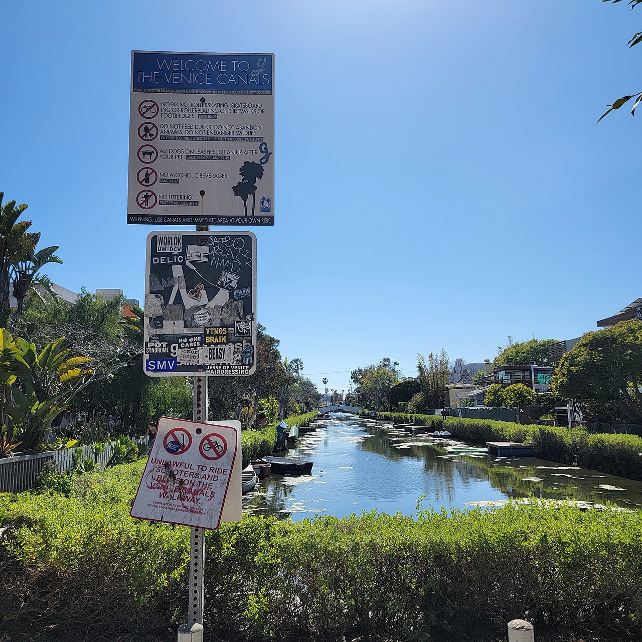
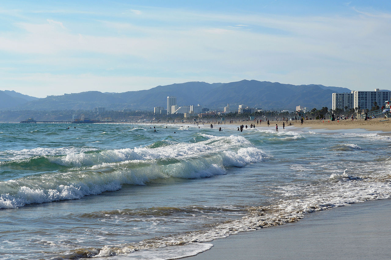
Venice was founded by Abbot Kinney in 1905 as a seaside resort town. It was an independent city until 1926, when it was annexed by Los Angeles. Venice is known for its canals, a beach, and Ocean Front Walk, a 2.5-mile (4 km) pedestrian promenade that features performers, fortune-tellers, and vendors.
In 1839, a region called La Ballona that included the southern parts of Venice, was granted by the Mexican government to Ygnacio and Augustin Machado and Felipe and Tomas Talamantes, giving them title to Rancho La Ballona.[1][2][3] Later this became part of Port Ballona.
Founding Venice Pavilion and Ship Cafe, c. 1905–1913
 Windward Avenue, 1913
Venice, originally called "Venice of America", was founded by wealthy developer Abbot Kinney in 1905 as a beach resort town, 14 miles (23 km) west of Los Angeles. He and his partner Francis Ryan had bought 2 miles (3 km) of ocean-front property south of Santa Monica in 1891. They built a resort town on the north end of the property, called Ocean Park, which was soon annexed to Santa Monica. After Ryan died, Kinney and his new partners continued building south of Navy Street. After the partnership dissolved in 1904, Kinney, who had won the marshy land on the south end of the property in a coin flip with his former partners, began to build a seaside resort like the namesake Italian city.[4]: 8
When Venice of America opened on July 4, 1905, Kinney had dug several miles of canals to drain the marshes for his residential area, built a 1,200-foot-long (370 m) pier with an auditorium, ship restaurant, and dance hall, constructed a hot salt-water plunge, and built a block-long arcaded business street with Venetian architecture. Kinney hired artist Felix Peano to design the columns of the buildings.[4]: 22 Included in the capitals are several faces, modeled after Kinney and a woman named Nettie Bouck.[5][6]
 Fireworks display over the lake at the old Venice Amusement Park around 1915
Tourists, mostly arriving on the "Red Cars" of the Pacific Electric Railway from Los Angeles and Santa Monica, then rode the Venice Miniature Railway and gondolas to tour the town.[7] The biggest attraction was Venice's 1-mile-long (1.6 km) gently-sloping beach.[8] Cottages and housekeeping tents were available for rent.[9][10]
The population (3,119 residents in 1910) soon exceeded 10,000; the town drew 50,000 to 150,000 tourists on weekends.[11][citation needed]
Amusement pier Special edition of the Venice Daily Vanguard, dated July 19, 1913. A female figure labeled "Prosperity" is gesturing toward the Venice Amusement Pier at bottom left.
 People strolling by the dance hall on the amusement pier, c. 1900–1920
 Crowds between 17th and 34th streets, with roller coaster in background, c. 1900–1920
For the amusement of the public, Kinney hired aviators to do aerial stunts over the beach. One of them, movie aviator and Venice airport owner B. H. DeLay, implemented the first lighted airport in the United States on DeLay Field (previously known as Ince Field). After a marine rescue attempt was thwarted, he organized the first aerial police force in the nation. DeLay performed many of the world's first aerial stunts for motion pictures in Venice.[citation needed]
Attractions on the Kinney Pier became more amusement-oriented by 1910, when a Venice Miniature Railway, Aquarium, Virginia Reel, Whip, Racing Derby, and other rides and game booths were added. Since the business district was allotted only three one-block-long streets, and the City Hall was more than a mile away, other competing business districts developed. Unfortunately, this created a fractious political climate. Kinney, however, governed with an iron hand and kept things in check. When he died in November 1920, Venice became harder to govern. With the amusement pier burning six weeks later in December 1920, and Prohibition (which had begun the previous January), the town's tax revenue was severely affected.[citation needed]
The Kinney family rebuilt their amusement pier quickly to compete with Ocean Park's Pickering Pleasure Pier and the new Sunset Pier. When it opened it had two roller coasters, a new Racing Derby, a Noah's Ark, a Mill Chutes, and many other rides. By 1925, with the addition of a third coaster, a tall Dragon Slide, Fun House, and Flying Circus aerial ride, it was the finest amusement pier on the West Coast. Several hundred thousand tourists visited on weekends. In 1923, Charles Lick built the Lick Pier at Navy Street in Venice, adjacent to the Ocean Park Pier at Pier Avenue in Ocean Park. Another pier was planned for Venice in 1925 at Leona Street (now Washington Street).
PoliticsBy 1925, Venice's politics had become unmanageable because its roads, water and sewage systems badly needed repair and expansion to keep up with its growing population. When it was proposed that Venice consolidate with Los Angeles, the board of trustees voted to hold an election. Consolidation was approved at the election in November 1925, and Venice was merged with Los Angeles in 1926.[4]: 8
Many streets were paved in 1929, following a three-year court battle led by canal residents. Afterward, the Department of Recreation and Parks intended to close three amusement piers, but had to wait until the first of the tidelands leases expired in 1946.[12]
OilIn 1929, oil was discovered south of Washington Street on the Venice Peninsula, now known as the Marina Peninsula neighborhood of Los Angeles. Within two years, 450 oil wells covered the area, and drilling waste clogged the remaining waterways. The short-lived boom provided needed income to the community, which otherwise suffered during the Great Depression. Most of the wells had been capped by the 1970s, and the last wells, near the Venice Pavilion, were capped in 1991.[13]
NeglectAfter annexation, the city of Los Angeles showed little interest in maintaining the unusual neighborhood. Most of the canals were filled in and paved over, and the former lagoon became a traffic circle. The neighborhood lacked the automobile-centric, homogeneous character that the city sought to cultivate in the post-World War II era, and was perceived as a dated, obsolete remnant of earlier decades' land speculation.[14]
Los Angeles had neglected Venice so long that, by the 1950s the neglect had led to the area being labeled the "Slum by the Sea". With the exception of new police and fire stations in 1930, the city spent little on improvements after annexation. The city did not pave Trolleyway (Pacific Avenue) until 1954 when county and state funds became available. Low rents for run-down bungalows attracted predominantly European immigrants (including a substantial number of Holocaust survivors) and young counterculture artists, poets, and writers. The Beat Generation hung out at the Gas House on Ocean Front Walk and at Venice West Cafe on Dudley.[15]
Past gang activityThe Venice Shoreline Crips and the Latino Venice 13 (V-13) were the two main gangs active in Venice. V13 dates back to the 1950s, while the Shoreline Crips were founded in the early 1970s, making them one of the first Crip sets in Los Angeles.[citation needed] In the early 1990s, V-13 and the Shoreline Crips were involved in a fierce battle over crack cocaine sales territories.[16]
By 2002, the numbers of gang members in Venice were reduced due to gentrification and increased police presence. According to a Los Angeles City Beat article, by 2003, many Los Angeles Westside gang members had resettled in the city of Inglewood.[17]
Housing and homelessness Graffiti in Venice decries the Los Angeles Homeless Services Authority as a scam, 2023.
Venice Beach is one of the most difficult places in the United States to build new housing due to stringent zoning regulations.[18] Between 2007 and 2022, the number of available housing units actually decreased, despite a massive increase in property values and construction activity over the same period.[18] The neighborhood was developed early in the history of Los Angeles, and as such much of the housing stock predates the current system of zoning regulations by decades. In the areas along Pacific avenue, many early 1900's multifamily buildings still exist, some housing as many as 30 units on a single lot with no parking. Current regulations mandate lower housing densities (most commonly 1 unit per 1,500 square feet of lot area).[19]
As per a 2020 count, there were nearly 2,000 homeless people in Venice,[20] up from 175 in 2014. Many of them take up residence in tents and tent cities.[21] An LAPD official said that the increased homeless population has contributed to a spike in crimes in Venice in 2021.[20] In February 2020, the city opened a 154-bed transitional housing shelter at a former Metro bus yard.[22]


 - CC BY-SA 3.0")


Add new comment