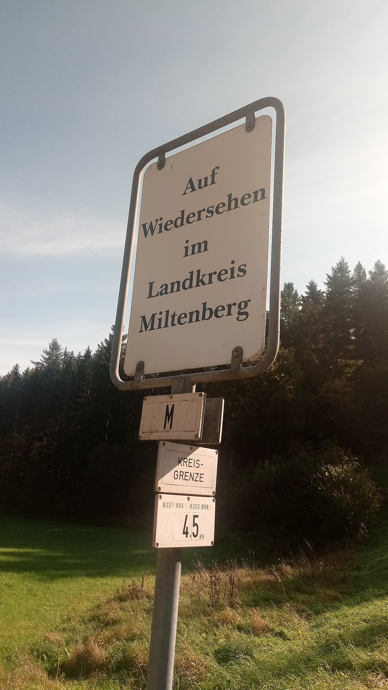
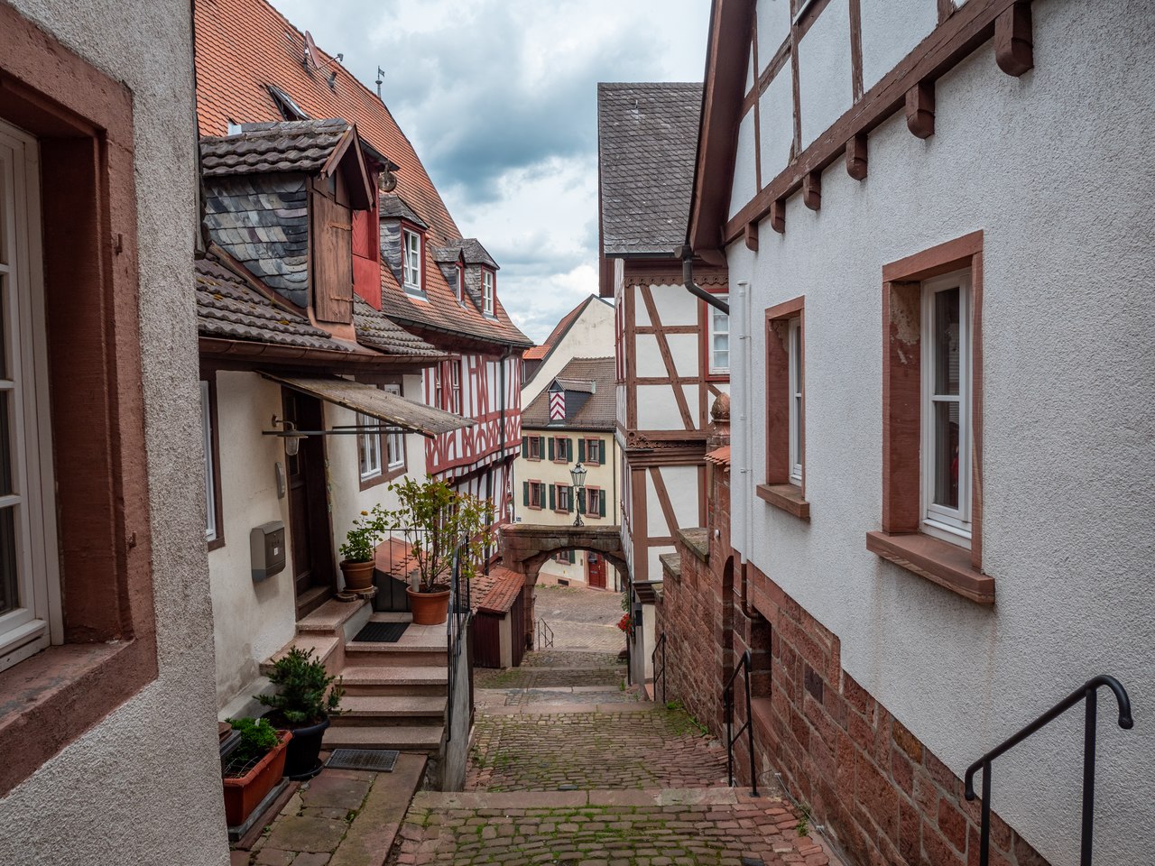
Miltenberg (German: [ˈmɪltn̩ˌbɛʁk] ) is a town in the Regierungsbezirk of Lower Franconia (Unterfranken) in Bavaria, Germany. It is the seat of the like-named district and has a population of over 9,000.

Pre-history and Antiquity

In pre-Roman times, circular ramparts were built on the Greinberg above Miltenberg and on the Bürgstadter Berg (also known as Wannenberg) northeast of Bürgstadt. These were in use as early as the Neolithic (Michelsberg culture) but mostly date from the late Bronze Age (Urnfield culture).[1]: 97 

In the 150s, the Roman Empire pushed outwards its fortified border in Germania, establishing the Upper Germanic-Rhaetian Limes which replaced the Odenwald-Neckar-Limes. From Miltenberg on northwards, the river Main became the border. East of Miltenberg a fortified palisade stretched to the south and east towards Walldürn and on to Lorch.[1]: 31, 34–5 

 Computer reconstruction of the Roman Altstadtkastell.

Two castra were established: the Altstadtkastell between Miltenberg and Kleinheubach (2.7 hectares) to the north and the Kastell Miltenberg-Ost in the direction of Bürgstadt (0.6 hectares). The former, which was likely built some years in advance of the overall change in the borderline, housed a cohort, the southernmost military presence on the Main. In 190/1, this was the cohort I Sequanorum et Rauricorum equitata (a mixed infantry and cavalry unit of 480 men). In addition, a scout unit (exploratores Triputienses) was based in the area, either in the Altstadtkastell or in a nearby separate fort. The cohort castrum likely was continuously occupied until about 260, when the Romans abandoned this part of their border after heavy raids by Germanic tribes. The castrum was destroyed by the Alemanni.[2][1]: 75–81, 85 

The Limes itself met the Main near the eastern castrum, Miltenberg-Ost which housed a Numerus, a smaller military unit. The exact line the wall followed for the first few kilometers near the Main is not known. This smaller fort was likely built in the 2nd century, probably soon after 150. It was in use at most until the middle of the 3rd century.[1]: 82–3 

During their presence, the Romans also built at least two sanctuaries dedicated to Mercury on the Greinberg.[1]: 97–8 

Middle Ages

After the withdrawal of the Romans from the area, the regional population declined. Burgundians and Alemanni moved through the lower Main region, but it was only under the Franks (after 500 AD) that the population density again rose noticeably. Their settlements often did not simply grow out of the formerly Roman cores but included separate newly established sites.[1]: 30, 66–7 

Early Medieval settlers concentrated on the area south of the former Altstadtkastell, northwest of the current town. A Carolingean church was likely built there (9th century) and stones from the castrum were used in early Medieval fortifications nearby. In the 10th to 12th century a town wall was added to this castle-like structure, largely following the foundations of the castrum. A flooded moat surrounded the wall. A Romanesque church was built inside the walled area. This settlement likely was the civitas Walehusen, owned by the Count Palatinate in his role as Vogt of Lorsch Abbey. This was destroyed in 1247 by troops of the Archbishop of Mainz, Siegfried III.[1]: 68 

At this point, the population of Walehausen/Wallhausen was likely moved to the village Miltinburc, previously founded by Mainz during the first quarter of the 13th century and mentioned first in 1226. Another village, Vachhausen, in between Miltinburc and Wallhausen, was abandoned in the Middle Ages, but the Gothic Laurentiuskapelle, located far from the Medieval center of Miltenberg, was built on the remains of the earlier Romanesque parish church of Vachhausen.[1]: 69 

 Inscription on the Heunensäule

Already by the early Middle Ages, the area's red buntsandstein was highly sought-after, with products such as grindstones and columns being hewn in the surrounding woods. The so-called Heunensäulen [de] were made near Miltenberg. They are special bunter columns likely intended for Mainz Cathedral when it was built around the year 1000. The master builder, however, apparently decided that they were not needed, so they never became part of the cathedral. One of the monoliths now stands in Mainz’ cathedral square, a gift to the city on the occasion of the cathedral's 1,000th anniversary in 1975. Other columns are at Munich (Bayerisches Nationalmuseum) and Nuremberg (Germanisches Nationalmuseum).

Miltenberg/Miltinburc grew around a Mainz toll station built on the river bank in the 13th century, protected by the Mildenburg (castle). The castle itself dates from the 12th century. In 1237, the village was awarded the status of town. It profited from the Stapelrecht which forced passing merchants to store their wares locally and offer them for sale for some days. This boosted construction of inns and warehouses.[3]: 81  For protection, walls from the castle were extended around the town. This oldest part of the town was just 100 meters east to west, extending west from today's Schnatterloch. The first expansion of the settlement stretched east to the Mittelturm and west to the Schwertfegerturm (both later demolished). By the 14th century, the town had expanded to the limits which roughly endured until the 19th century: from Würzburger Tor (east) to Spitzenturm/Mainzer Tor (west).[1]: 85 

During its financial heyday, Miltenberg also saw considerable construction activity: of the many secular and non-Christian Gothic structures today only the winery, a warehouse and the former synagogue remain. Gothic churches included the Stadtkirche (St Jakobus) but it mostly lost its original exterior character when it was rebuilt in the 1830s. The nearby Wallfahrtskapelle Maria ad gradus (built circa 1400) was demolished in 1825. Close to the Spital zum heiligen Petrus, a hospital dedicated to St. Peter and founded circa 1310 by Peter of Aspelt, Archbishop of Mainz, the Spitalkirche was constructed (demolished 1846).[1]: 86 

Its strategic position on the bend of the navigable river and on the important trade route Nuremberg-Frankfurt made Miltenberg a politically influential member of the nine town league (Neun-Städte-Bund) of Mainz. This state of affairs lasted until the German Peasants' War in 1525, when the local representative, Friedrich Weygand, sided with the peasants and was executed. He had also favoured the Reformation and after 1522, when Miltenberg finally became independent of the Bürgstadt parish, had helped Johann Draconites [de], a supporter of Martin Luther, to head the new parish.[1]: 86 

Modern  Miltenberg – excerpt from the Topographia Hassiae by Matthäus Merian the Younger, 1655

From 1667 the Franziskanerkirche was built by de:Antonio Petrini. Most of the half-timbered houses dominating the appearance of the old town today date from the 15th to 18th centuries. The inn Zum Riesen, originally a Gothic house from circa 1400 was replaced in 1590 by the current building.[1]: 88 

Until 1803, Miltenberg belonged to Electoral Mainz. After securalization and the Reichsdeputationshauptschluss, Miltenberg passed to the Principality of Leiningen, with which it was incorporated into the Grand Duchy of Baden in 1806. After having become part of the Grand Duchy of Hesse-Darmstadt in 1810, the town finally became part of the Kingdom of Bavaria in 1816.

In 1912 and 1951, Miltenberg acquired lands on the Main’s right bank to expand the town.

In 2006, the town made national headlines when parish priest Ulrich Boom rang the bells for 20 minutes during a rally of the far-right National Democratic Party of Germany, thereby disrupting the event.[4] Ulrich Boom later became Auxiliary Bishop.

Amalgamations

The following villages were amalgamated into Miltenberg:

1 January 1971: Breitendiel 1 January 1976: Mainbullau 1 January 1976: Schippach (with Berndiel) 1 January 1976: Wenschdorf (with Monbrunn)
^ a b c d e f g h i j k l Römisch-Germanisches Zentralmuseum Mainz, ed. (1974). Führer zu den vor- und frühgeschichtlichen Denkmälern, Band 8. Verlag Philipp von Zabern. ^ Bernhard Oswald, Das Limes-Kastell Miltenberg-Altstadt, Plexus-Verlag Amorbach 2009, ISBN 978-3-937996-18-9 computer graphics by Dominic Stefani and Martin Goebel ^ Cite error: The named reference Dumont was invoked but never defined (see the help page). ^ Der Glöckner vom Untermain. Tagesspiegel, 27 November 2006
Photographies by:
M.Dirgėla - CC BY-SA 3.0
Varus111 - CC BY 3.0
Bytfisch - CC BY-SA 4.0
Zones
Statistics: Position
7735
Statistics: Rank
6126

Add new comment

Esta pregunta es para comprobar si usted es un visitante humano y prevenir envíos de spam automatizado.

Security
725319486Click/tap this sequence: 8234

Google street view

Where can you sleep near Miltenberg ?

Booking.com
489.825 visits in total, 9.196 Points of interest, 404 Destinations, 76 visits today.