
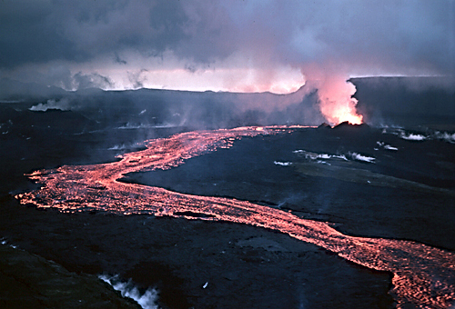
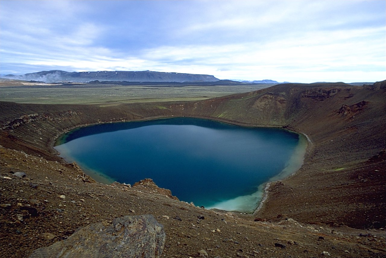
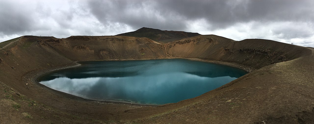
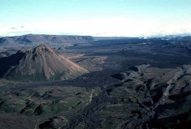
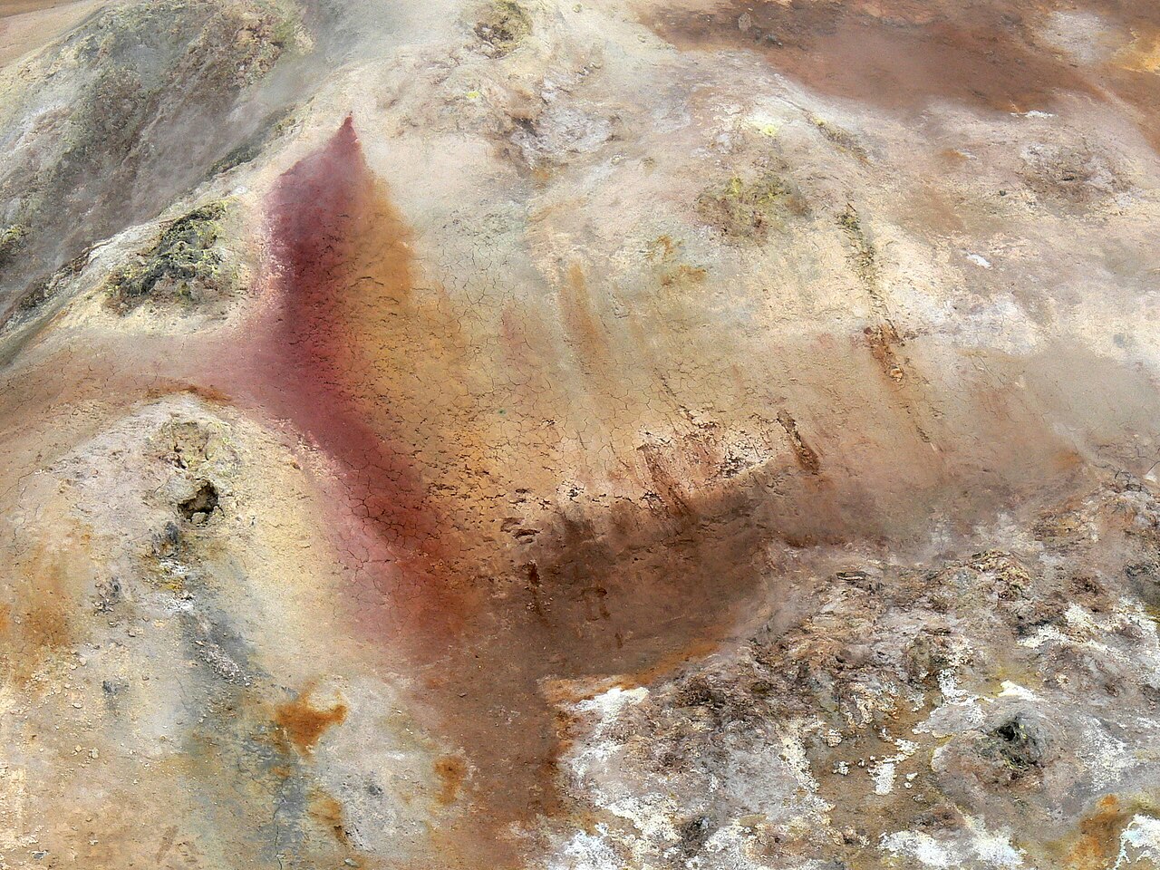
Krafla (Icelandic pronunciation: [ˈkʰrapla] ) is a volcanic caldera of about 10 km (6.2 mi) in diameter with a 90 km (56 mi) long fissure zone. It is located in the north of Iceland in the Mývatn region and is situated on the Iceland hotspot atop the Mid-Atlantic Ridge, which forms the divergent boundary between the North American Plate and the Eurasian Plate. Its highest peak reaches up to 818 m (2,684 ft) and it is 2 km (1.2 mi) in depth. There have been 29 reported eruptions in recorded history.
Photographies by:
Batintherain at English Wikipedia - Public domain
Zones


Statistics: Position
1454
Statistics: Rank
167444




Add new comment