
Holuhraun ([ˈhɔːlʏˌr̥œyːn] ) is a lava field just north of the Vatnajökull ice cap, in the Icelandic Highlands, in Suður-Þingeyjarsýsla, Northeastern Region, Iceland. The lava field was created by fissure eruptions. After a research expedition in 1880, the lava field was initially called Kvislarhraun [ˈkʰvɪstlar̥ˌr̥œyːn]. Four years later, it received its current name from geologist and geographer Þorvaldur Thoroddsen.
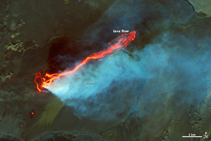
Holuhraun was the site of a volcanic eruption which began on 29 August 2014 and produced a lava field of more than 85 km2 (33 sq mi) and 1.4 km3 (0.34 cu mi) – the largest in Iceland since 1783.





![[node:title]](/sites/default/files/styles/640x320/public/default_images/default_0.JPG.webp?itok=aqV9zhFR)




Add new comment