Cabo da Roca

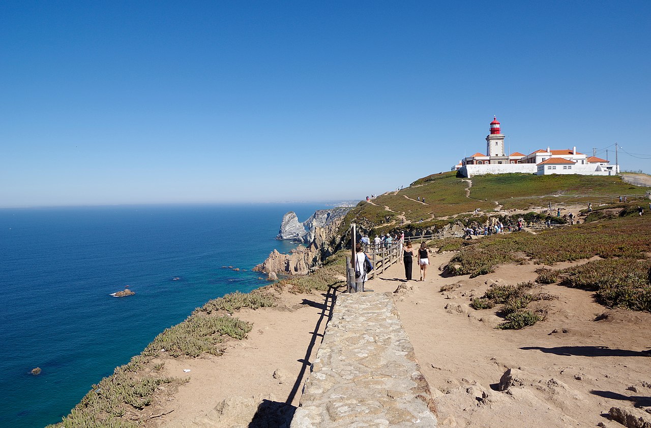
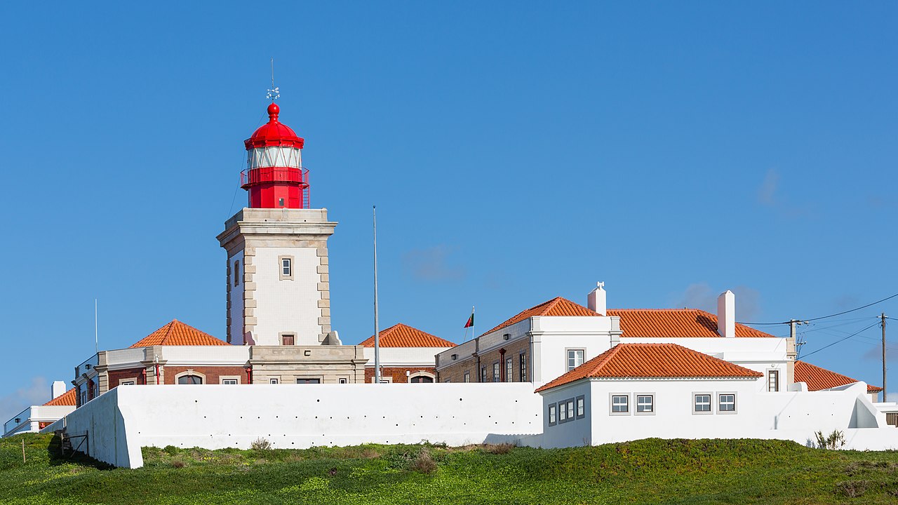
Cabo da Roca (Portuguese: [ˈkaβu ðɐ ˈʁɔkɐ]) or Cape Roca is a cape which forms the westernmost point of the Sintra Mountain Range, of mainland Portugal, of continental Europe, and of the Eurasian landmass. It is situated in the municipality of Sintra, near Azóia, in the south west of the Lisbon District. Notably the point includes a lighthouse that started operation in 1772.

Cabo da Roca was known to the Romans as Promontorium Magnum[1] and during the Age of Sail as the Rock of Lisbon.

Lighthouse
The Cabo da Roca Lighthouse (Portuguese: Farol do Cabo da Roca) is a beacon/lighthouse located 165 metres (541 ft) above the Atlantic Ocean, on Portugal's (and continental Europe's) most westerly extent.[2] It is located in the civil parish of Colares, in the municipality of Sintra, situated on a promontory made up of granite boulders and interspersed limestone. It is a third-order lighthouse, which originally began operating in 1772. It was the first new purpose-built lighthouse to be constructed in the country; the older lighthouses in existence at that time were constructed on existing platforms or from pre-existing beacons.[3]
^ Cite error: The named reference eb was invoked but never defined (see the help page). ^ "NGA List of Lights". Maritime Safety Information. Springfield, Virginia: U.S. National Geospatial-Intelligence Agency (NGA). 2011. Retrieved 18 July 2011. ^ Costa, Patricia (2004). SIPA (ed.). "Farol do Cabo da Roca" (in Portuguese). Lisbon, Portugal: SIPA – Sistema de Informação para o Património Arquitectónico.
Photographies by:
Olga1969 - CC BY 4.0
Statistics: Position
1308
Statistics: Rank
91890

Add new comment

Esta pregunta es para comprobar si usted es un visitante humano y prevenir envíos de spam automatizado.

Security
721689435Click/tap this sequence: 6162

Google street view

Where can you sleep near Cabo da Roca ?

Booking.com
490.008 visits in total, 9.198 Points of interest, 404 Destinations, 57 visits today.