
Anadyr Highway
https://www.openstreetmap.org/directions?engine=fossgis_osrm_car&route=64.732%2C177.506%3B59.560%2C150.799#map=5/64.586/164.443
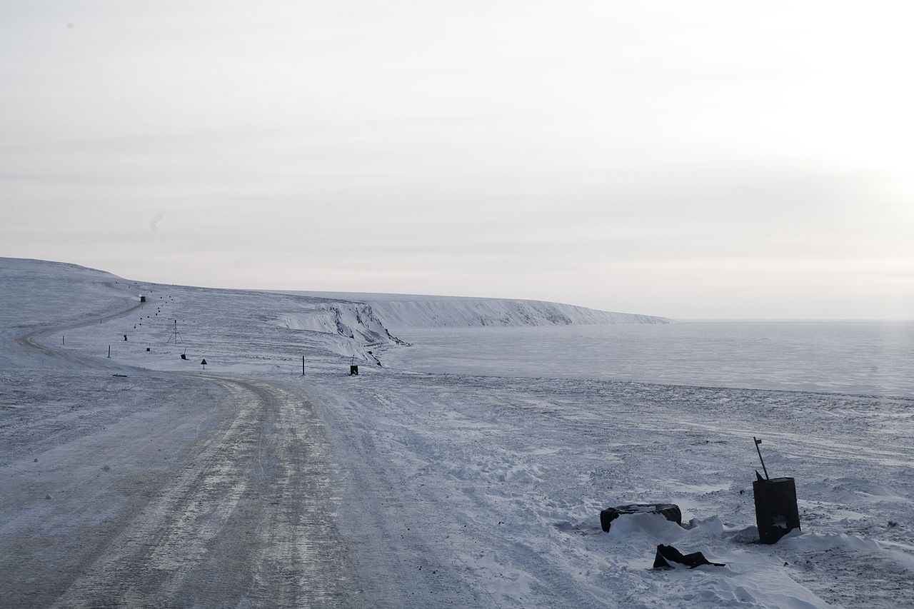
The Anadyr Highway is a highway on the territory of Magadan Oblast and the Chukotka Autonomous Okrug from the R504 Kolyma Highway to the city of Anadyr with branches to Bilibino, Komsomolsky and Egvekinot. In the Magadan Region it is numbered 44H-3; in Chukotka the existing segments have the number 77K-022. The new highway will ensure the year-round connection of the Chukotka Autonomous District with the rest of Russia.
Construction of the road in the Chukotka Autonomous Okrug began in 2012. Construction in the Magadan Region began in 2015. The original plan estimated that it would require 30 years to complete. In some parts of the build, winter lasts 10 months and its temperatures can go below -60C.


![[node:title]](/sites/default/files/styles/640x320/public/default_images/default_0.JPG.webp?itok=aqV9zhFR)







Add new comment